The London Eye to Putney |
Introduction
This walk from one of Londons newst and most famous landmarks, the London Eye. The path continues past County Hall, with views of the Houses of Parliment over the river, past modern offices at Vauxhall. The path then heads "inland" past the remains of Battersea Power Station then on through the attractive Battersea Park. The path continues from the park past modern apartments towards Wandsworth. There is some more "inland" walking round Wandsworth, then into Wandsworth Park and into Putney, the end of the walk.
Getting to the Start
The nearest station to the London Eye is Waterloo, which is served by South West Trains services from South and South West London, Surrey, Berkshire, Hampshire, Dorset and Devon. It is also on the London Underground Jubilee, Bakerloo, Northern and Waterloo & City lines.
Other stations nearby are Westminster (Jubilee, Circle and District lines) and Embankment (Northern, Bakerloo, District and Circle lines). Mainline trains also run to Charing Cross just over the river, which is served by South Eastern services to South, South East London and Kent.
I would strongly advise against driving into central London for the start of this walk as parking is difficult to find and can be very expensive, although there is a public car park quite near the London Eye next to the railway embankment. Also be aware that if you travel into central London during the day on weekdays you will be liably to pay the congenstion charge which is currently £8.
The Walk
From Waterloo station, exit using the exit at the far end of the station, next to the Eurostar terminal. Follow the bridge over the road and through the Shell Centre until the path ends at the green that leads to the London Eye. The London Eye is around 140 metres high, and has proved extremely popular since it was installed for the millennium and has now become a permanent feature of the London skyline. The view from the top is fantastic giving views of most of the famous sites of London. You can also see the classic view of the Houses of Parliament from the south side of the river by the London Eye.
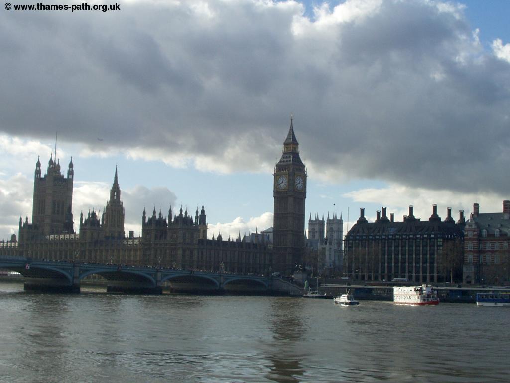 |
| The Houses of Parliament |
As you continue towards Westminster bridge, you pass County Hall where there is also the Namco centre and a small gallery. This part of the path is very busy and crowded. When you get to the bridge, go slightly left and there is a path underneath the bridge. Once you're the other side of the bridge the path becomes far quieter again.
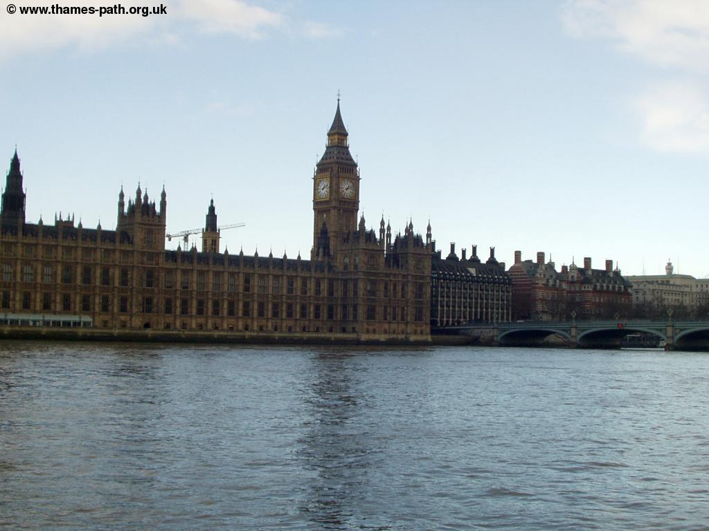 |
| The Houses of Parliament again |
As you continue towards Lambeth Bridge, the busy road comes close to the path, with Lambeth Palace (home of the Archbishop of Canterbury) to the right, along with the Church of St Mary next to it.
 |
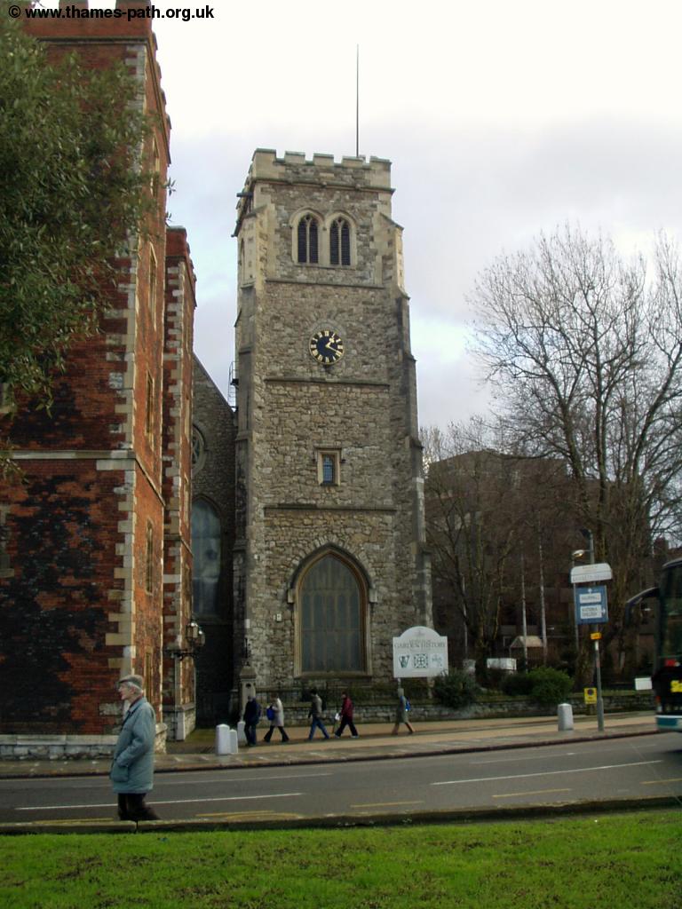 |
| Lambeth Palace | The Church of St Mary |
The path continues next to the main road for a while after Lambeth bridge, but the views back to central London are excellent, and you can also see the London Eye from side on.
 |
| Looking back towards Central London, view of The Houses of Parliament, Lambeth Bridge and the London Eye. The Yellow Boat is the Frog Tour. |
Soon you approach the distinctive cream and green MI6 building along with several other large office blocks. This building is not the most popular in London, making the top 10 ugly buildings list, but at least it's a bit different! There is a small private garden behind this office, but sadly there is fence between it and the Thames path.
 |
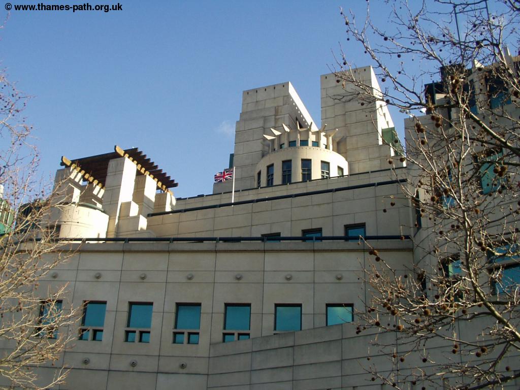 |
| Near the MI6 building | The MI6 building |
Once past the MI6 building you come to Vauxhall Bridge. Cross the road over the bridge (remaining on the south side of the river) or use the tunnel underneath where the path then continues alongside the busy road for a while. Although it looks like there is a path along the river beyond the bridge, through St George's Wharf, you can't get through at the end, and I found the path back to the road through each block of flats was also blocked. It looks as though a river side path might be created when the building work is completed though. Looking along the river you can see the towers of Battersea Power Station looming ahead.
 |
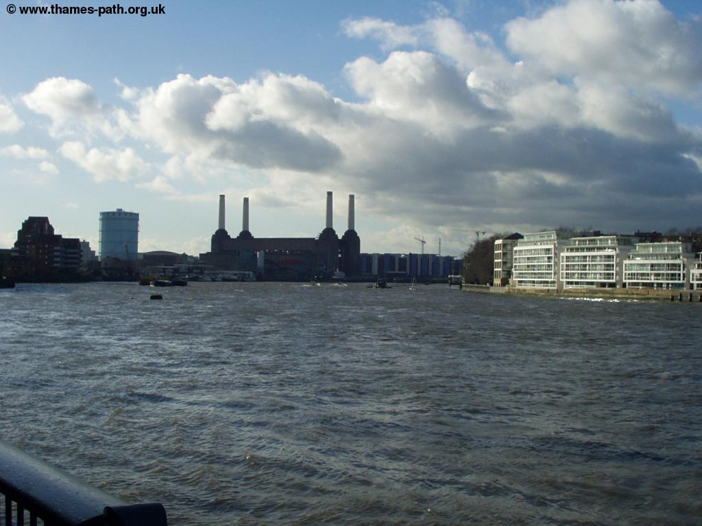 |
| Vauxhall Bridge | The remains of Battersea Power Station ahead |
Once round St George's Wharf, the path continues along the river again, but is never far from the busy road. There are good views back towards central London again and the curvature of the river means the London Eye now looks like it's on the North Bank, rather than the south when looking back. It's worth mentioning the traffic here, which was three lanes of almost completely stationary traffic in both directions - so I wouldn't recommend driving here!
 |
| View back towards Central London - notice how the London Eye seems to have switched banks! |
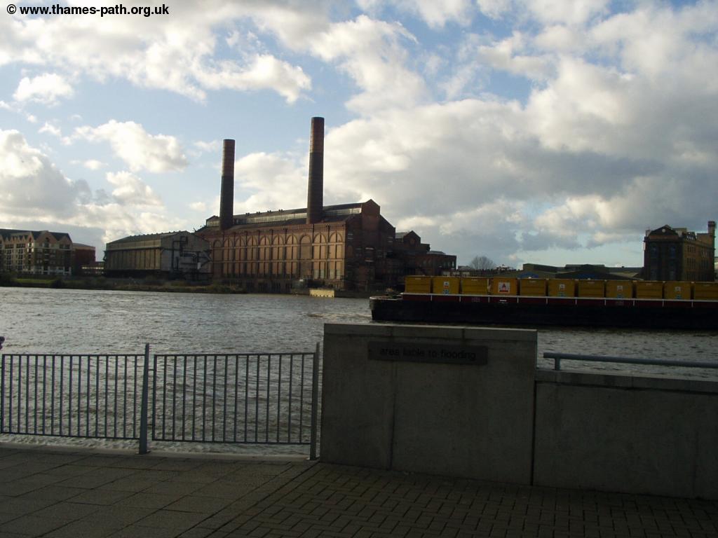
Soon the path heads away from the river again, back through some industrial buildings. It is well signed here and you soon re-join the road as you come up to the site of Battersea Power Station. It's now almost 20 years since this building was last used and it still remains derelict and un-used. The shell of the building will remain, as it has now been listed, but there are plans for the development of the site however they were submitted in 2000 and nothing seems to have happened since. The area is currently fenced off, so it's impossible to get a good view of this vast (and in my opinion ugly) building.
As you continue along the road, you'll probably notice the sound of barking dogs - this is because Battersea Dogs Home is coming up. The dogs home is sandwiched between the Gas Works and the many railway lines into Victoria, but there is a shop at the dogs home. Continue along the road and as you go under the railway bridge, take the right hand of the two roads. When you get to the busy roundabout, take the entrance into Battersea park (more or less straight on). Take care crossing the roundabout as the road to the right as you approach heads to Chelsea bridge.
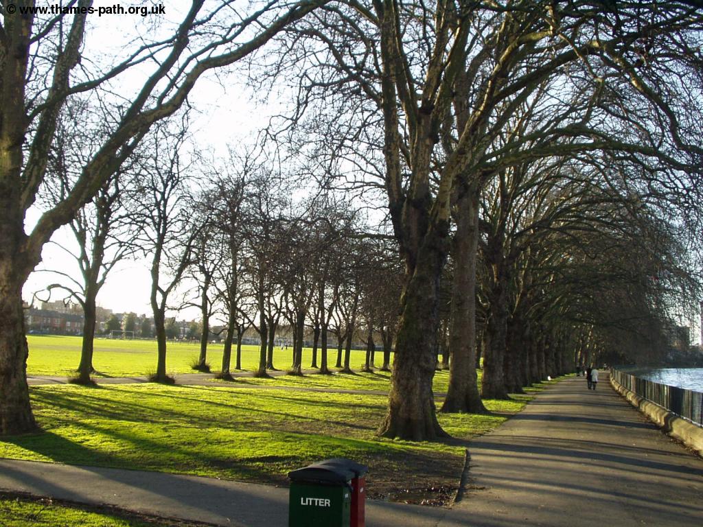
Battersea park is a large and attractive park, which includes a lake, sports facilities and even a children's zoo. Despite the proximity to the nearby roads and railways the park is quite peaceful and it's size means it feels more rural than it really is. When I walked the path, there was some work going on to refurbish part of the park near the road, but it should soon finish. It's worth exploring the park a bit, but the Thames Path continues along the right-hand edge of the park (it is well signed) until you get to the river and Chelsea bridge.
 |
 |
| Battersea Park | Chelsea Bridge |
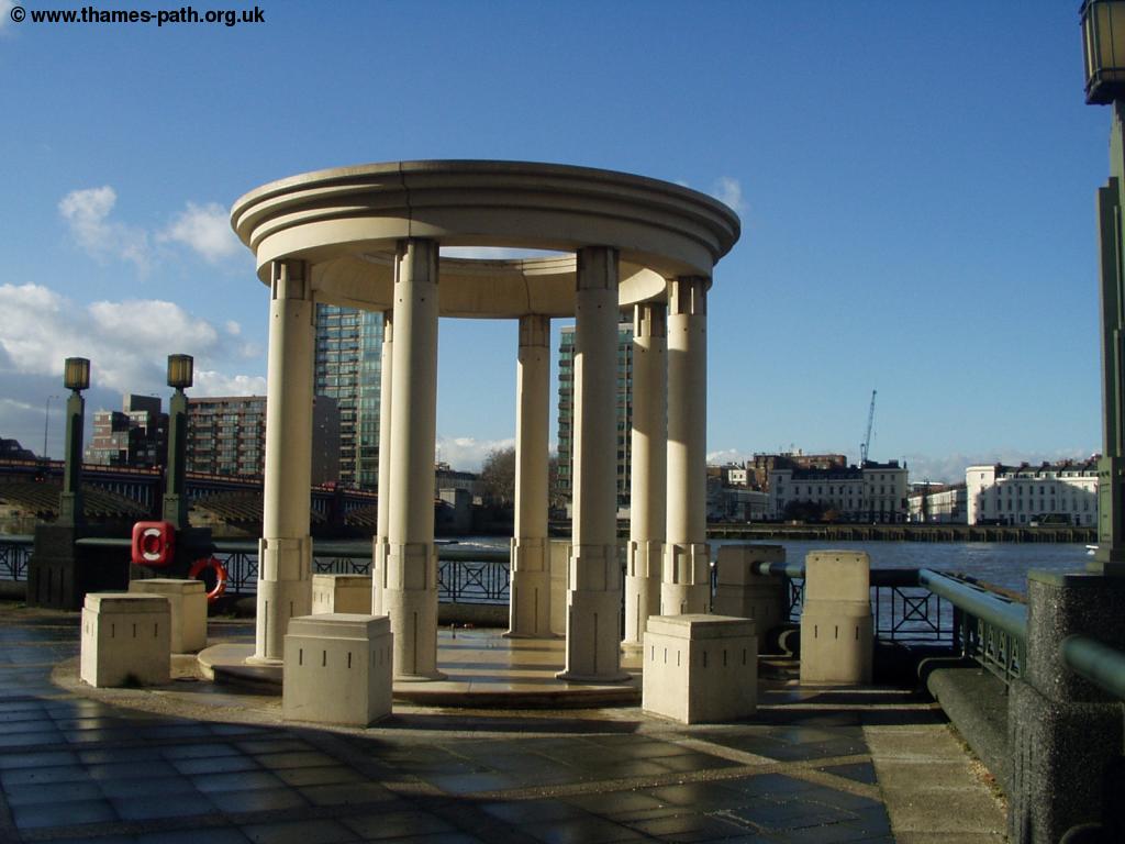
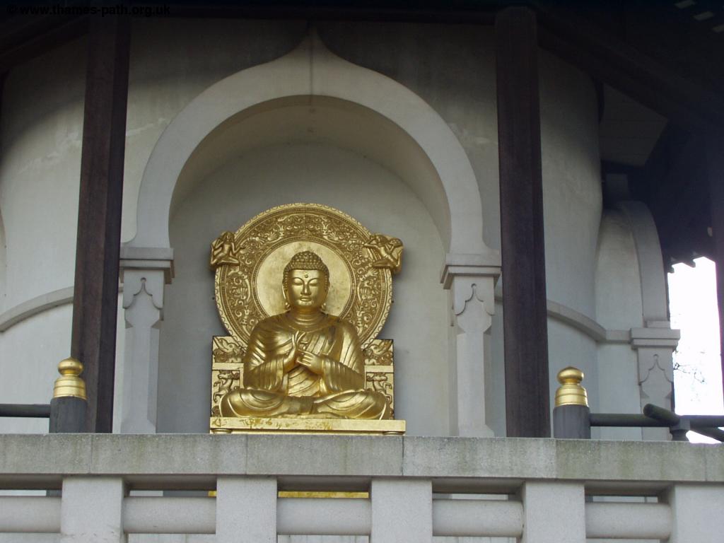
The riverside walk through the park is very pleasant, with good views of the river and Chelsea Bridge, the Royal Hospital Chelsea across the river and Albert Bridge ahead. Soon you reach the Peace Pagoda, a gift to London from the Japanese Buddhist Order in 1985.
 |
 |
| Chelsea Bridge | The Peace Pagoda |
 |
 |
| The Peace Pagoda | Albert Bridge |
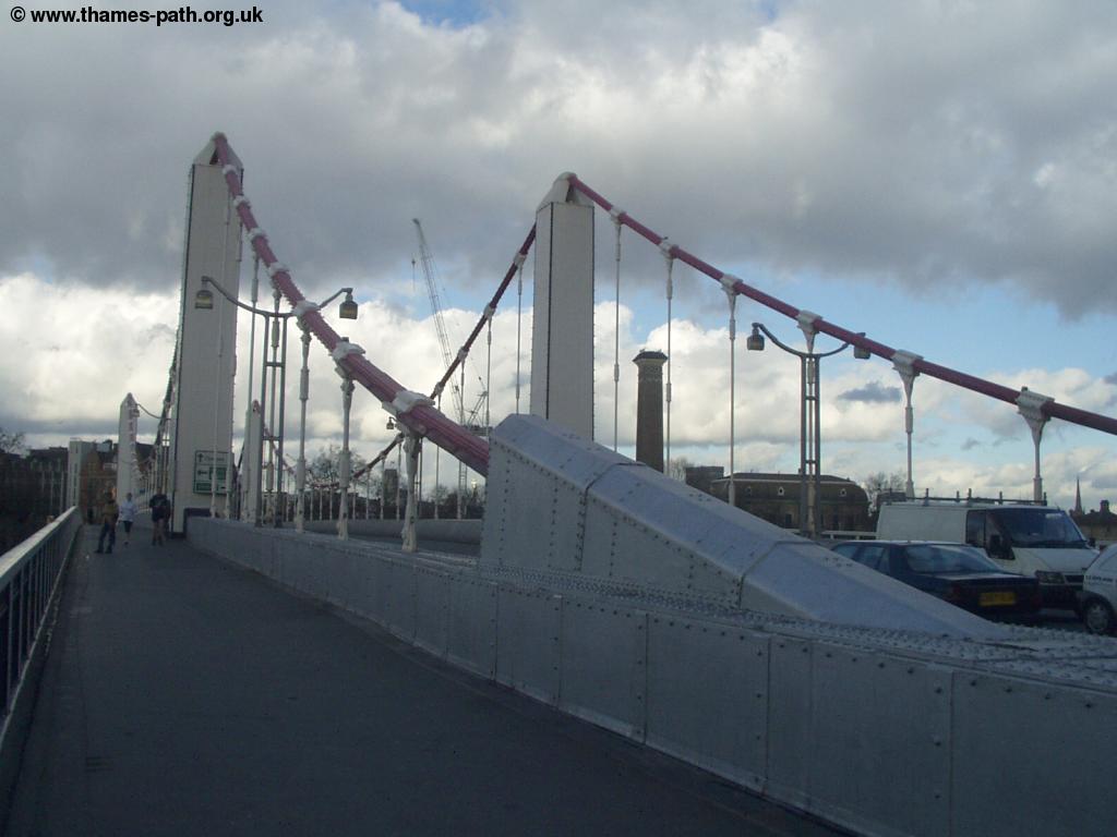
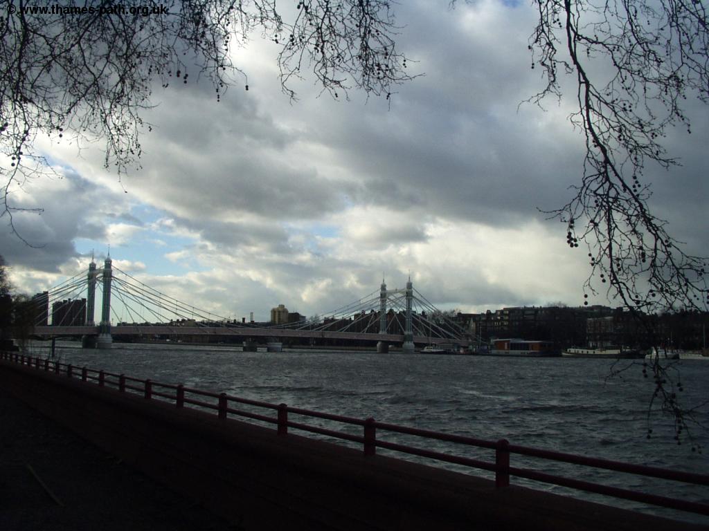
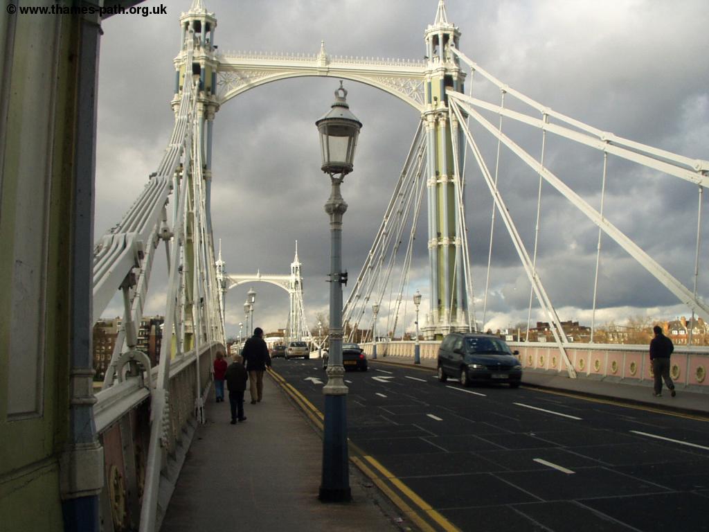
At the other end of the park you come to the next bridge, Albert Bridge, an attractive bridge, but it does carry an awful lot of traffic now! Once over the busy road, the path passes some large residential flats, called Waterside Point, where there is a small dock with a few boats.
 |
 |
| Albert Bridge | The dock near Waterside Point |
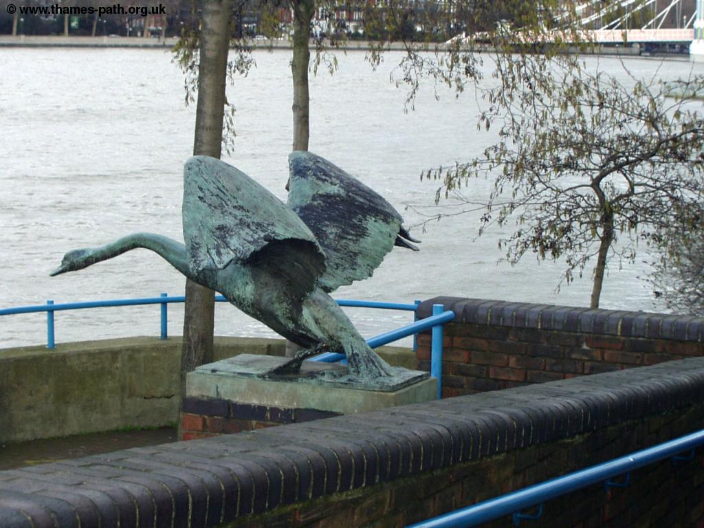
Continue on the path by the river past the large residential blocks to Battersea bridge, where there is an attractive swan statue. Cross the busy road over the bridge and you'll find another statue.
 |
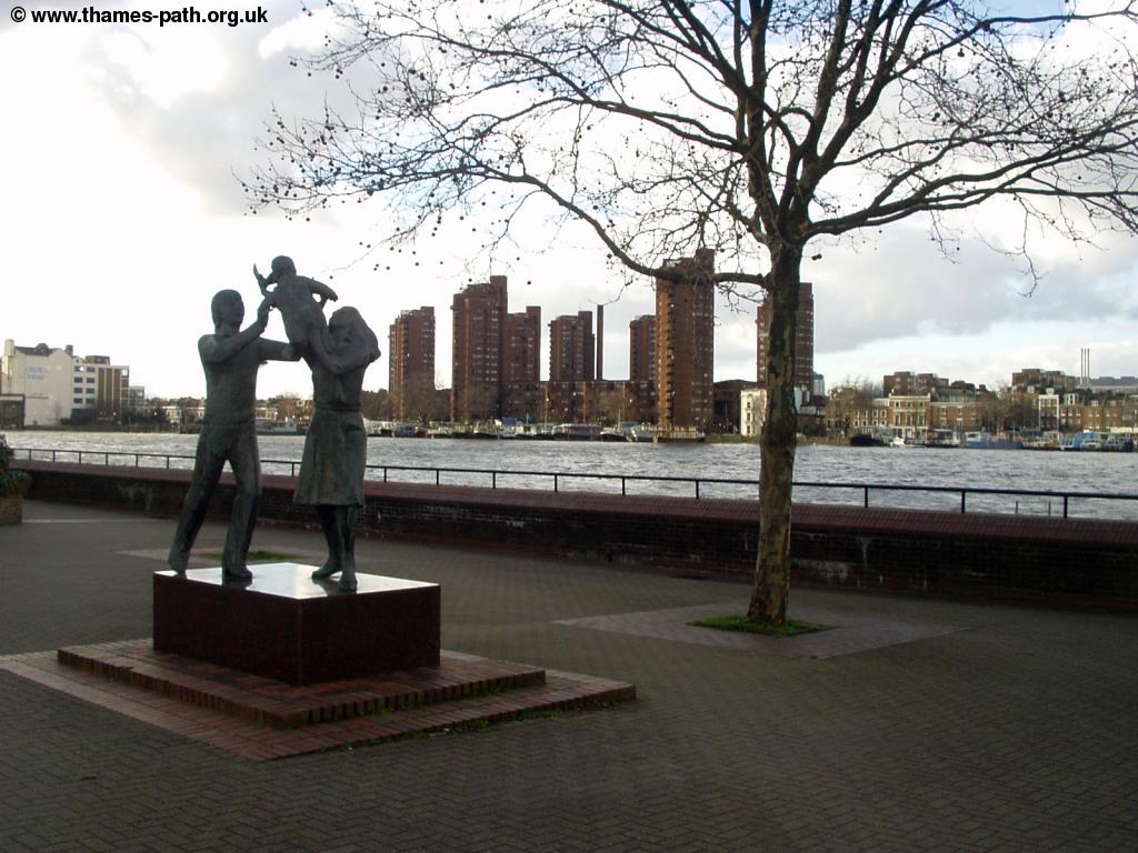 |
| The Swan Statue | Another Statue |
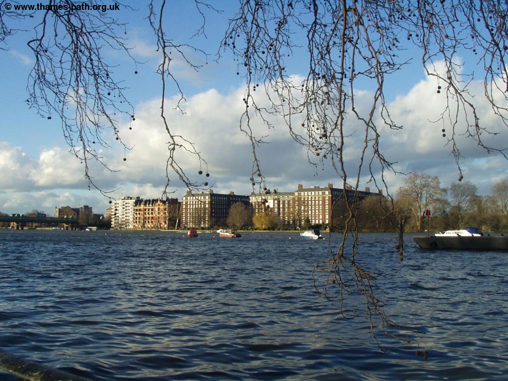
The path continues along the river side, where you get good views back to Battersea bridge, one of the more attractive bridges of the Thames. There are some modern flats on this side of the river, but the other side seems an odd mix between housing and industry.
 |
 |
| Battersea Bridge | Industrial buildings across the river |
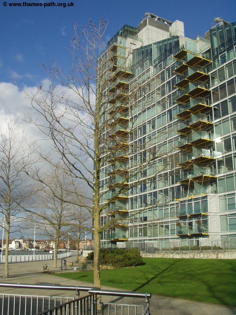
There are some very large and modern flats on this side of the river, so it's something of a surprise to stumble across the attractive Church of St Mary, somewhat dwarfed by the surrounding buildings.
 |
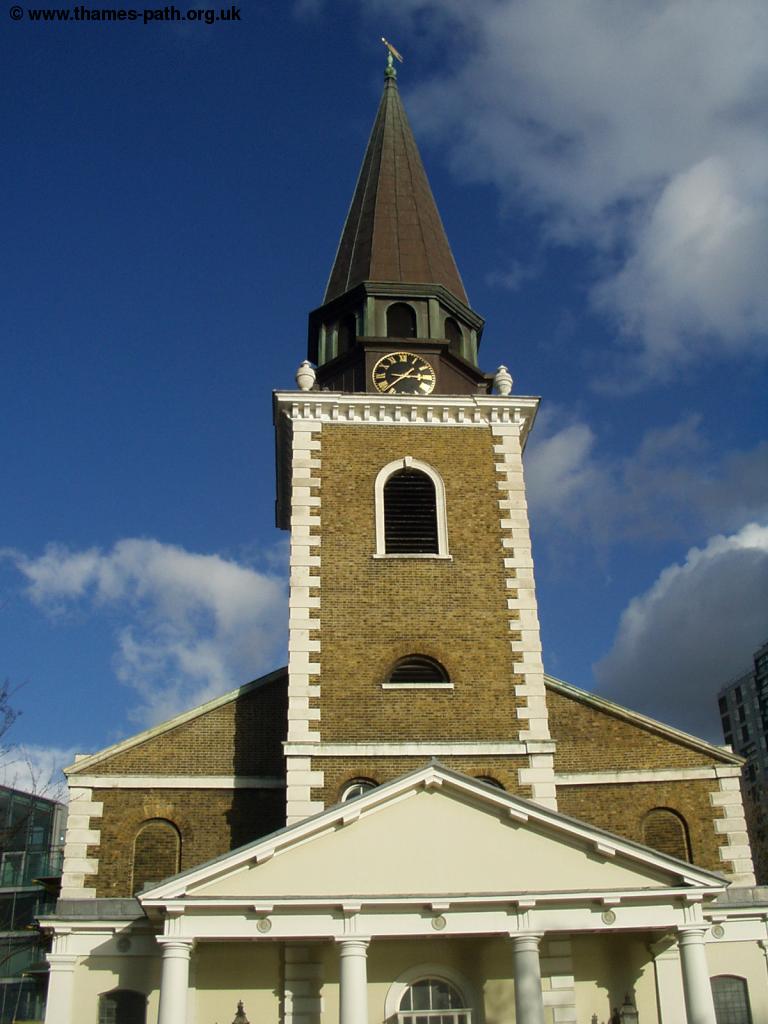 |
| Modern Flats | The Church of St. Mary |
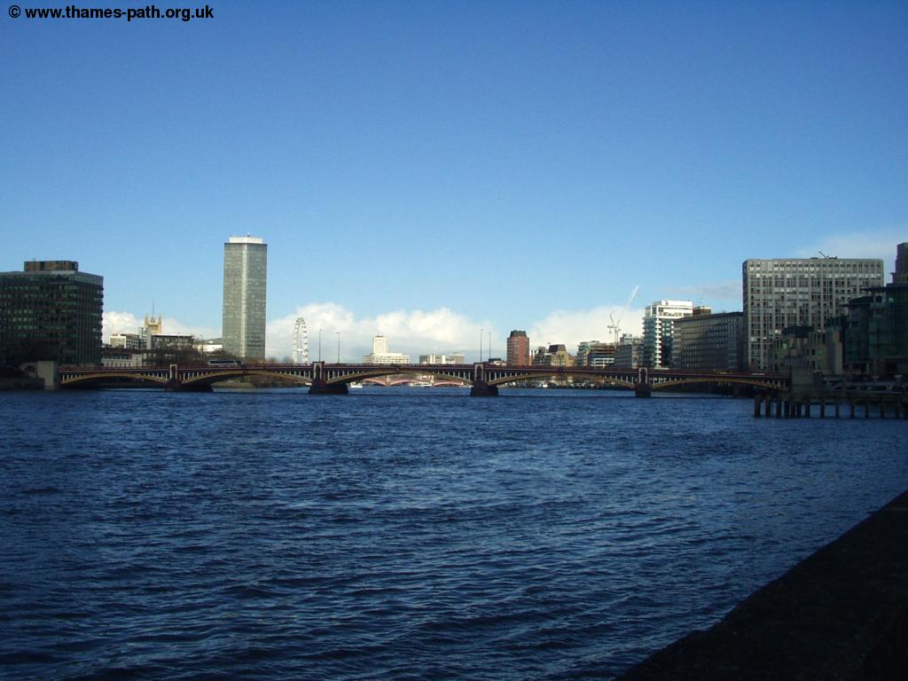
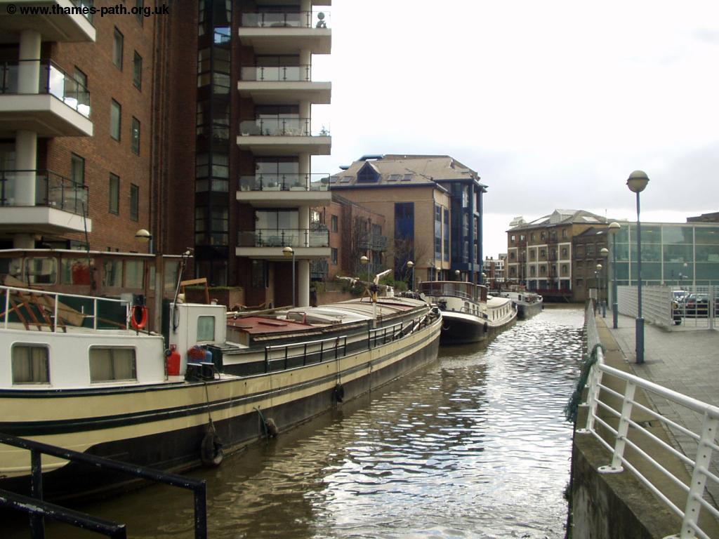
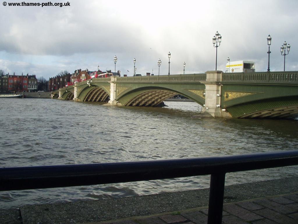
The next section of the path continues along the river, past modern flats and some house boats on the river side. As you head towards Wandsworth the path heads away from the river again, under the railway bridge. Continue on Lombard Road once under the bridge. Where this road joins the main road (York Road) turn right and continue on the road. To the right here is a heliport, and it's common to see helicopters landing and taking off - probably the fastest way to get around given the congestion on the roads! Once past the large warehouse on the right, turn into York Place to the riverside once more. There are views ahead towards Wandsworth Bridge (one of the ugliest bridges in my view). Sadly the Thames Path is next to the river only briefly - soon you come to a large industrial building, so it's back to the road, via Mendip Road and when joining the main road (York Road) turn right. The path is signed, but the signs can be difficult to spot here.
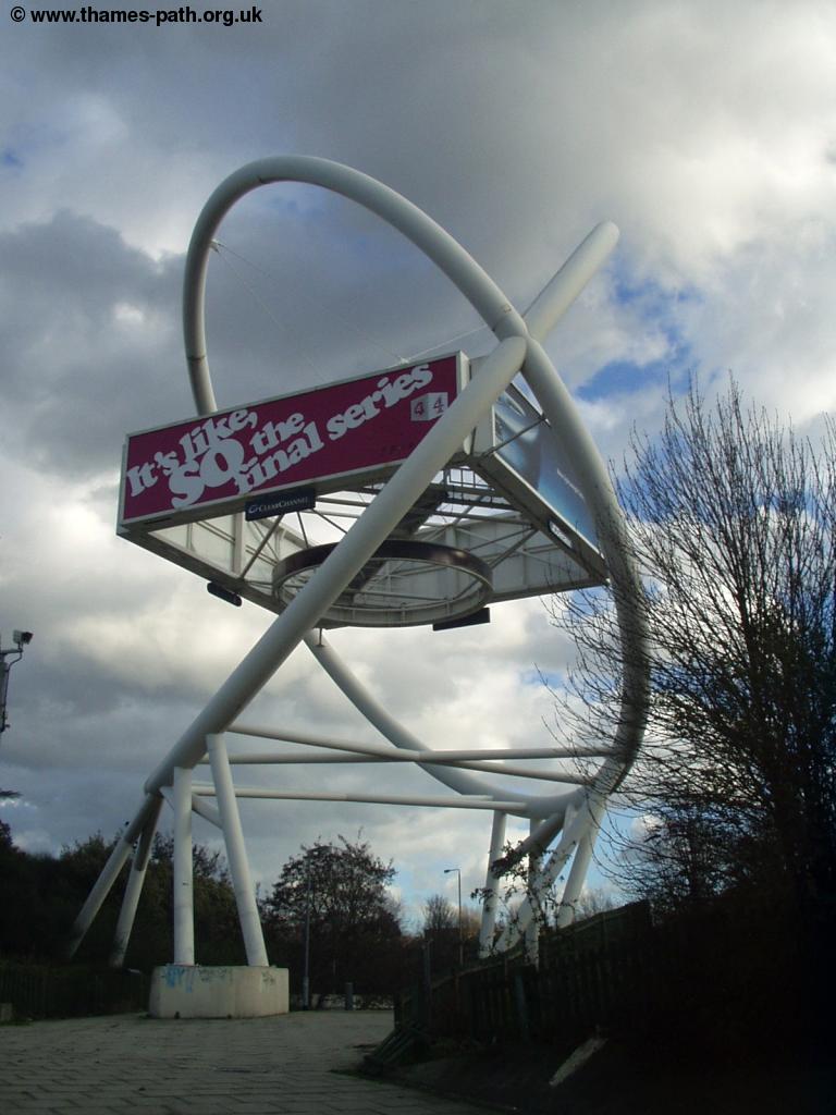
Soon you approach a large road junction near Wandsworth Bridge, where there are several large shops and a rather odd construction in the centre of it. As you come to the junction, stick to the right nearest the river and then join the road over Wandsworth Bridge. There were some roadworks here resulting in the closure of one of the pedestrian crossings so I had to head into the subway underneath which was not well signed. Just before the bridge, turn left down Jew's Road, by the McDonalds and the bus garage. You have to walk behind the Ship Inn pub and then right back to the riverside. Here there are good views back towards Wandsworth Bridge, but the views ahead are very poor, with a large Waste Transfer Station, where the waste is loaded onto barges.
 |
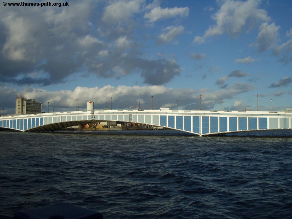 |
| The odd construction in the centre of the junction near Wandsworth Bridge | Wandsworth Bridge |
As you approach the Waste Transfer Station the path seems to continue on a very high walkway over the building, but it's sadly blocked by a locked gate, although it's possible it is open on weekdays when the building is in use. Assuming the path is not open, head back along Smugglers Way and continue straight on into The Causeway. As the road turns to the left continue straight on over the new footbridge over the creek. The signs can be difficult to spot here, but continue into Enterprise Way and then turn left at the junction with Osiers Road, there is no way to the river if you turn right. At the end of the road, turn right into Point Pleasant and then left at the end when you get back to the river. Continue straight ahead into Wandsworth Park. This park is much smaller than Battersea Park, but has a pleasant tree-lined river side path.
 |
 |
| Wandsworth Park | The River from Wandsworth Park |
At the end of the path through the park turn left and then soon right (it is well signed). There is a gate here, but it should be unlocked! You come into a small residential development and go straight on under the arch into Deodar Road, a quiet residential road. About halfway along the road you come to the metal bridge carrying the District Line over the Thames. There is a footpath at the side of the bridge which takes you to Putney Bridge station. The road turns to the left and when it joins Putney Bridge Road turn right and you see the busy Putney High Street ahead. The Bridge is to the right and most of the shops up the hill to the left. If you're returning from Putney Station, turn left up the High Street, the station is at the top of the hill, just before you get to Upper Richmond Road.
Getting Back
Putney has good transport links back to central London and further afield. There are stations on the District Line Wimbledon Branch at Putney Bridge, across the river. To get to this walk across the bridge just before you come in to the centre of Putney. Putney Bridge has frequent trains to Wimbledon (for South West Trains, First Capital Connect and Tramlink) and frequent trains into central London and beyond towards Upminster. Putney Bridge and East Putney stations are both in zone 2.
Putney also has a rail station, which is at the top of the high street. From this station there are frequent trains (operated by South West Trains) to Wandsworth Town, Clapham Junction (for Southern Trains), Queenstown Road, Vauxhall (for the Victoria Line) and London Waterloo (for Eurostar and the Bakerloo, Northern, Jubilee and Waterloo and City Lines.). Putney also has frequent trains to Richmond, Twickenham, Hounslow, Staines, Windosr and Weybridge (and on Sundays also to Ascot, Bracknell and Reading).
Links
The following web sites provide information on the area.
Every effort is made to ensure the accuracy of information on this site, but liability will not be assumed in the event of any inaccuracies. Use of the information on this site is at your own risk. If you find any errors, please use the link below. The text and photographs on this web site are all Copyright © and may not be reproduced without prior permission