Barnes Bridge to Teddington
Barnes Bridge to Teddington | |
| Upstream: Richmond to Hampton Court | Back to Main Page | Downstream (North): Barnes to Embankment |
| South: Putney to Richmond | Downstream (South): London Eye to Putney |
Introduction
This walk follows the Thames west from Barnes bridge, keeping to the north bank of the Thames. The walk takes in the pretty village of Strand-on-the-Green and on through Brentford, Syon Park, Isleworth, St Margaret's, Twickenham, Strawberry Hill and Teddington, the tidal limit of the Thames.
Getting to the Start
This walk starts from the north side of the Thames by Barnes Bridge. As this walk is close to central London it is recommended to travel by public transport if possible, as parking is also very limited. If you do travel by car it is best to head for Barnes on the south side of the river. Barnes is reached from the A316 (which is the continuation of the M3 motorway). Continue on the A316 until you cross Twickenham bridge. Go straight on along the A316 at the junction ahead in Richmond and at the next junction fork right onto the A3003 into Mortlake and along the river. From the M4 motorway at junction 1 continue forward onto the A4 and at the next roundabout (The Hogarth Roundabout) turn right onto the A316 and cross via Chiswick Bridge. Turn left at the junction ahead onto the A3003 into Mortlake and on beside the Thames into Barnes. There is no off-street parking as far as I am aware in Barnes. There is on-street parking around Barnes green and by the Thames but much of it is all either restricted to 1 or 2 hours or residents only, although the restrictions at the time of writing only apply from 10am to midday on weekdays. South of Barnes Bridge at the time of writing (February 2008) there are no parking restrictions although the local council is consulting to introduce restrictions here too so if these are introduced it is likely to be residents only too.
By public transport, the nearest station is Barnes Bridge, on the bridge itself. Barnes Bridge has frequent train services from London Waterloo (for London UndergrounD Bakerloo, Northern, Jubilee and Waterloo and City Lines), Vauxhall (for London UndergrounD Victoria line) and Clapham Junction. There are also direct trains to Barnes Bridge from Richmond (for London UndergrounD District line) and to Hounslow, Feltham, Staines, Chertsey and Weybridge. All trains to Barnes Bridge are operated by South West Trains. The journey from London Waterloo takes around 20 minutes.
The Walk
If you start from Barnes Bridge railway station (or park in Barnes), cross the Thames via the railway bridge, which has a footpath running along side the tracks and take the steps down onto the north side of the river.
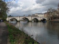
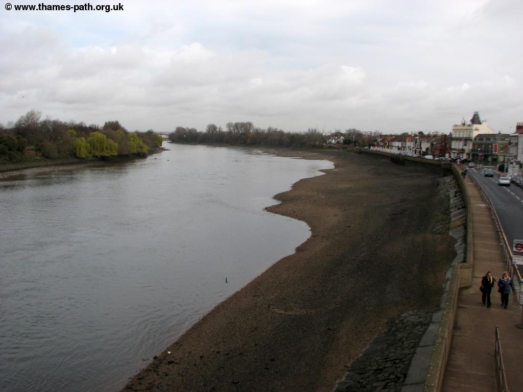 |
| The Thames at Barnes |
The Thames path to the right goes along beside the river, but to head upstream go straight on keeping the railway line to your left. You follow the road until you can turn left along the road where there is a tunnel under the railway line. Once under turn left and head back along the road to the Thames. The path then runs alongside the river although it can be quite narrow in places. To the right are playing fields whilst beside the river you have views over Mortlake. Follow this pleasant path west soon passing the Mortlake Brewery on the opposite bank, where Budweiser is brewed.
 |
| Mortlake Brewery |
Ahead you have the grand stone Chiswick Bridge.
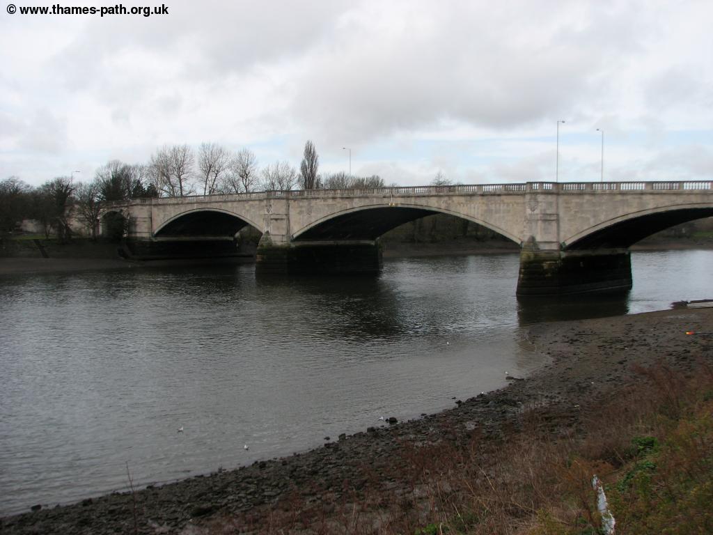 |
| Chiswick Bridge |
Pass under the bridge and then take the steps up onto the bridge, turn left and walk beside the main road (the A316, Great Chertsey Road). This bridge is the end point for the annual Oxford v Cambridge boat race. At the junction turn left along Hartington Road past a recreation ground on the left and then take the first left, Ibis Lane. At the end continue past the houses and cross the path over the lock gate, the entrance to Chiswick Quay to the right. The signs in this area warn this is private and not a right of way, but the Thames path does in fact follow this route so it is a valid path. You can follow the water front path past the houses to the right (with again very prominent private signs) and when you can't get any further ahead turn right and follow the road back to the main road, Hartington Road. The path now follows this road for more than half a mile and there is little chance of seeing the Thames. The large houses to the left have huge gardens going right down to the Thames, hence the reason for the road diversion. Another road joins from the right at a mini roundabout. Go straight on here along Grove Park Road and you'll then come to the Thames as the road becomes, appropriately enough, Thames Road. The Thames Path has now entered the lovely village of Strand-on-the-Green. It's hard to believe we are still in greater London here as the lovely cottages front right on to the Thames. Ahead you pass under Kew railway bridge that carries the District line on it's way to Richmond. Beyond the lovely path beside the houses continues and to the left you have an island, one of several along this part of the Thames, this one being entirely covered with trees (there is no public access) and known as Olivers Island apparently after Oliver Cromwell who was rumored to have taken refuge on the island.
 |
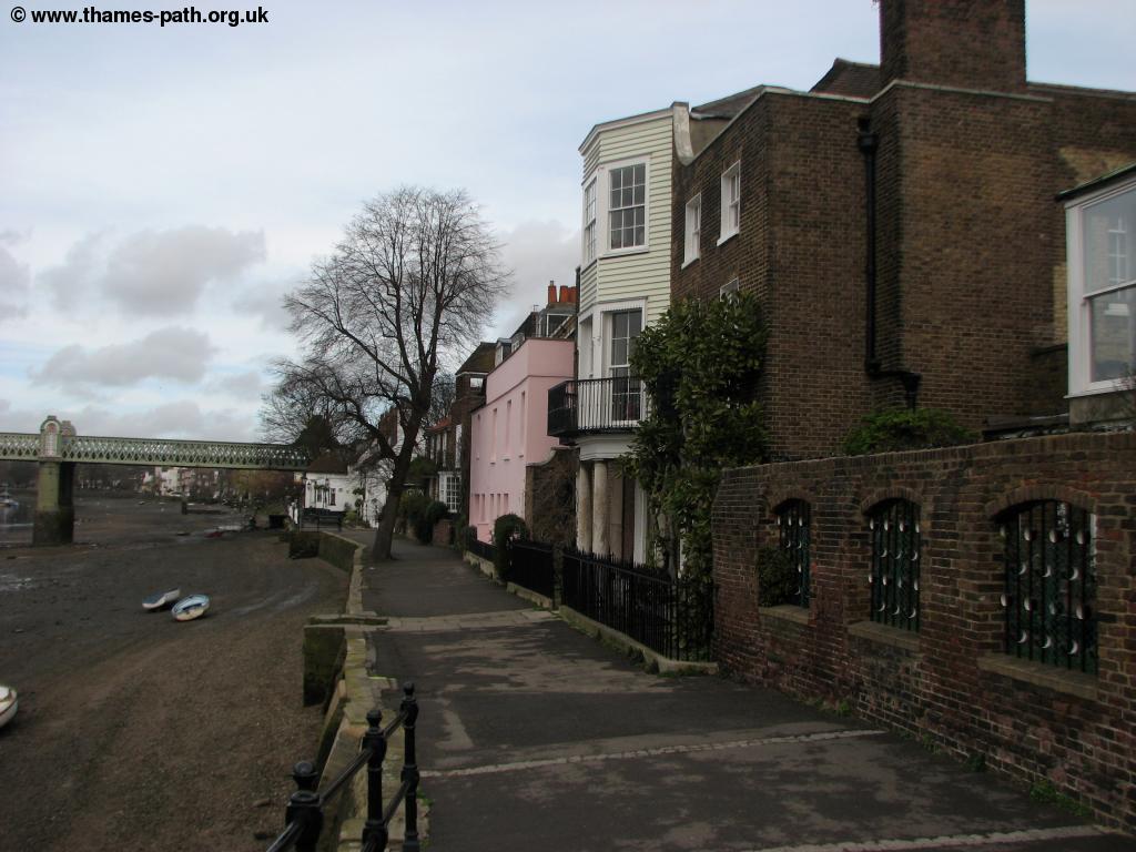 |
| Kew Railway Bridge | Strand-on-the-Green |
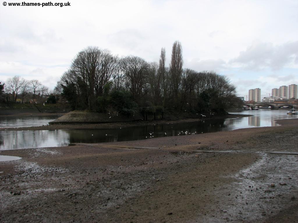 |
 |
| Olivers Island | Strand-on-the-Green |
You can continue on this lovely path all the way to the next bridge, Kew Bridge. Here you follow the road round to the right until you can then turn back sharply left and pass under the bridge. The path continues in front of buildings here with many house boats (in various states of repair) are moored along the banks.
 |
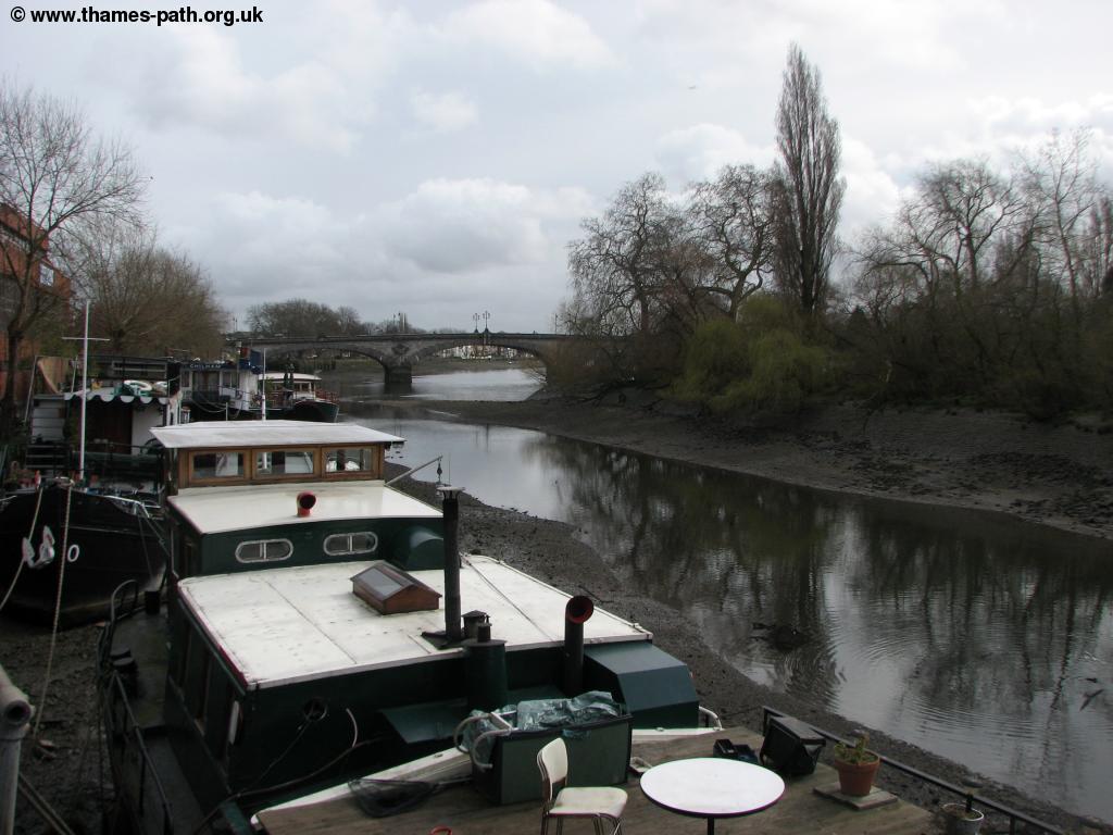 |
| Kew Road Bridge | Kew road bridge and houses |
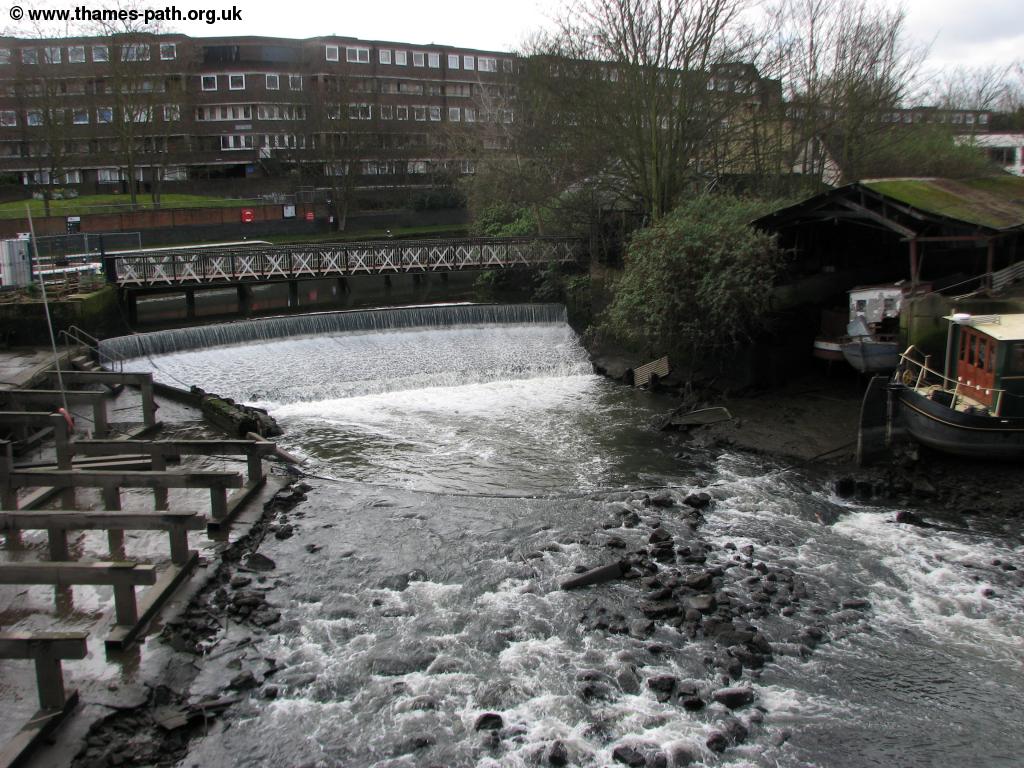
You briefly head away from the river onto the High Street and then turn back left into a park. This park unusually has a board-walk built out over the Thames which the Thames Path follows past more house boats. Continue past buildings on the right with a boat yard on the island in the Thames to the left and when the route is blocked ahead turn right to re-join the road, High Street. Walk past the rather run-down buildings on the left and take the first road on the left back down to the Thames. New flats have been built, creating a new river side path in doing so. Take the path closest to the river. There is an area of land, almost an island, lying derelict to the left although I believe this is due to be developed into a restaurant. Go past the canal basin on the left and when it ends turn left again, doubling back on the other side, past the lock gate and back to the river front path. Across the river now is Kew Gardens and you can make out the pink coloured building of Kew Palace. The path now leaves the Thames once more to follow the banks of the river Brent, at this point forming part of the Grand Union Canal, a network of canals that go up to Birmingham. On the opposite bank are some rather ugly flats. Ahead the path turns right along the edge of a working boat yard and continues back up to the High Street. Turn left and take the next left again, Dock Road, through a light industrial area back down past the other side of the boat yard and to Thames Lock, the first lock on the Grand Union Canal. Cross and turn right, with the canal to your right and the flats to your left.
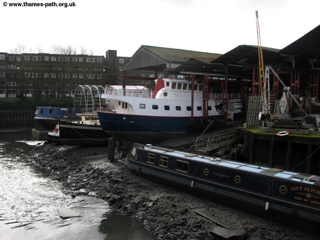 |
 |
| Boat Yard in Brentford | The River Brent |
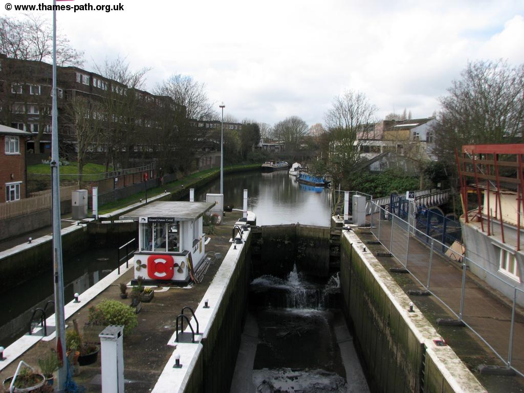 |
 |
| The Thames Lock | The Grand Union Canal |
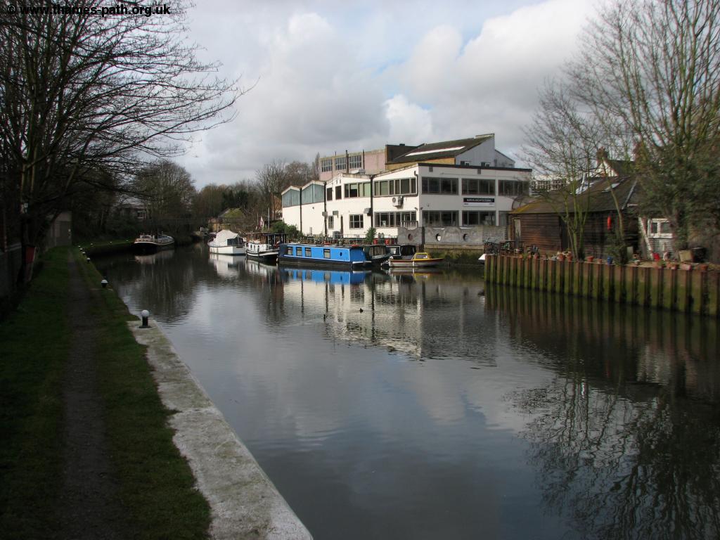
The path is quite narrow here and when you come to another footbridge ahead take the path onto it and cross the canal again (this seems rather illogical, but is the correct route). You now keep right beside the canal bank passing under the road and beside more house boats on this narrow path (that looks private in places). The path turns right, keeping with the canal and then comes to the road bridge ahead, the A315. Here you climb onto the road and turn left. Follow this road, London Road through the edge of Brentford, passing a retail park on the opposite side of the road as well as some flats. After passing Field Lane to the right on the opposite side of the road turn left and follow this path into Syon Park. Syon Park is the home of the duke of Northumberland and is a large stately home and park. The house, gardens and conservatory are open to the public (the garden daily, the house several times a week during the summer). Follow the combined foot and cycle path south to come to the car park. Here there is a large garden centre, Edinburgh Woolen mill, cafe and toilets. Continue on the main path ahead passing this grand house on the left, still used as a home. The impressive gardens run right down to the Thames. The gardens in particular are interesting (although you do have to pay admission, there is a reduced rate if not visiting the house) as the gardens join the banks of the Thames, that unlike any other part of the Thames in London are still meadows that flood at high tide. All the rest of the Thames through greater London has had embankments built to control the river and prevent flooding. The Thames path now follows along the grass beside the road through the attractive Syon Park. This part of the walk also shares the route of the Capital Ring, a path that encircles London.
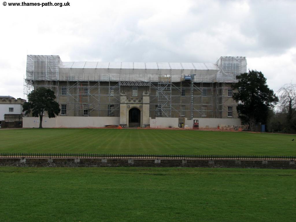 |
| Syon House |
At the park exit turn left and you are now in the pretty water side town of Old Isleworth. The coloured buildings make for an attractive view and you have a large pub, The London Apprentice straight ahead.
 |
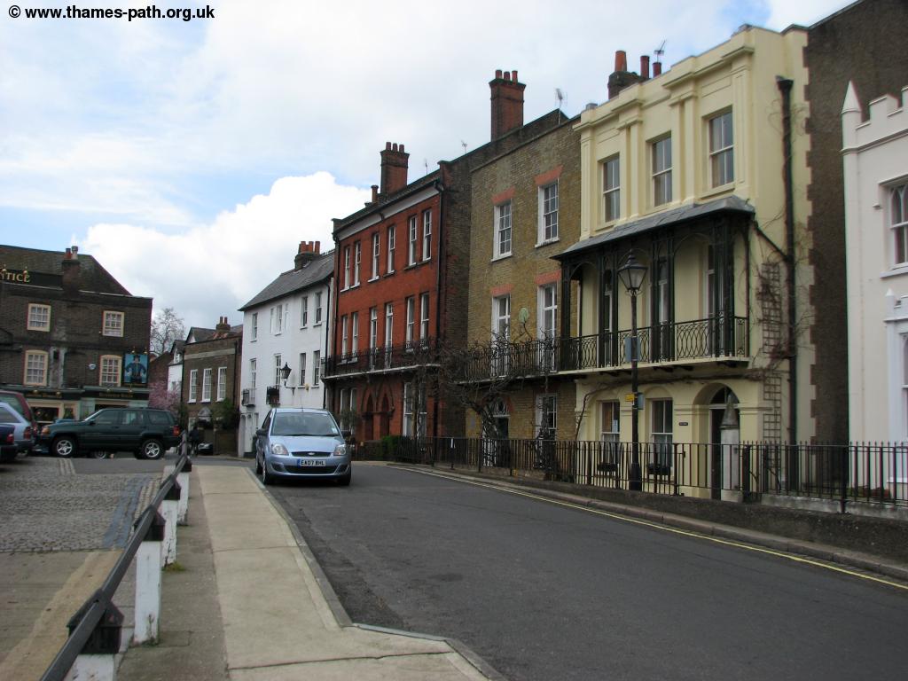 |
| The Thames at Isleworth | Old Isleworth |
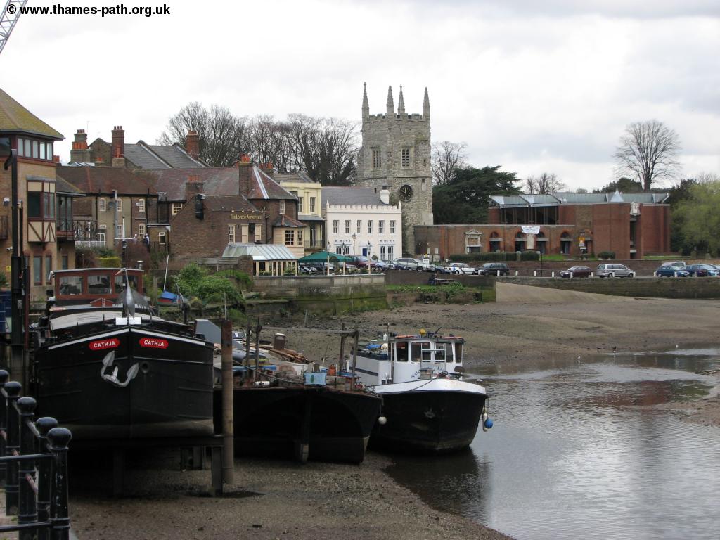 |
 |
| Old Isleworth | The Thames at Isleworth |
Follow this road as you briefly leave the river and then turn left after you pass the road Mill Plat on the right. Pass an office building on the right and rejoin the Thames turning right. The long island, Isleworth Ait ahead is mostly woodland and the bulk of the water flows the opposite side of the island - if it is low tide it can appear the Thames has been reduced to a muddy stream! Ahead you come to Lion Wharf and the path again leaves the river after passing through the beer garden of a pub! Turn right along Lion Wharf Road and then turn left along Richmond Road. Follow the road as it curves round and cross the River Crane. Once you cross the Crane turn left to take the road back down to the river by a large boat yard. To the right you pass part of Brunel University and ahead you can now see the grand bridge of Richmond Lock. This is a part tidal lock, with the lock covered at high tide but open at low tide when the gates rise under the main bridge, forming a weir.
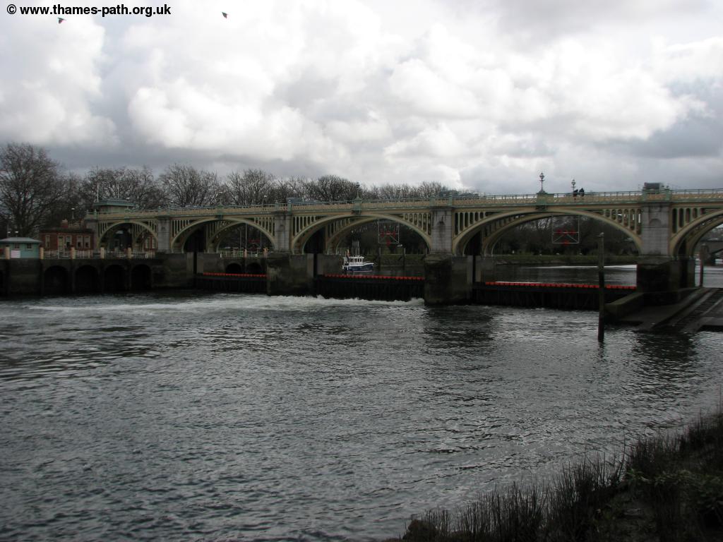 |
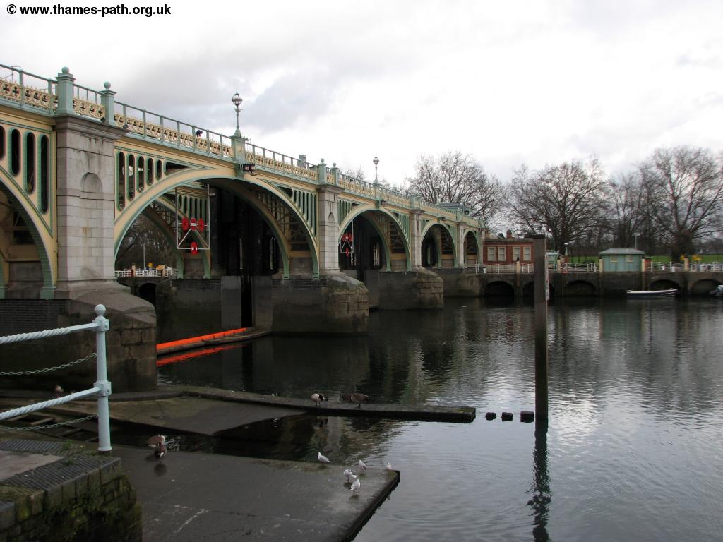 |
| Richmond Lock | Richmond Lock |
Follow the path beside the river, passing under the bridge. Going straight on you follow a road and soon pass under Twickenham bridge and almost immediately afterwards, Richmond railway bridge. Beyond the bridge the road continues with more house boats to the left and soon houses to, briefly blocking views of the Thames. Soon the road meets the junction ahead with Richmond Bridge to the left. Cross the road and then turn left down back to the Thames. The path now passes through a narrow river side park, with views of the fine houses of Richmond on the opposite bank and soon, the Star and Garter Home for service men dominating the view on it's hill top location.
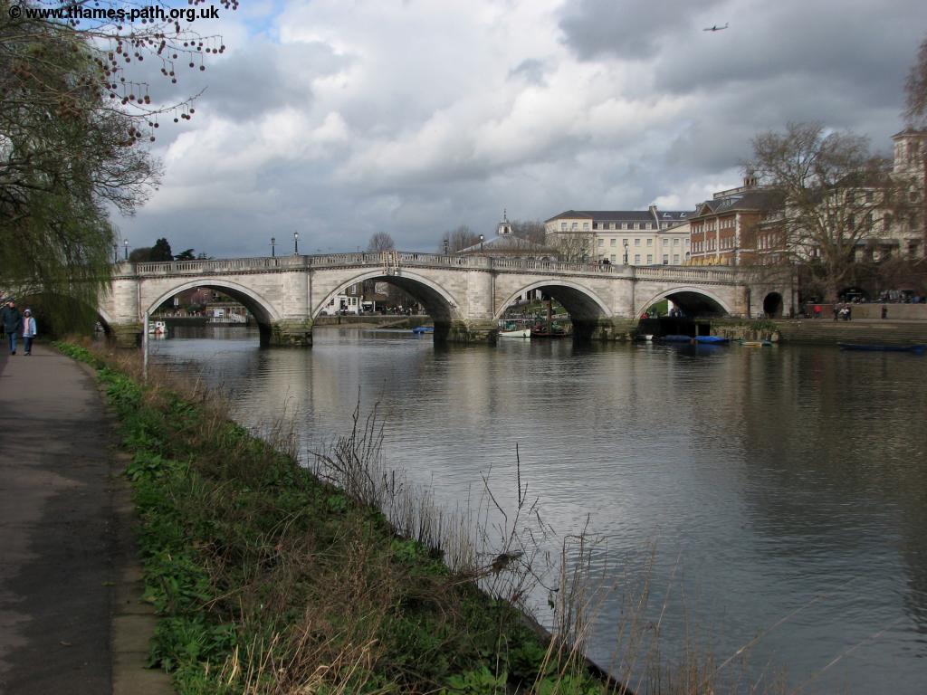 |
 |
| Richmond Bridge | The Thames at Richmond |
Follow the easy path that continues for a couple of miles now. This is a lovely part of the Thames with the opposite bank now being open areas of grass leading to Ham and to the right you soon pass through Marble Hill Park. This a large park with the attractive white stone Marble Hill House overlooking the river. This house was begun in 1724 for the mistress of King George II. It is now in the care of English Heritage and open to the public. On the opposite bank you can now see another large stately home, Ham House. This is a huge stately home, now in the care of the National Trust and also open to the public. A ferry services crosses the river to Ham House here although it doesn't run daily.
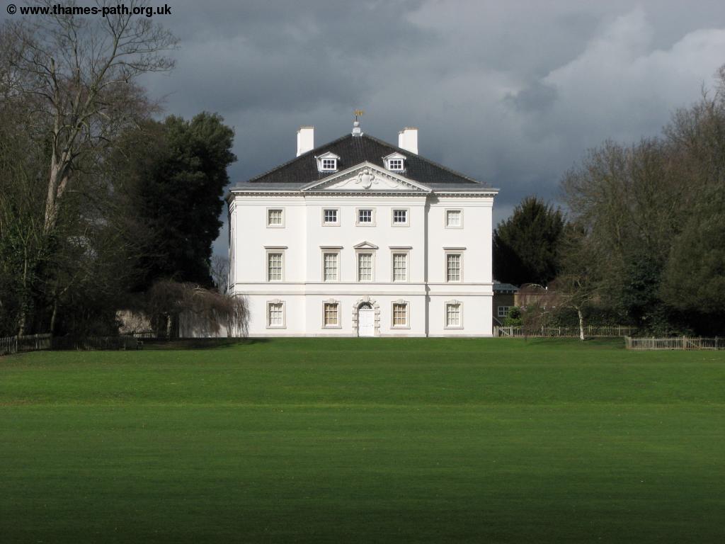 |
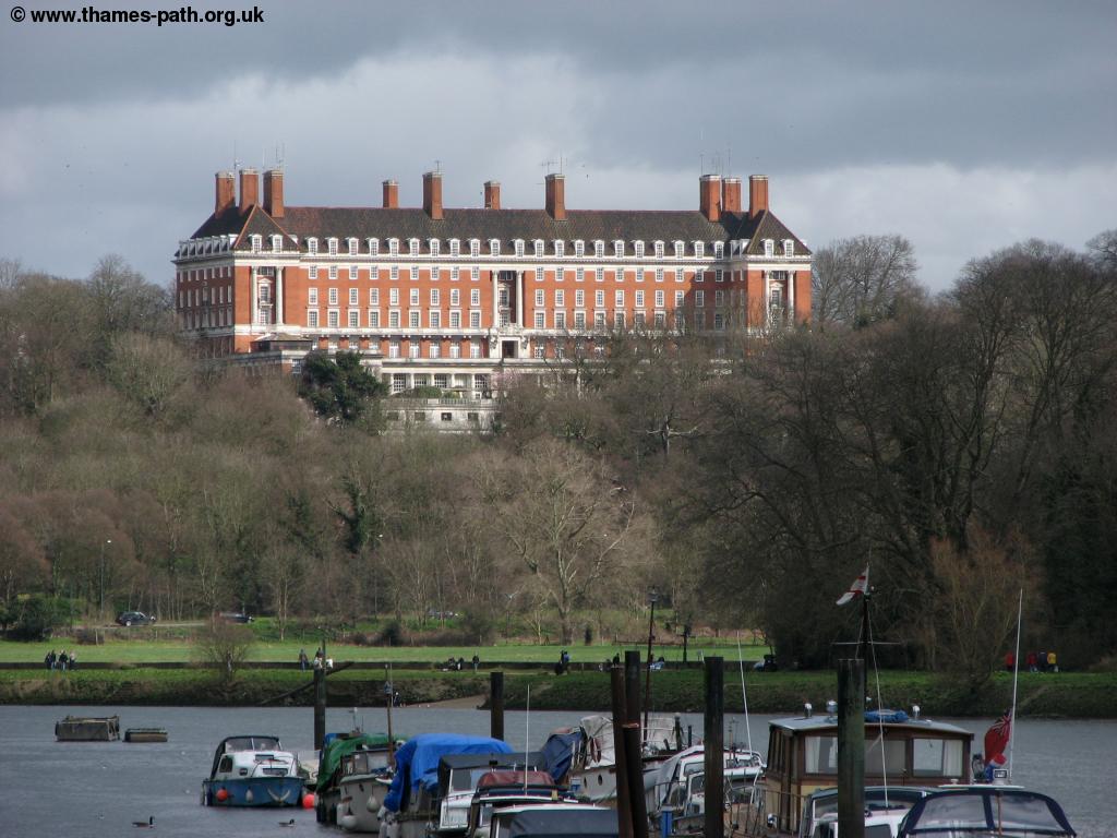 |
| Marble Hill House | Star and Garter House |
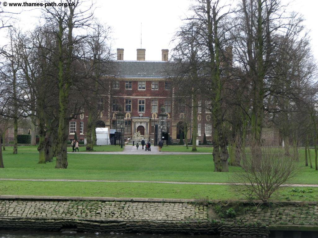 |
|
| Ham House |
The path soon joins a road, Riverside to head into the water front part of Twickenham. This is another lovely area with many attractive old cottages lining the Thames. At the end of the road turn left and then right along the Embankment. Ahead is the footbridge to Eel Pie Island. This is an interesting island that once house the famous Eel Pie Island Hotel hosting many well known bands in the 60s and 70s including The Who, Pink Floyd and The Rolling Stones. The hotel burned down in 1971. The island was also a popular day trip destination for Londoners who would come to eat Eel Pies, hence the islands name. Today it is home to a mixture of private residences and business with either end of the island a nature reserve. The bridge onto the island crosses the Thames ahead here although there is little to see on the island since all the paths lead off the main path to private residences.
 |
 |
| Twickenham | Twickenham and Eel Pie Island |
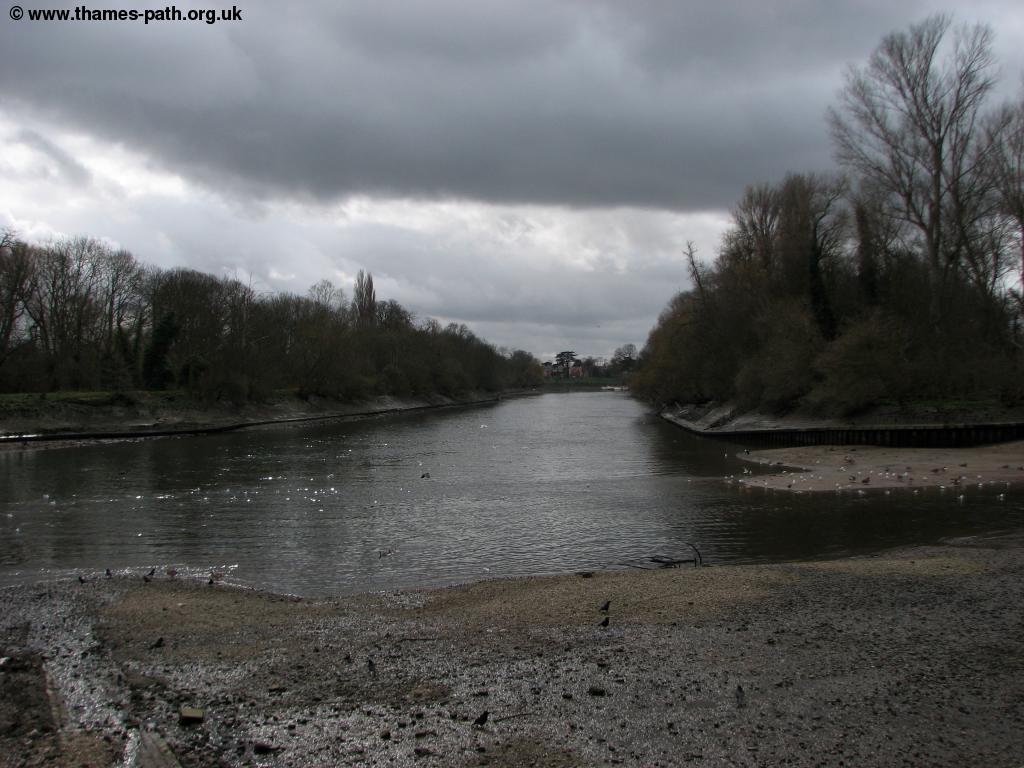
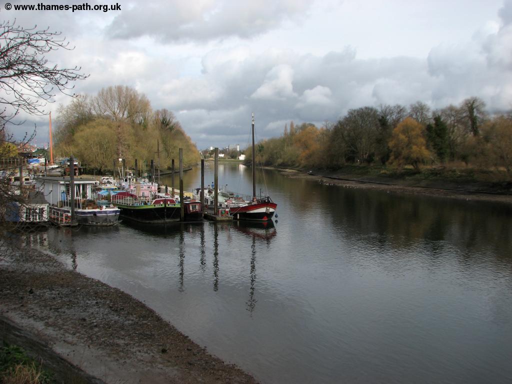
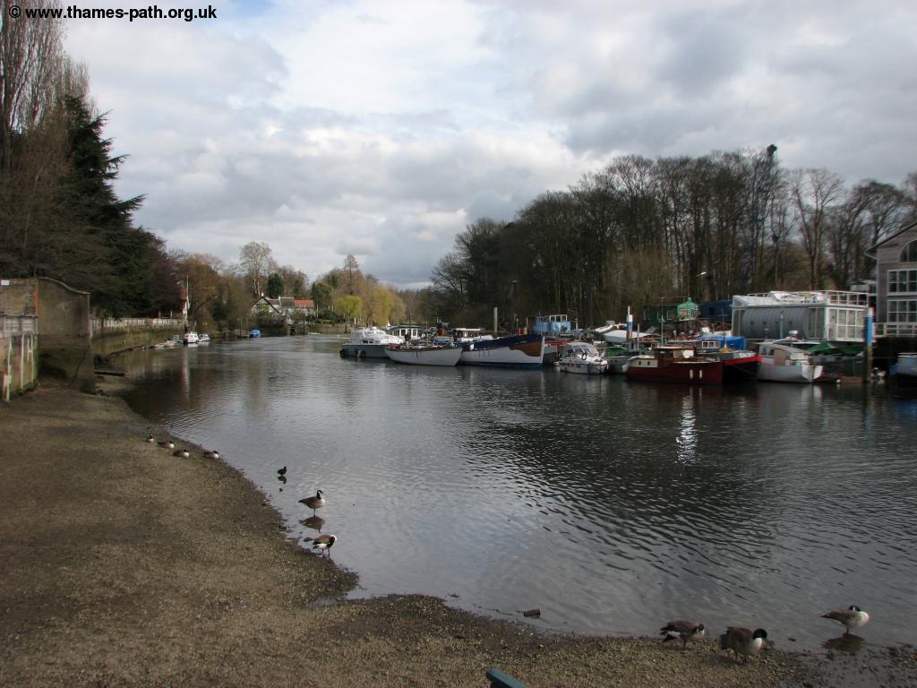
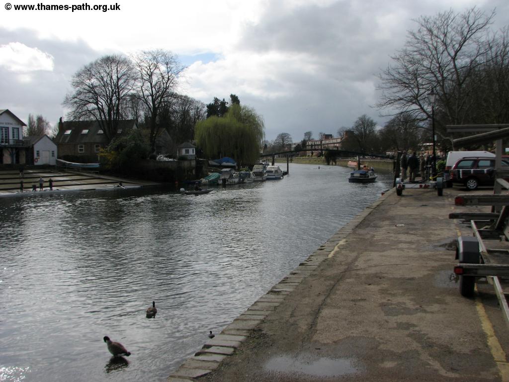
Continue along the embankment until you can go no further and turn right along Wharf Lane. At the end turn left and follow the road (A310, Cross Deep). You pass several side roads on the right but after passing Grotto Road turn left just before Pope's Grove on the right and follow the path along the river side of a small but pleasant park. At the end of the park with house boats ahead, turn right and follow the path past the toilets and back to the road. Turn left along Strawberry Vale. This residential part of London is known as Strawberry Hill after a nearby stately home. The path now follows this fairly busy road beside the large houses all the way down to Teddington Lock. The houses to the left have impressively large gardens leading down to the Thames. The road eventually becomes Manor Road and shortly after this you find a park on the left where you can at last return to the banks of the Thames for a view over Teddington Lock. Follow the river side behind a boat yard and then down to the large blue footbridge over Teddington Lock. It is possible to get onto the island in the centre of the Thames here where you have views of the impressive weir structure. This huge weir and the adjacent lock control the flow of water and mean that from here to the source of the Thames, it is no longer tidal, so Teddington is the last place on the Thames where the river is tidal.
 |
 |
| The Thames at Teddington | Teddington Lock |
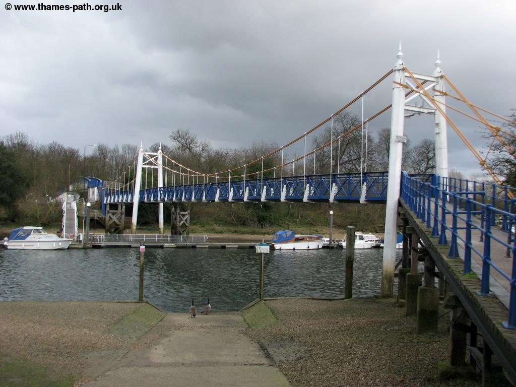 |
 |
| Teddington Lock bridge | Teddington Weir |
For Teddington railway station turn right up Ferry Road and straight on along Teddington High Street. Keep going up the hill and turn left into Station Road for the railway station. Alternatively there are buses from the end of Ferry Road to Kingston, Hounslow and Surbiton.
Getting Back
Teddington station has frequent trains to London Waterloo, Kingston, Clapham Junction, Twickenham, Richmond, Barnes, Putney, Wandsworth, Wimbledon and Shepperton amongst other destinations, all operated by South West Trains. If you are returning to Barnes there are direct trains back to Barnes station a short walk back to the Thames or from Barnes change for trains to Barnes Bridge, which run 4 times an hour Monday - Saturday and hourly on Sundays. There are local buses from the main road just up from Ferry Road to Kingston, Surbiton, Tolworth, Twickenham and Hounslow.
Links
The following web sites provide information on the area.
Every effort is made to ensure the accuracy of information on this site, but liability will not be assumed in the event of any inaccuracies. Use of the information on this site is at your own risk. If you find any errors, please use the link below. The text and photographs on this web site are all Copyright © and may not be reproduced without prior permission