Greenwich - The London Eye
Greenwich - The London Eye | |
| Upstream (North): Barnes Bridge to Embankment | North: Island Gardens to Embankment | Downstream: The Thames Barrier to Greenwich |
| Upstream (South): The London Eye to Putney | Back to Main Page |
Introduction
This walk begins from the Cutty Sark in Greenwich and heads through Deptford, Rotherhithe and Bermondsey, overshadowed by the massive towers at Canary Wharf across the river. Much of the area was formerly industrial buildings which have now been converted into flats. Soon you head under Tower Bridge, past City Hall and into the centre of London, passing the many famous sites of London, to finish at the London Eye on the South Bank.
Getting to the Start
Greenwich is well served by public transport. The nearest station to the Thames Path on the south side of the river is Cutty Sark, on the Docklands Light Railway. There are regular trains from Bank and Tower Hill to Cutty Sark. These trains also link Lewisham and Greenwich main-line stations (for South Eastern Trains) to Cutty Sark.
South Eastern Trains run regular trains from London Bridge, London Charing Cross, Waterloo East and London Cannon Street to Greenwich, taking 10-15 minutes. Greenwich station is a little over a 5 minute walk to the riverside.
Finally, River Boat services link several Central London piers with Greenwich, and is a pleasant and relaxing way to travel.
If you plan to drive to Greenwich it is on the A206, just off the A2. Be aware though that parking is a bit limited and tends to be expensive.
The Walk
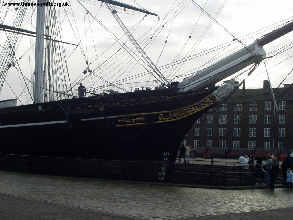
Greenwich is a world heritage site and has lots to see, including Cutty Sark, The Royal Observatory and the National Maritime Museum. It also has a University and a popular market. The Thames Path starts near the Cutty Sark.
 |
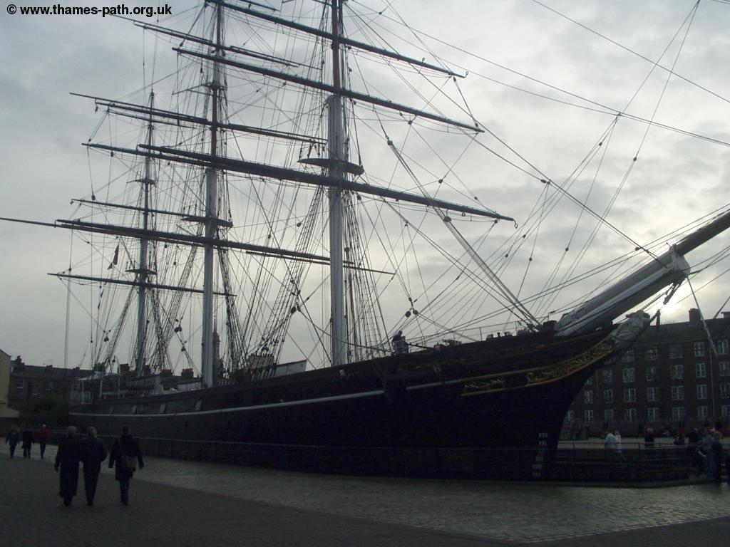 |
| Cutty Sark | Cutty Sark |
From the other side of the Cutty Sark, turn left away from the river down Greenwich Church Street. Then turn right onto the main road (Creek Road). Continue along this road over the bridge (ignoring the broken Thames Path sign pointing you right before the bridge). This part of the path is less pleasant, involving walking along residential streets for a while, away from the river. Here you could follow the official route, which twists and turns a bit through smaller residential streets, or continue for a bit on the main road, taking you into Deptford. If you follow the smaller residential streets, turn right into Stowage, turn right into Deptford Green, then left into Benbow Street, straight on into Prince Street, where you emerge onto the main road.
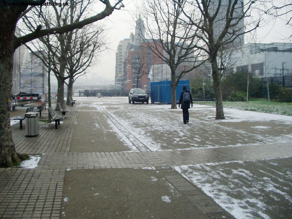
Continue on the main road and turn right into Grove Road, by where the row of shops is on the other side of the road. This road seems sadly neglected, with a lot of rubbish blowing around. Continue along this street until you come to a small park on the right, called Pepys Park, where the Thames Path is signed. Head more or less straight on through the park, down a small lane which you continue onto a small road and back to the rivers edge, emerging onto Deptford Strand. You can now continue back along the rivers edge, heading North towards South Dock and onto Greenland Dock.
 |
 |
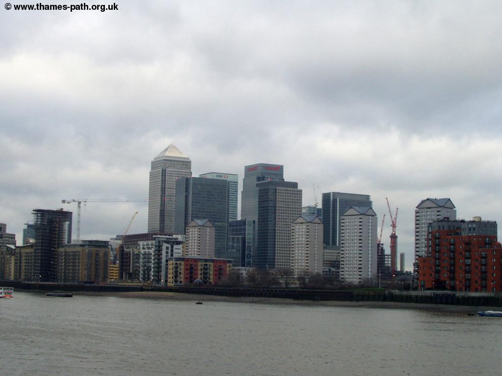
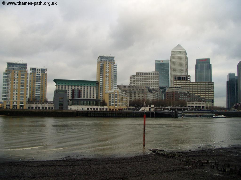
| Canary Wharf from South Dock | South Dock |
 |
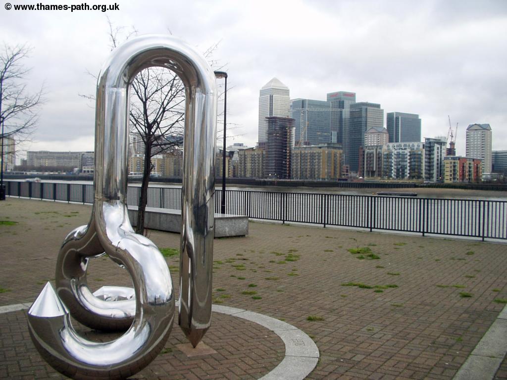 |
| Canary Wharf and South Dock | Modern art by South Dock |
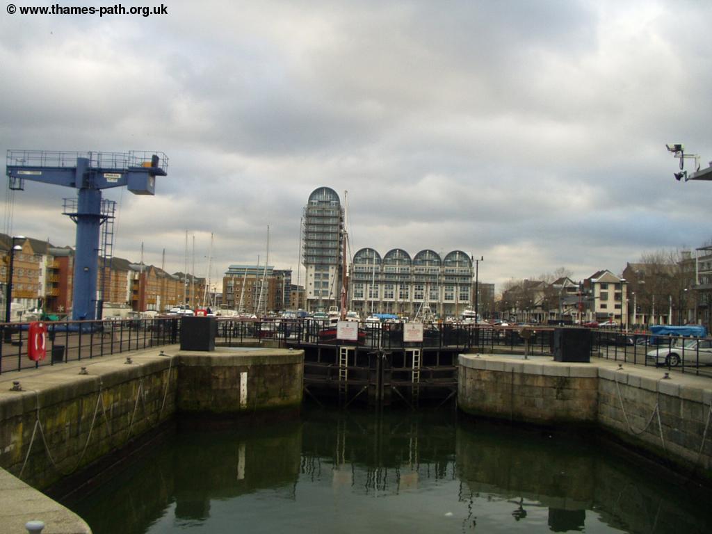
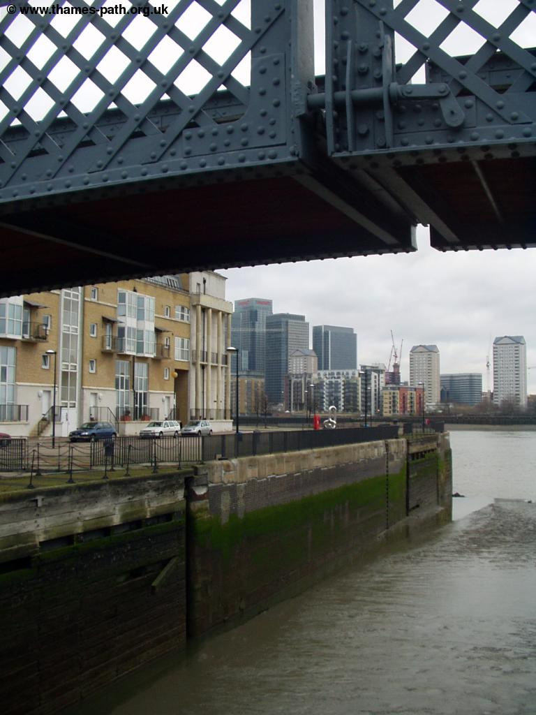
South Dock is the largest mariner in London and is an interesting area to look round. There is a riverside walking for a short distance after crossing the Dock, from where you get good views of Canary Wharf, but you then have to head away from the river again, down the narrow lane called Randall's Rents past some modern flats. Turn right into Odessa Street, and continue along the street, turning right at the end back to the river. Soon you'll come to something that is likely to be a bit of a surprise - Surrey Docks Farm. It's a strange contrast to have a farm in the shadows of Canary Wharf. The farm is small (2.2 acres), but is open to the public most days and also has a cafe. Shortly after the farm, there is a large block of modern flats, and although there is a path on the riverside, you can't get through, so there is a brief section of road walking here, along Rotherhithe Street. Soon you get to Nelson Dock, where there is the Hilton Hotel (formerly the Holiday Inn, as shown on some older maps).
 |
 |
| Nelson Dock | Canary Wharf near Nelson Dock |
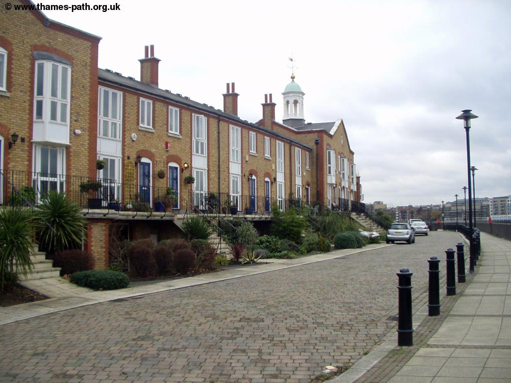
The next section is mostly river side walking, but you do occasionally have to use the road behind buildings. There are many new and expensive-looking river-side flats and houses on this part of the path.
 |
| Modern Houses on the riverside |
As you round the corner you'll see the first glimpse of the city in the distance, especially the new Swiss RE building.
 |
| The City of London comes into view |
Soon you get to a small garden with a statue of a man and child reading a comic, called Sunbeam Weekly and the Pilgrim's Pocket by Peter McLean.
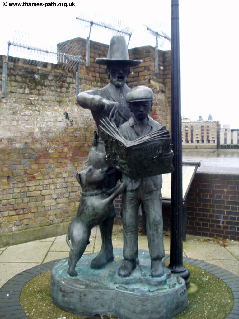 |
| Sunbeam Weekly and the Pilgrim's Pocket |
Soon you also get the first glimpse of Tower Bridge ahead, as the river straightens slightly.
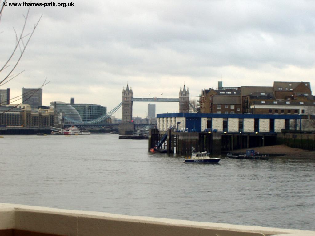 |
| First view of Tower Bridge |
Just a short distance on you come into the centre of Rotherhithe, where there is an attractive church, dating from 1747.
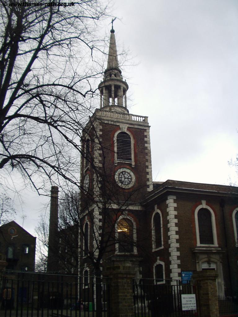 |
| The Church of St Mary's |
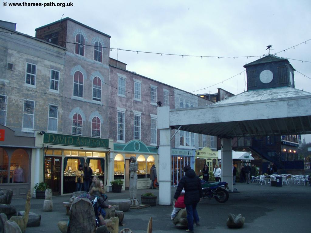
After the church, there is a brief section of walking through some narrow streets back from the river, before you return again to the river-side, where you continue for a while. Many of these large old wharfs have been converted into flats or offices, but it's surprising that less than half a mile from Tower Bridge, some of these still lie empty and derelict, although there was evidence that they were soon to be re-developed. As you approach Tower Bridge, you have to go slightly back from the river in places, but you emerge at New Concordia Wharf, where there is an impressive bridge over St Saviour's Dock to Butlers Wharf. St Saviours Dock is an attractive area, where the old buildings have been converted into flats.
 |
| St Saviour's Dock |
Once over the bridge you are into Butlers Wharf, where there are riverside restaurants and bars, and behind the river an attractive mix of shops, restaurants and flats. You now continue on this riverside footpath all the way to Tower Bridge, passing the Design Museum on the way. Here there was a glass box on the river bank with some modern art made from old polystyrene drink cups!
The Central London section is one of the most interesting when you'll see many of London's famous buildings. The first, being tower bridge, which you'll pass under to views of The Tower of London on the north bank of the river and the new City Hall on the left.
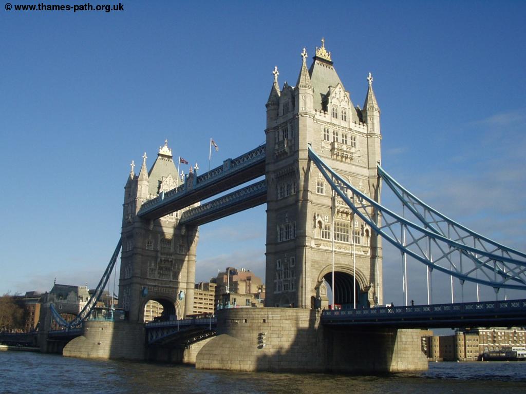 |
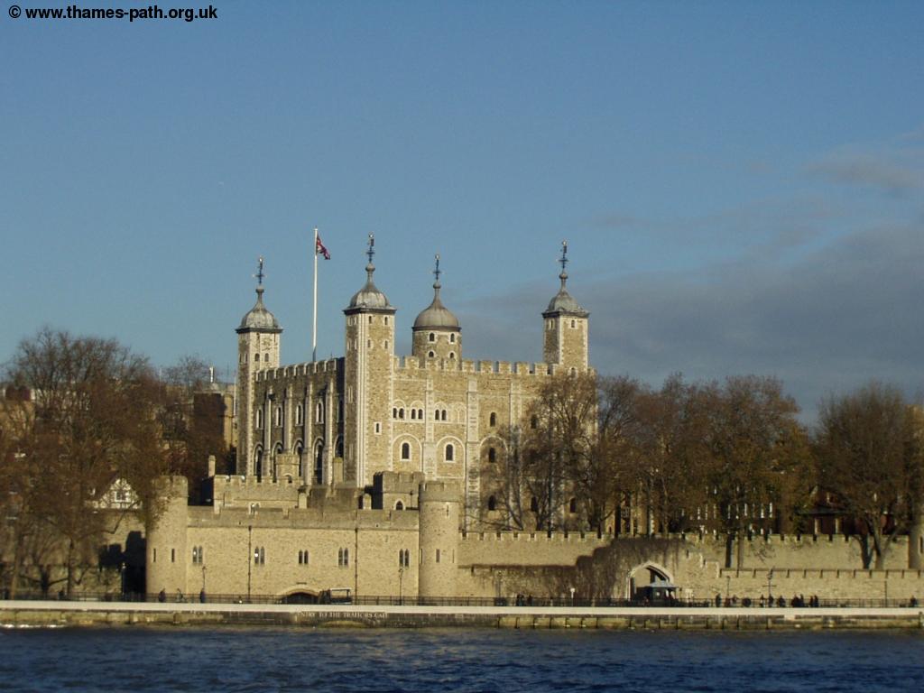 |
| Tower Bridge | The Tower of London |
You then pass the modern buildings of London Bridge City on the left and the city on the right. You pass the attractive Hays Galleria on the left, where there are several shops and restaurants and HMS Belfast moored at the side of the river. When you get to the end there are some odd shaped steps up onto London Bridge. Cross London Bridge at the pedestrian crossing then down the steps on the other side, where you continue along the path round the buildings and the edge of Borough Market and past Southwark Cathedral.
 |
| Southwark Cathedral |
Soon you pass a replica of the Golden Hinde, then under the Cannon Street rail bridge and back onto the river-side. Soon you reach Southwark Bridge, which you walk under and then come to the Globe Theatre and the Millennium Bridge, which links St Paul's Cathedral on the North side of the river to the Tate Modern on the south bank.
 |
 |
| The Globe Theatre | The same view in snow |
 |
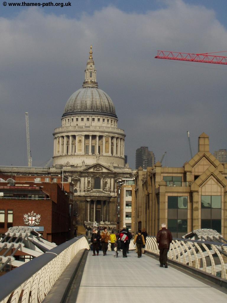 |
| The millenium bridge | St Paul's Cathedral and the Millennium Bridge |
 |
 |
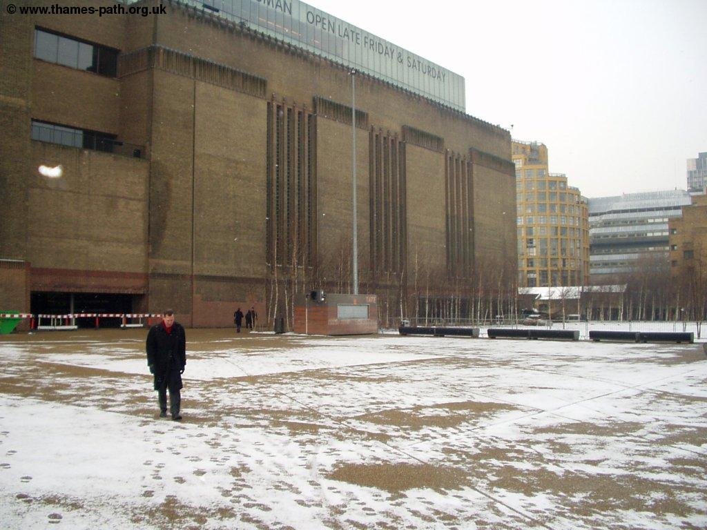
| The Tate Modern & Millennium Bridge | The Tate Modern |
 |
|
| The Tate Modern in snow |
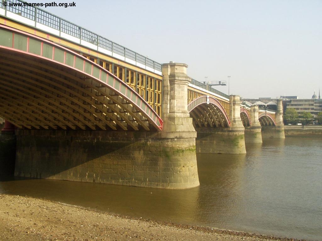
Continue along the path, passing under Blackfriars Bridge, unusual in that the road and railway bridges are separate, but piers from an old bridge are visible between the two bridges.
 |
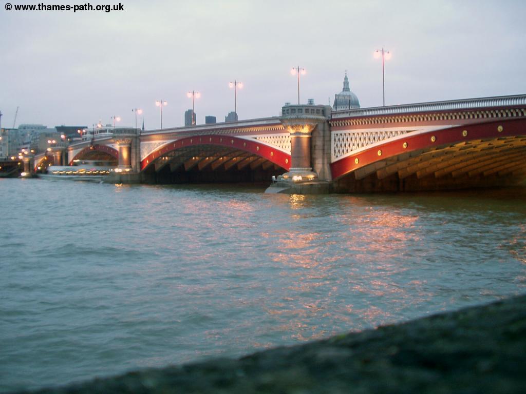 |
| Blackfriars rail bridge | Blackfriars Bridge at Dusk |
 |
|
| The OXO tower during snow |
Continuing past Blackfriars Bridge you pass the Oxo Tower, where there are more shops and restaurants and then pass the interesting development at Gabriel's Wharf.
 |
| Gabriel's Wharf |
Shortly after Gabriel's Wharf you come to Waterloo Bridge, with the National Film Theatre on the left.
 |
 |
| Waterloo Bridge | Waterloo Bridge in snow |
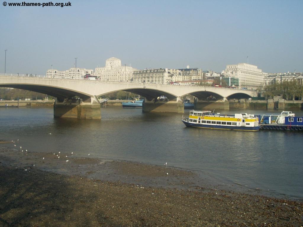
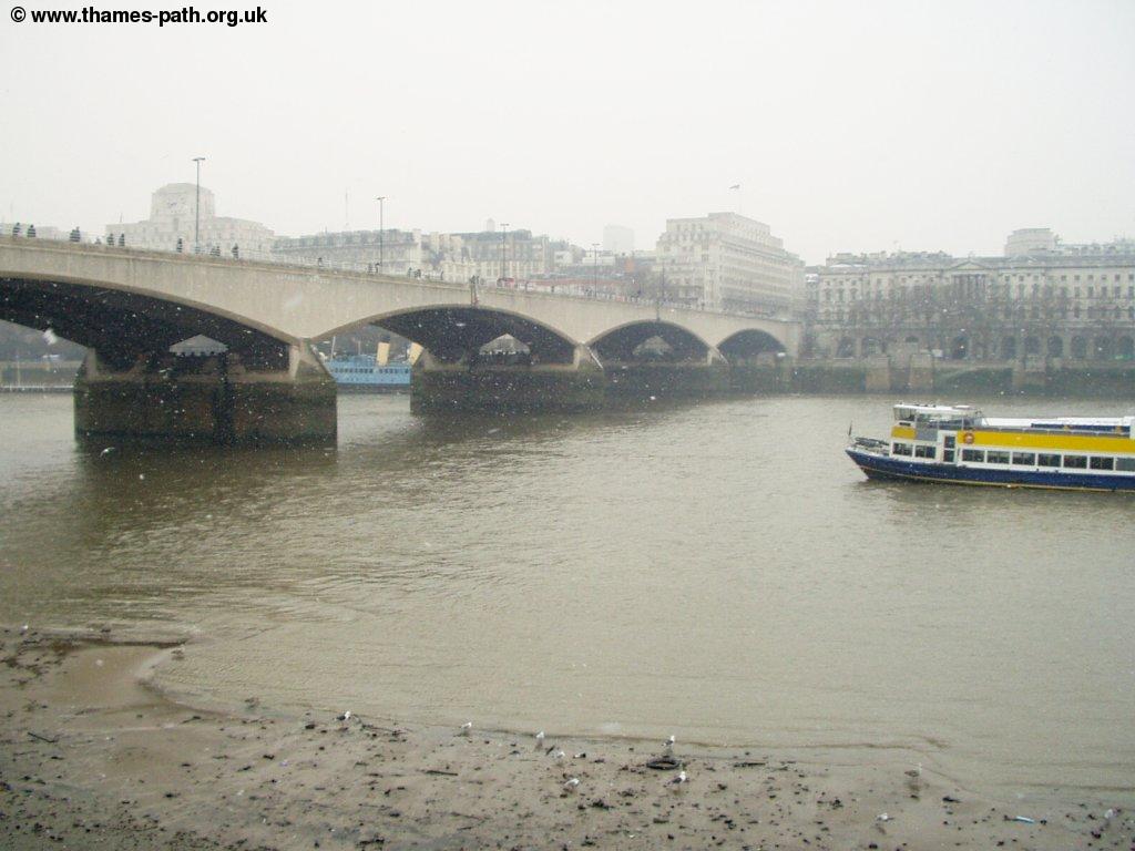
Go under the bridge, with the Royal Festival Hall on the left and continue under the Hungerford Bridge that carries the trains into Charing Cross, to end up at the Jubilee Gardens and London Eye, the end point of this walk. There are lovely views down the river to the Houses of Parliament and Big Ben.
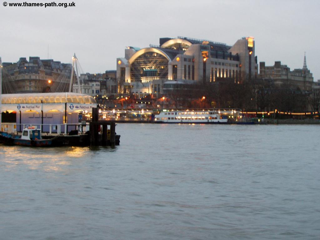 |
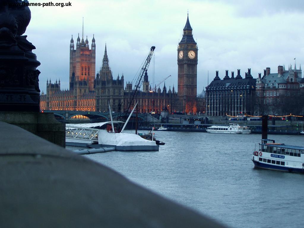 |
| Charing Cross Station at Dusk | The Houses of Parliament at Dusk |
Getting Back
If you're returning to Greenwich, the quickest way back is by train from Charing Cross, which is just over the new bridge, next to the Hungerford Rail bridge. From here there are trains every 30 minutes to Greenwich, operated by South Eastern Trains. If there is a bit of a wait for a train, consider getting on a train going to London Bridge and changing there, as you can then catch the trains from Cannon Street to Greenwich at London Bridge. Trains also run frequently from Charing Cross to South London, South East London and Kent.
You can also get boats back from Westminster Pier, which is more costly, but more scenic and a nice way to finish the walk. Across the river is Embankment Station, for Circle, District, Bakerloo and Northern Underground Lines.
Links
The following web sites provide information on the area.
Every effort is made to ensure the accuracy of information on this site, but liability will not be assumed in the event of any inaccuracies. Use of the information on this site is at your own risk. If you find any errors, please use the link below. The text and photographs on this web site are all Copyright © and may not be reproduced without prior permission