Tadpole Bridge to Lechlade

Tadpole Bridge to Lechlade | |
| Upstream: Cricklade to Lechlade | Back to Main Page | Downstream: Northmoor to Tadpole Bridge |
Introduction
Starting from the rural Tadpole Bridge the Thames is now narrowing as it twists its way through the open countryside of Oxfordshire, passing the villages of Kelmscot and Radcot on the way to the market town of Lechlade-on-Thames.
Getting to the Start
Tadpole Bridge is probably about the remotest start point of all the walks on this site. It's on Buckland Road, which can be reached by turning off the A420 near Buckland or by turning right into Buckland Road from the high street in Bampton. There is (apparently) parking available in a lay-by near to Tadpole Bridge. There is also a pub next to the bridge, although the car park is for patrons only. Failing that, you should be able to find parking in nearby Buckland Marsh. However also consider driving to Swindon and travelling by public transport to (near) Tadpole Bridge and returning from Lechlade to Swindon.
By public transport, there are no buses over Tadpole Bridge but buses do serve the A420, around 2 miles to the south or Bampton, a similar distance to the north. Stagecoach Swindon service 66 runs hourly (Monday - Saturday) and once every two hours on Sundays along the A420 between Oxford and Swindon, with a stop at Buckland Turn, around a 2 mile walk to Tadpole Bridge along the road (there isn't a pavement, although there is a verge along most of the way). An alternative is to walk from Bampton, which has buses a little less than hourly on Stagecoach Oxfordshire route 18. Be warned that buses do stop running early in the day on this route. From Bampton High Street turn right into Buckland Road until you get to Tadpole Bridge.
The Walk
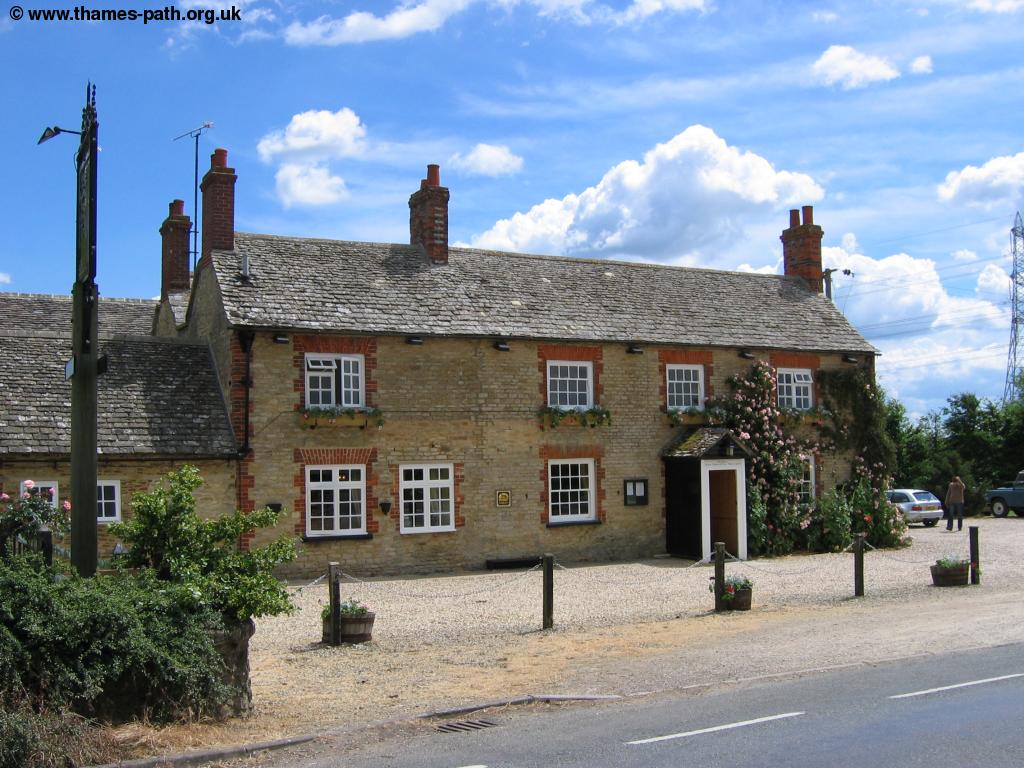
Once you've reached Tadpole Bridge you might be tempted to stop for a drink at The Trout Inn. Despite being a fairly remote section of the path, this section is still well-served by pubs! The path continues on the north bank of the river from Tadpole Bridge.
 |
 |
| The Trout Inn, Tadpole Bridge | Tadpole Bridge |
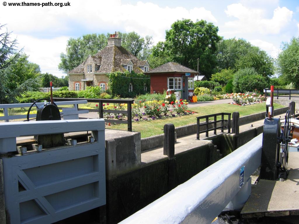
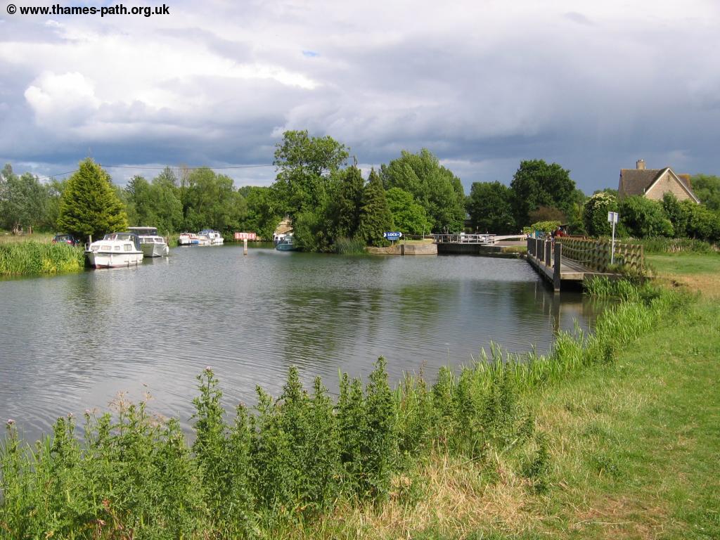
The path runs next to (and at some points) on the access road to Rushey Lock. Soon you can see the lock ahead, with it's pretty stone lock-keepers cottage and well-kept garden. All the lock keepers seems proud of their gardens, but this one is especially good with a frog shaped bush! As with all the remaining locks on the Thames, Rushey Lock is a manual lock and I helped open it to allow a boat through.
 |
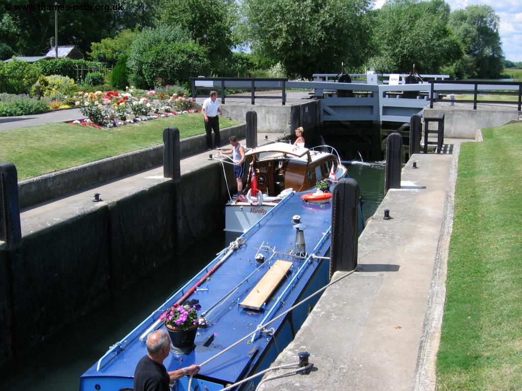 |
| Rushey Lock | Boats passing through the lock |
As Rushey Lock the path crosses the lock and weir to continue on the south bank of the river.
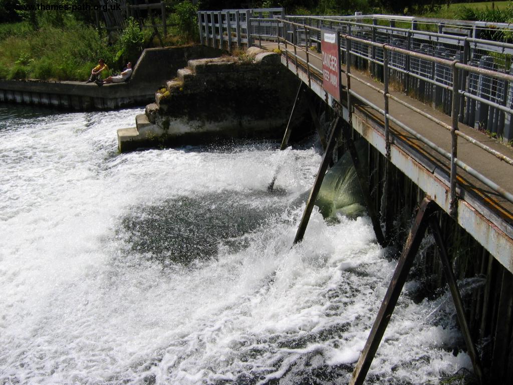 |
| The weir at Rushey Lock |
Beyond the lock the Thames becomes especially twisty, making it slow for boats to navigate.
 |
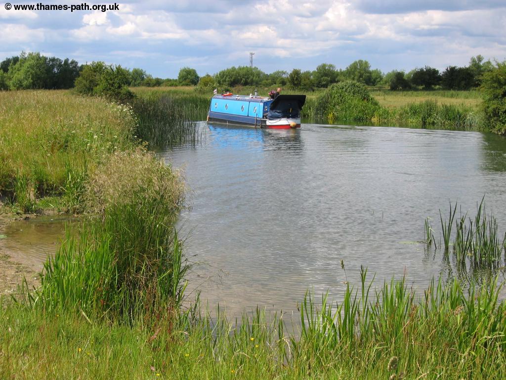 |
| Looking back to Rushey Lock | A boat navigating the Thames beyond Rushey Lock |
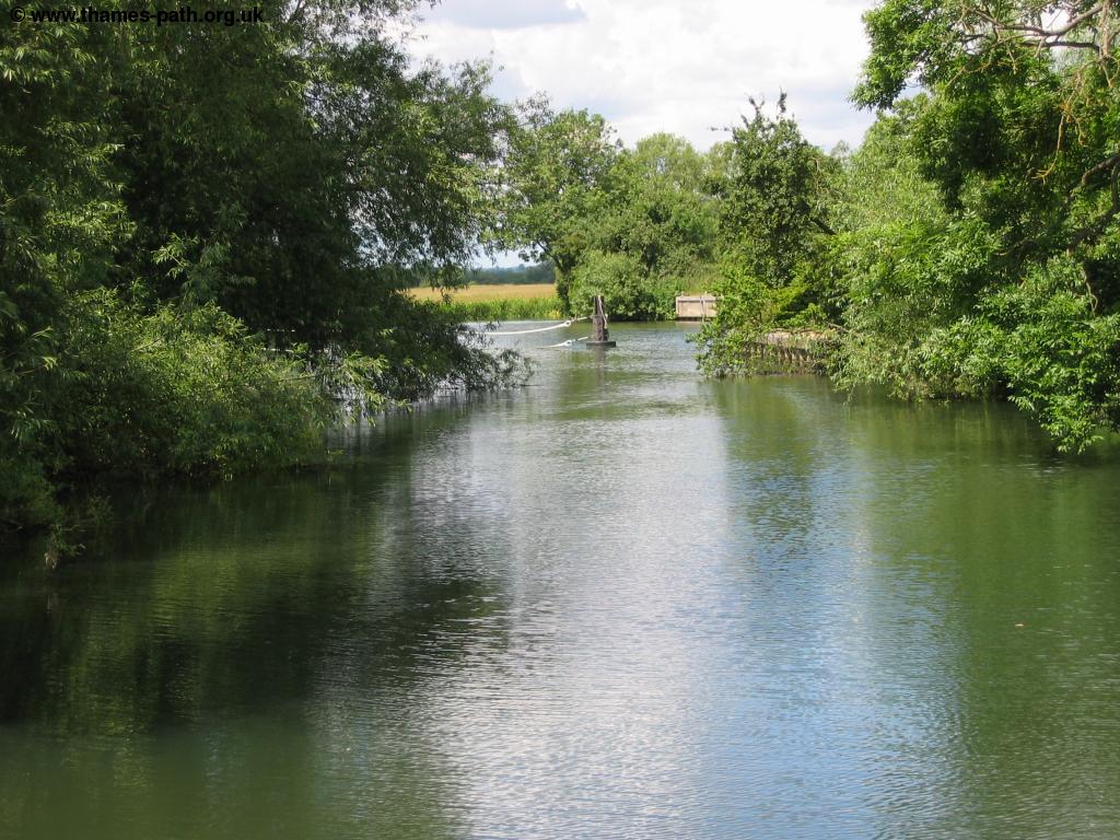
This section of the Thames is very rural with fields lining both banks for most of the way, although the long grass growing on the edge of the river can obscure the view at times in spring and summer. You can also see many old pill-boxes along this section of the Thames, often in the nearby fields.
 |
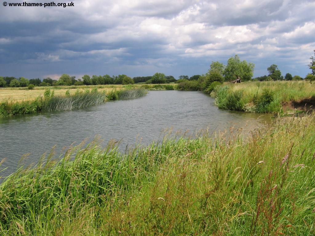 |
| A swan and signets beside the river | Clouds gather over the Thames near Rushey Lock |
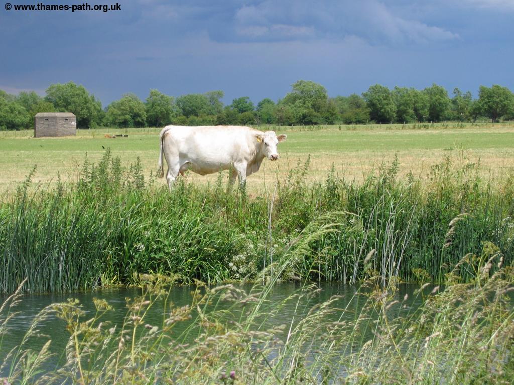 |
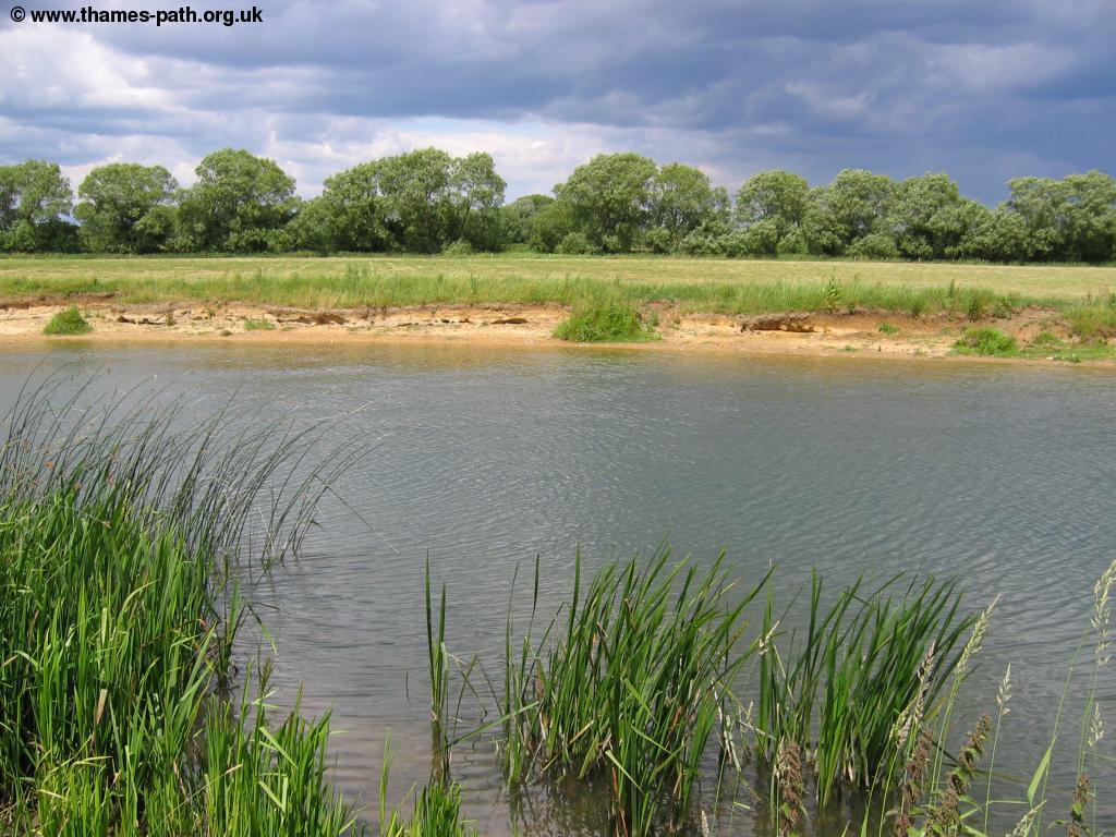 |
| A cow beside the Thames | Eroding banks of the river |
 |
|
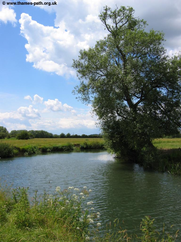
| A tree beside the river |
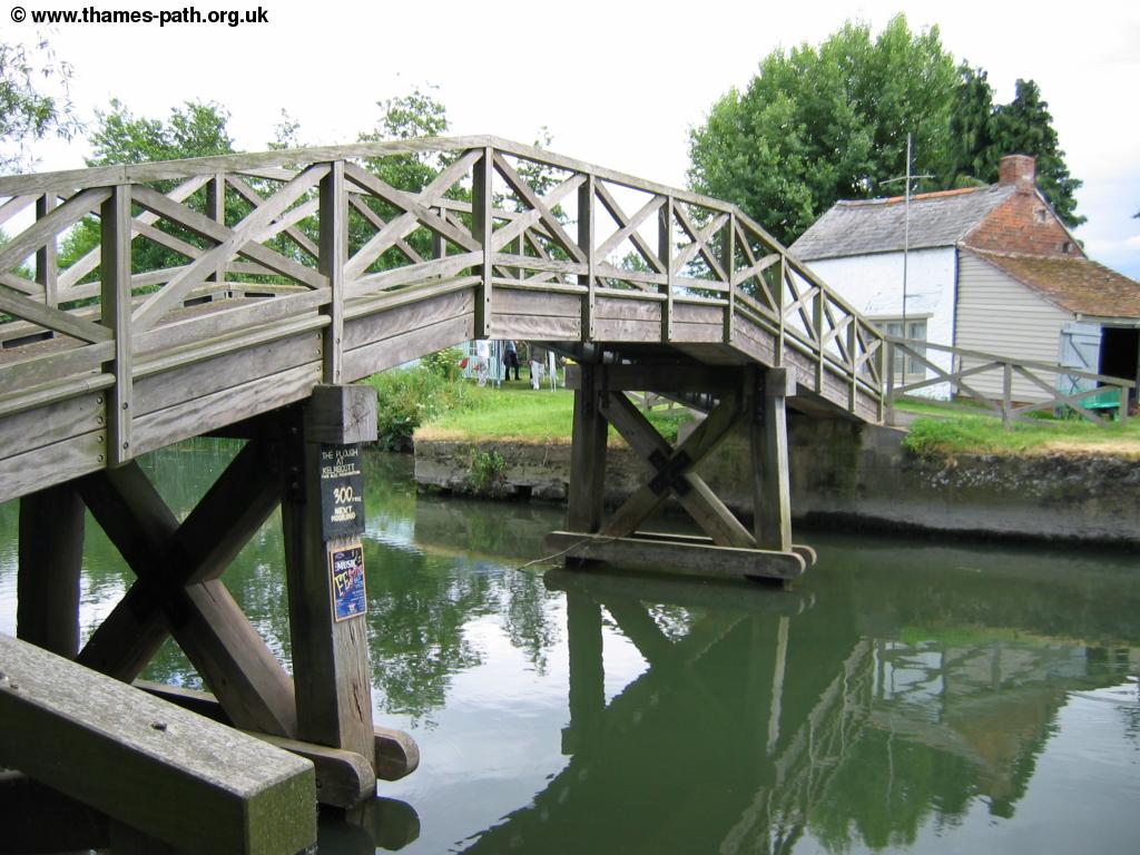
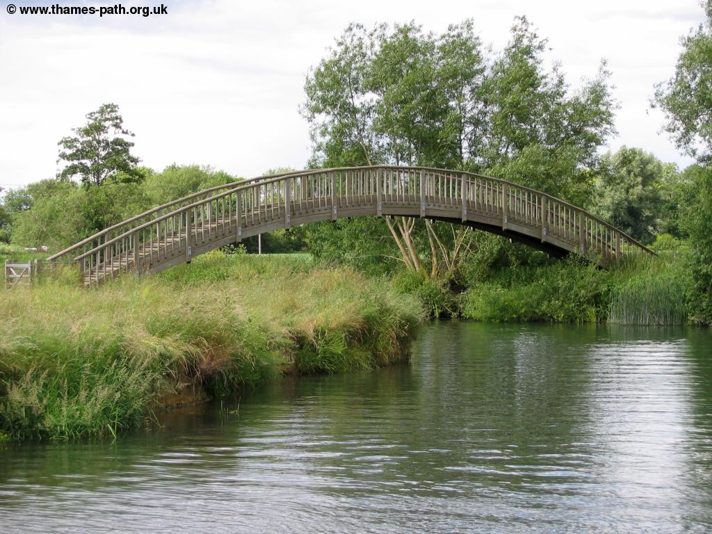
Soon you come to the pretty wooden footbridge, Old Man's Bridge which now carries a footpath, although the Thames Path does not cross it.
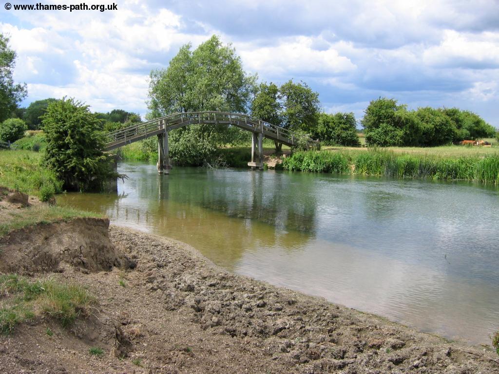 |
| Old Man's Bridge |
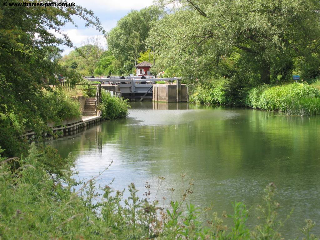
Soon after passing the footbridge you come to Radcot Lock and weir, although the path still continues on the south bank of the river. Radcot Lock, like so many on the Thames (especially the upper sections) has a well kept garden.
 |
 |
| Approaching Radcot Lock | Radcot Lock |
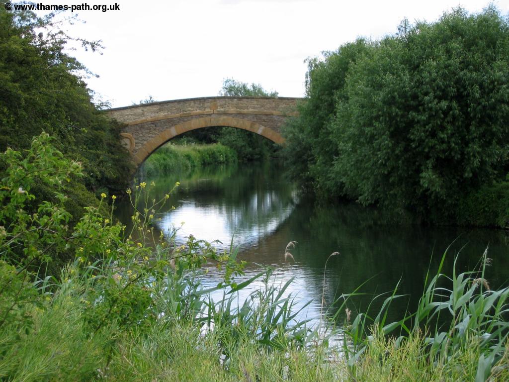
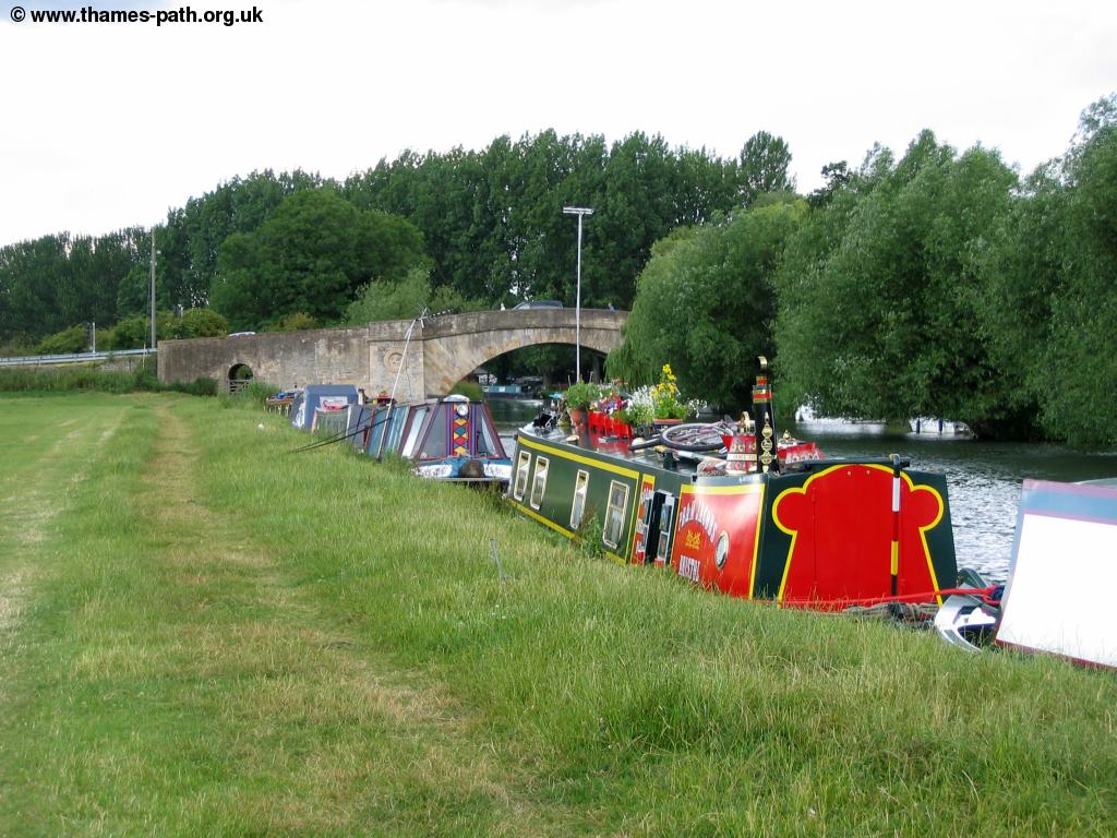
Soon after Radcot Lock you come towards Radcot bridge, first crossing a small bridge over a creek. Despite it's tiny size it's often quite busy here with the pub being a popular spot to stop for a well-earned drink and with many boats moored beside the path.
 |
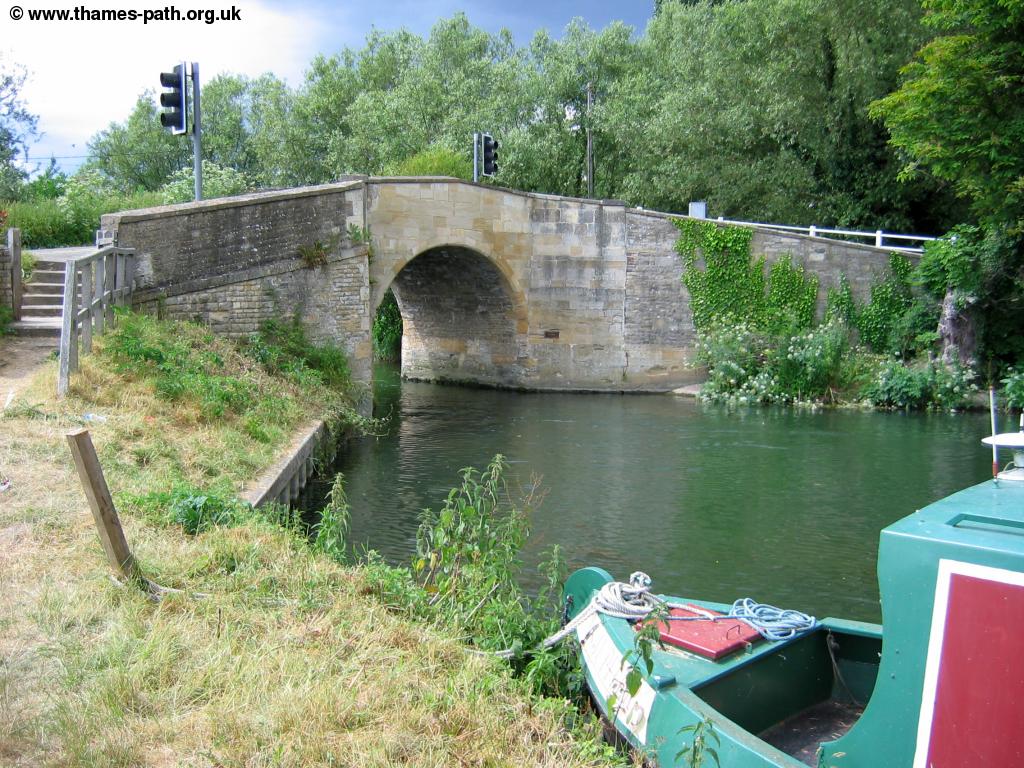 |
| The pub at Radcot | Radcot Bridge |
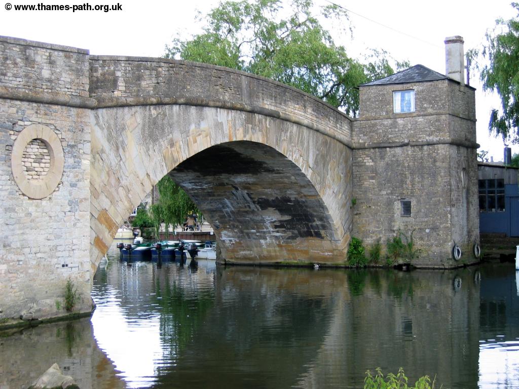
At Radcot the path crosses the bridge to continue on the North bank of the river. Like many of the Thames bridges, Radcot Bridge is a narrow single-track road controlled by traffic lights. The Thames is a little straighter after Radcot but soon turns to the right then as it turns round to the left you come to the next lock, Grafton Lock, a quite remote lock, again with a weir.
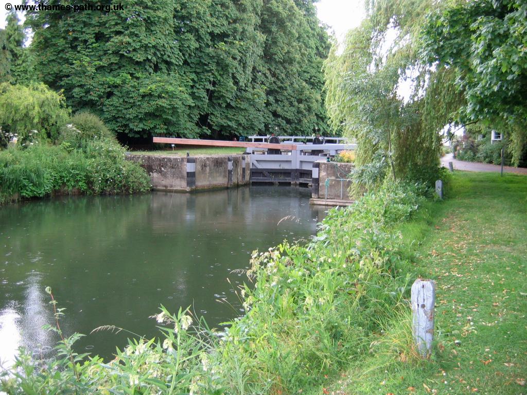 |
| Grafton Lock |
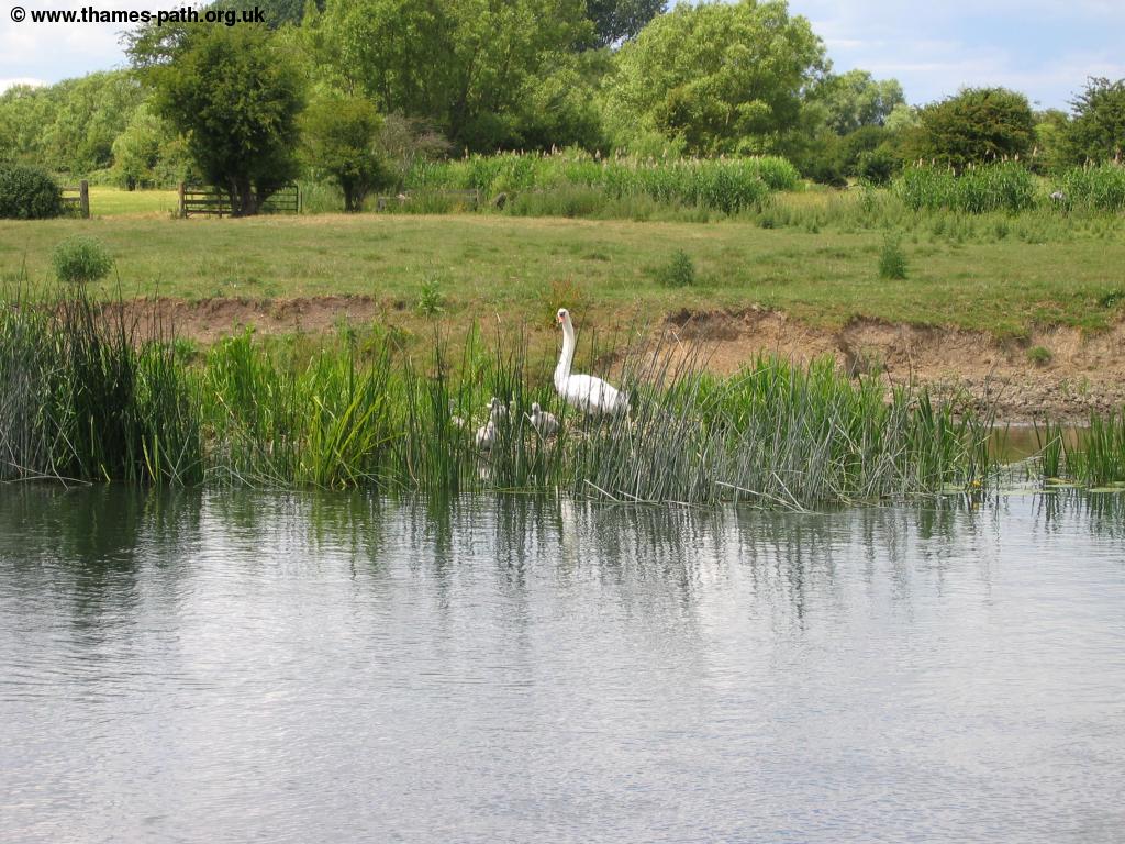
Beyond the lock the Thames is once again passing through meadows. This peaceful part of the path is a haven for wildlife too.
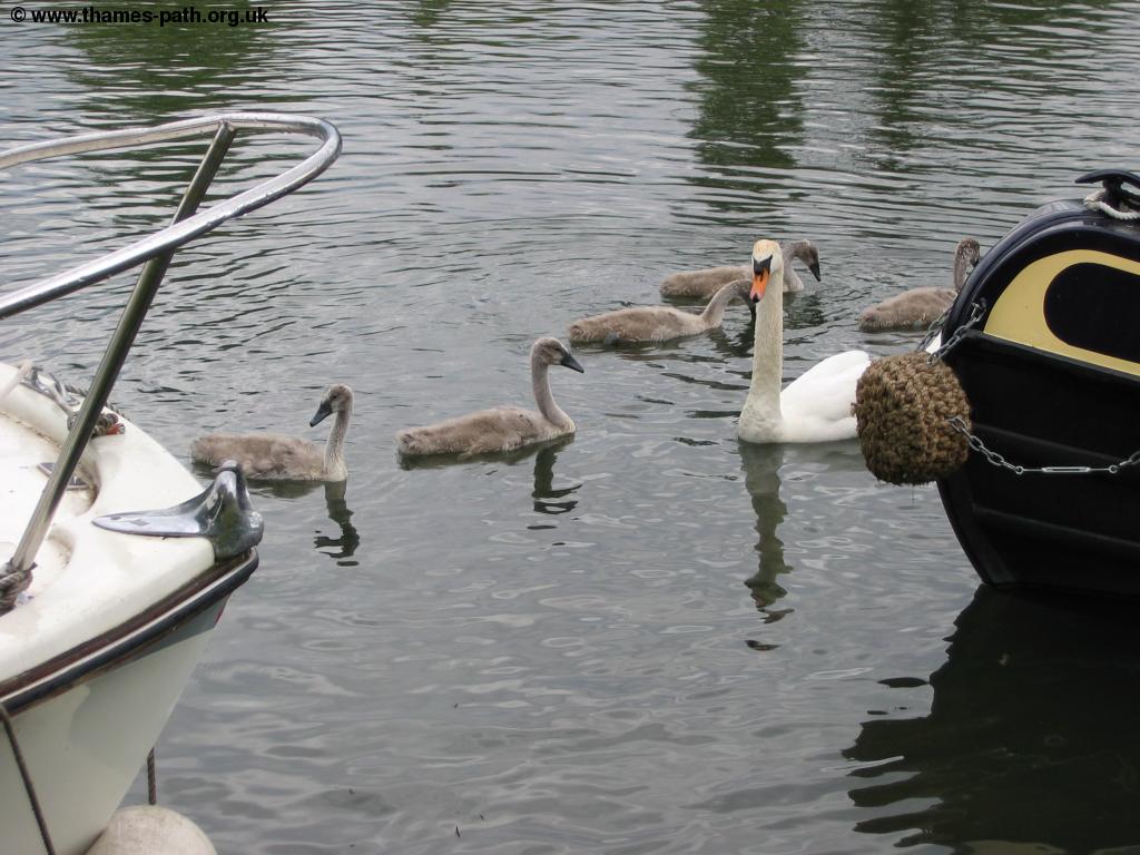 |
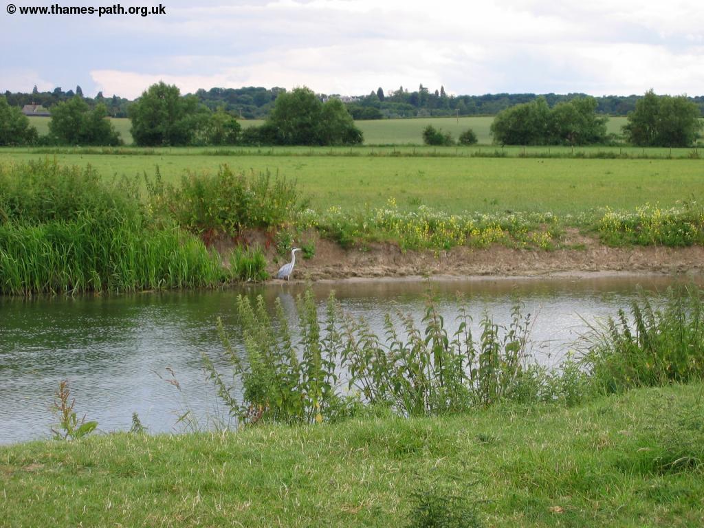 |
| A swan and signets | A heron beside the river |
In a little over a mile from Grafton Lock the path comes to the outskirts of the village of Kelmscott. Beside the river is Kelmscott Manor which is open to the public, although currently only on Wednesdays'. The village itself is also worth a quick diversion and has a pub.
 |
| The river at Kelmscot |
Beyond Kelmscott you come to the site of an old weir where there is now a single cottage and a footbridge.
 |
| A bridge near Kelmscott |
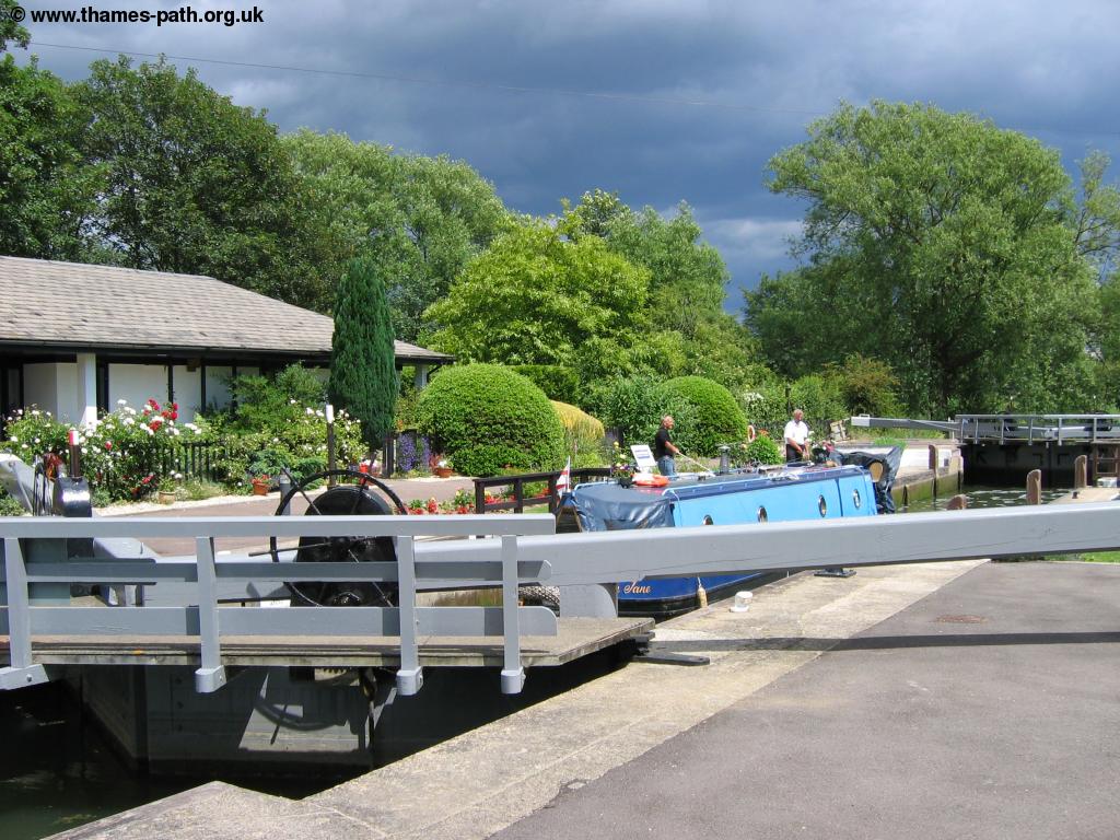
The river ahead twists and turns again, passing next to the village of Buscot and soon coming to Buscot Lock. As before the lock has a lovely garden and lock keepers cottage, though this lock has an unusually large central island.
 |
| Buscot Lock |
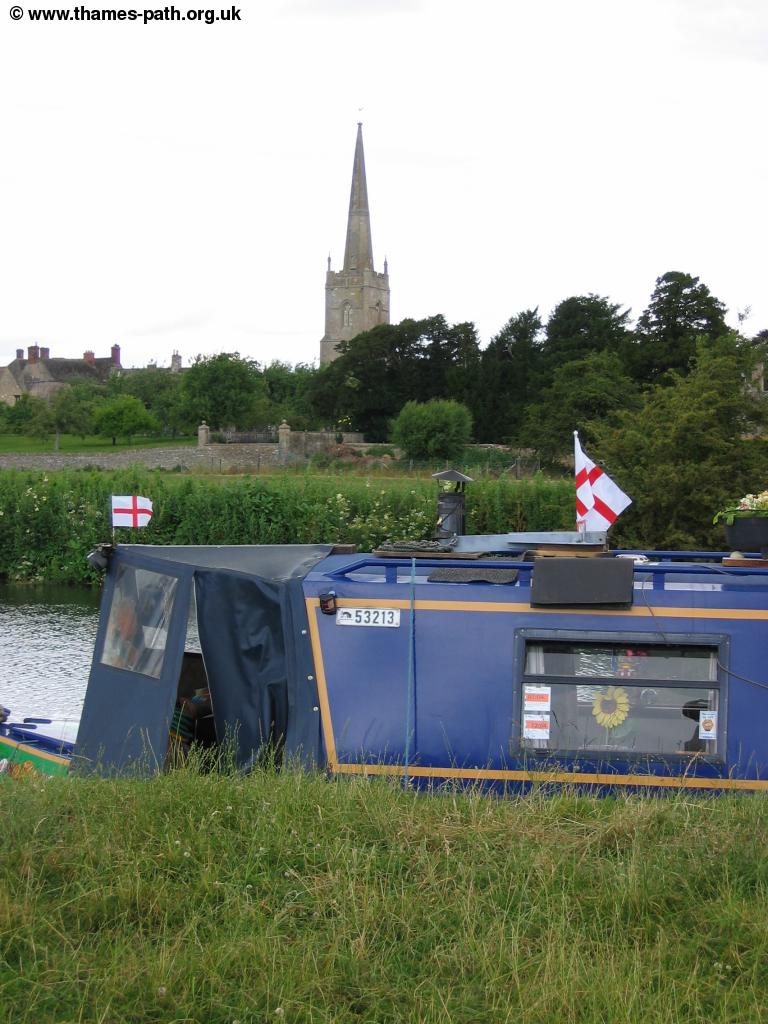
As you pass the large lock you'll see the church tower beside the lock on the opposite bank of the Thames.
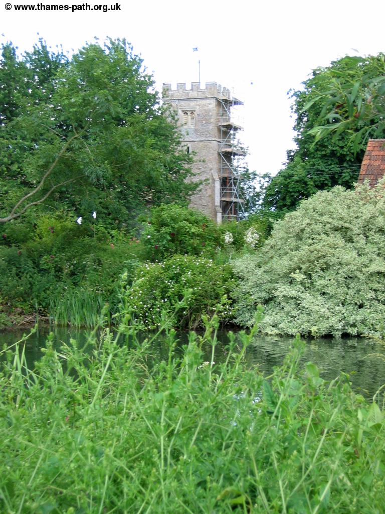 |
| Buscot Church |
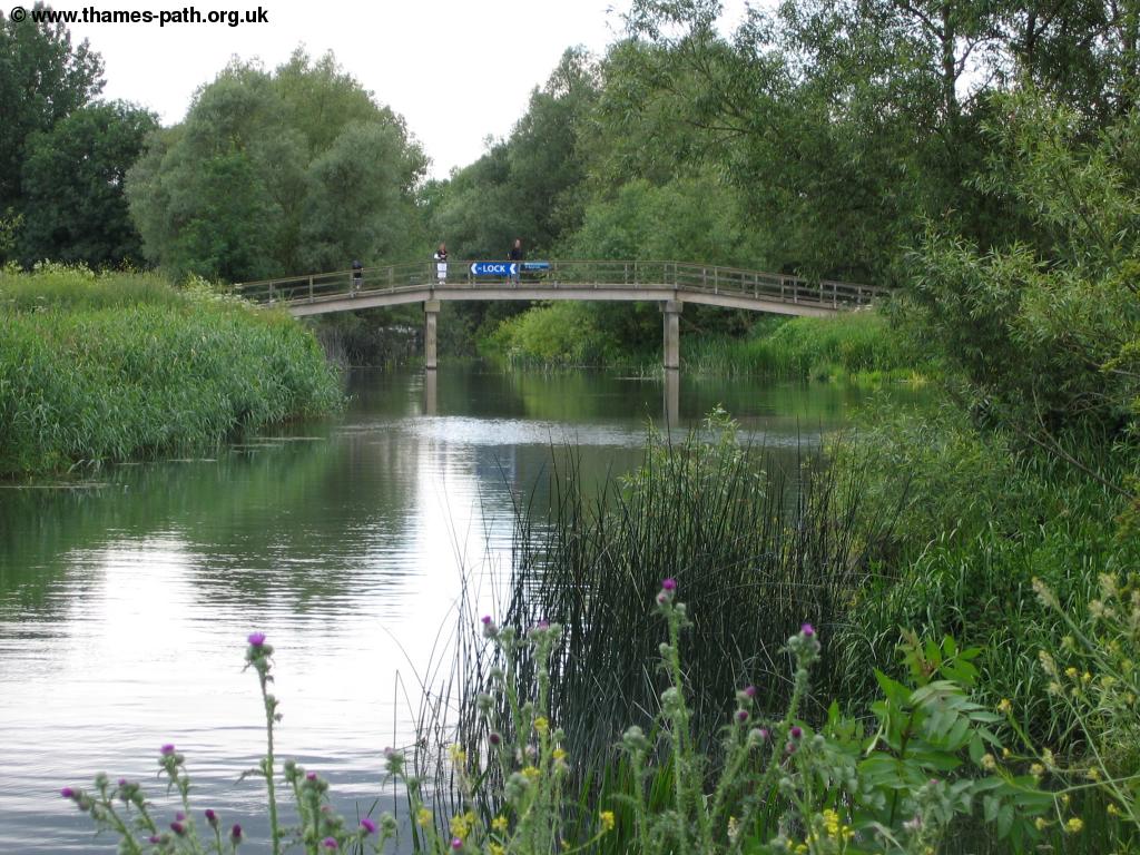
After passing Buscot church the river almost doubles back on itself in a tight loop close to the road before heading back. You can see the church tower in Lechlade to the left along parts of the path here. Soon you come to a wooden footbridge. Here you have a choice of routes, the official route turns off here to rejoin the road to St John's Bridge although you can continue beside the river to the bridge which seems the more logical route.
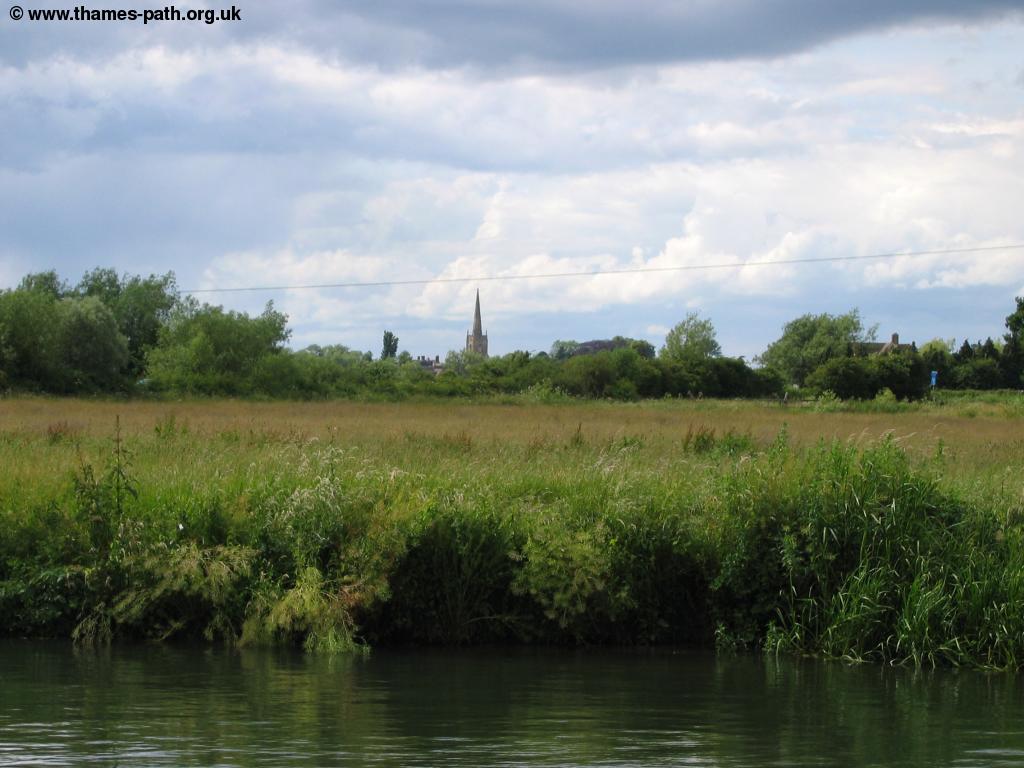 |
 |
| The church in Lechlade across the fields | The wooden footbridge |
Just after the wooden footbridge you come to St John's Bridge, not one of the prettiest bridges and this one being brick built.
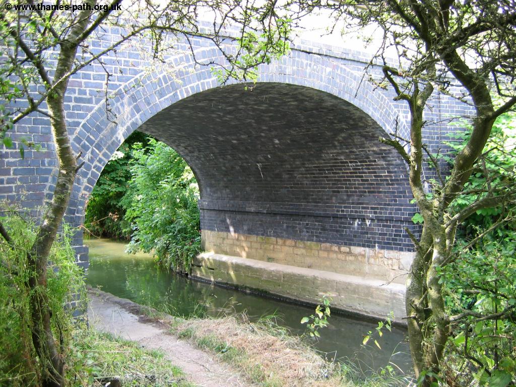 |
| St John's Bridge |
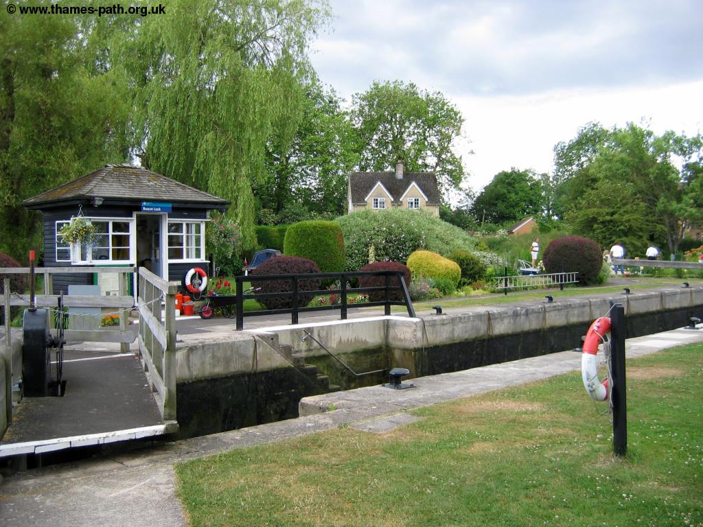
Almost immediately under the bridge you get to St John's Lock, this time with a quite large lock keepers cottage and some stone statues.
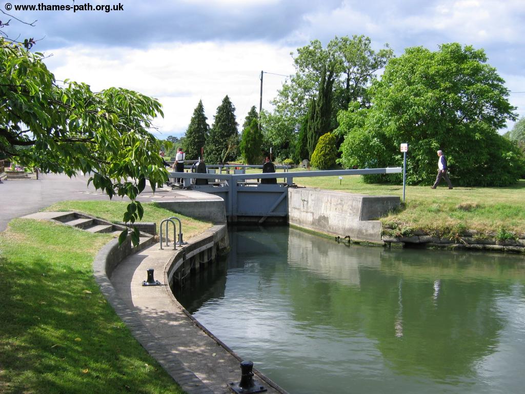 |
 |
| St John's Lock | Looking back to St John's Lock |
Beyond St John's Lock the path passes through meadows on the edge of Lechlade with more World War II pill boxes. The church tower of St Lawrence Church in Lechlade can now clearly be seen.
 |
| St Lawrence Church, Lechlade |
Soon you can see Ha'penny Bridge ahead which marks the edge of Lechlade which can be reached by following the road north from the bridge.
 |
 |
| Ha'penny Bridge, Lechlade | Ha'penny Bridge, Lechlade |
 |
|
| View from Ha'penny Bridge, Lechlade |
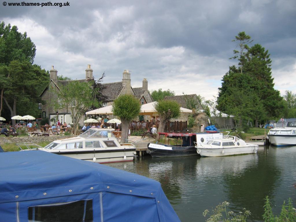
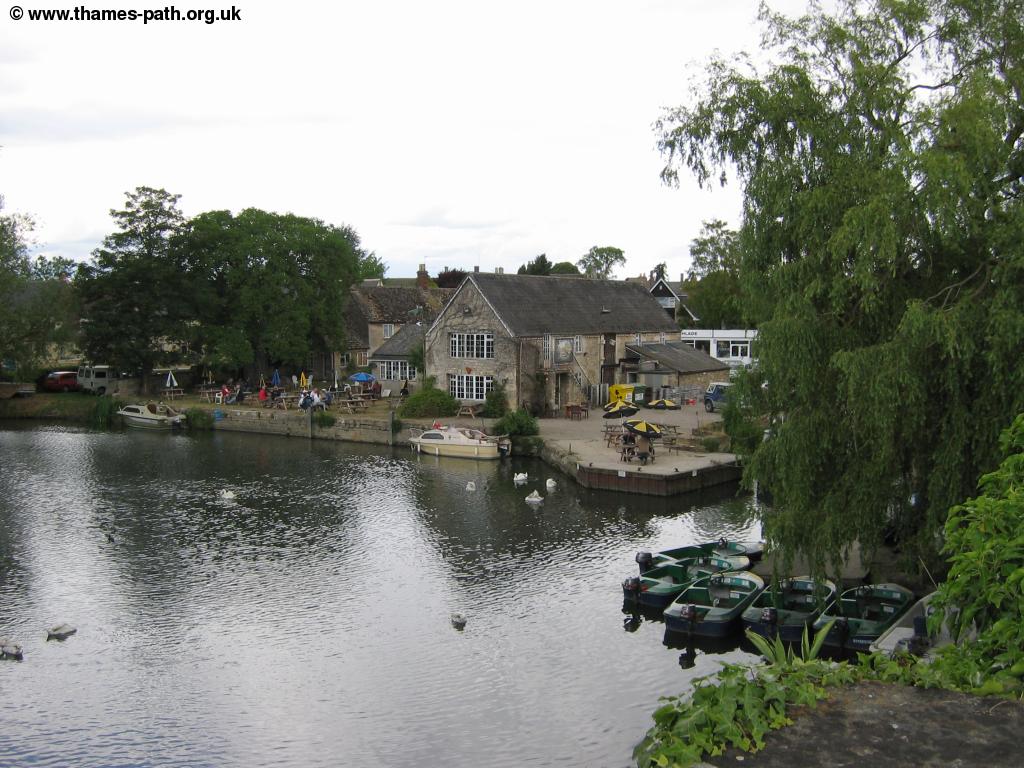
Lechlade is a pretty Cotswold town and worth spending some time looking around. It has lovely stone buildings throughout the town centre and a pretty market square.
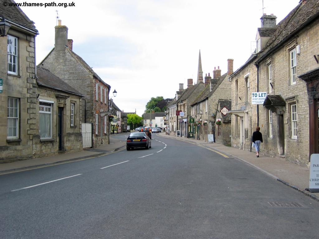 |
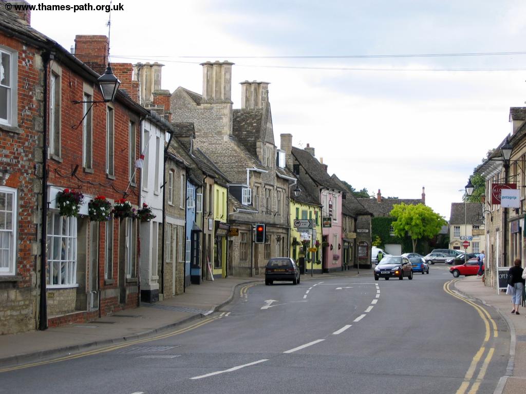 |
| Lechlade | Lechlade |
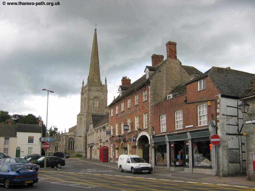 |
|
| Lechlade |
Getting Back
Stagecoach Swindon services 64 and 74 provide a broadly hourly bus service from Lechlade (Market Square, by the New Inn Hotel) to Swindon (Bus Station), although there isn't a service on Sunday and the last bus leaves quite early. This bus also goes to Fairford in the opposite direction. Swindon Bus station is a short walk to Swindon Railway station for fast and frequent trains to Didcot, Reading, London, Bath, Bristol and South Wales. If you're returning to Tadpole Bridge Stagecoach Swindon bus 66 runs from Swindon along the road past Buckland, around a 2 mile walk from Tadpole Bridge.
Beaumont Travel service 77 also runs from Lechlade to Fairford, and Cirencester.
Links
The following web sites provide information on the area.
Every effort is made to ensure the accuracy of information on this site, but liability will not be assumed in the event of any inaccuracies. Use of the information on this site is at your own risk. If you find any errors, please use the link below. The text and photographs on this web site are all Copyright © and may not be reproduced without prior permission