The Thames Barrier - Crayford
The Thames Barrier - Crayford | |
| Upstream: The Thames Barrier to Greenwich | Back to Main Page | Downstream: Back to Main page |
Introduction
This walk follows the Thames Path extension east. Although not officially a part of the Thames Path National Trail it is an obvious extension of the route. The walk follows the south bank of the river from the Thames flood barrier at Woolwich east past the famous Woolwich Arsenal and the Firepower museum. Continuing east you pass the apartments of Thamesmead. East from here the river passes through a far more industrial landscape and the path passes right through the middle of it. You emerge into Erith and onwards through the marshes of Crayford to end at Crayford Ness.
Getting to the start
The walk begins from Charlton Station. It is recommended to reach the start of the walk by public transport but if you do choose to drive to reach Charlton take the A2 from the M25 junction 2. Continue forward onto the A102 towards the Blackwall tunnel. At the exit for the A206 for Charlton take the A206 east. The road soon widens to a dual carriageway and you take the exit just after this point left onto Anchor and Hope Lane. At the end of the road go straight on (still Anchor and Hope Lane), signed as for local traffic. At the time of writing there are parking bays which are free of charge along this road.
If you are coming by public transport take the train to Charlton. There are frequent trains (around every 15 minutes) from London Bridge station via Greenwich and Woolwich. The trains start from either London Charing Cross or London Cannon Street although all pass through London Bridge. The trains also server Dartford and the Medway towns. All trains to Chartlon are operated by South Eastern Trains. The station is in Travelcard zone 3.
The Walk
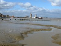
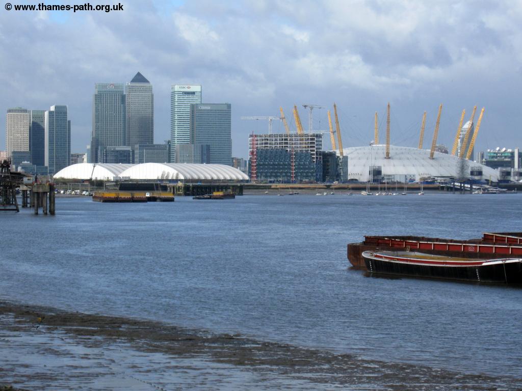
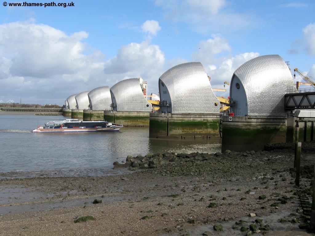
This walk follows an extension to the Thames Path National Trail from the flood barrier at Woolwich to Erith. From here the walk joins the Green Chain Walk to end at Lesnes Abbey in Abbey Wood. Charlton is perhaps best known for it's football team, Charlton Athletic whose ground is close by. From the railway station take the exit from the kent-bound platform under the canopy and down to the main road ahead. Cross the busy main road via the pedestrian crossing and then go straight on down Anchor and Hope Lane, also a dual carriageway. At the roundabout you need to go straight on, but it is best to turn left, cross via the pedestrian crossing and then turn right and back to the roundabout than attempt to cross the road at the roundabout. Once over keep going north past a large Sainsburys depot and then down to the Anchor and Hope pub after which this road is named. Soon you reach the Thames Path national trail where you turn right along a footpath heading east towards the flood barrier. This impressive structure with it's shiny metal covers protects London from storm surges and high tides from the sea. It is typically used only a few times a year.
 |
 |
| The Thames barrier at Woolwich | Docklands from Woolwich |
 |
|
| The Thames barrier at Woolwich |
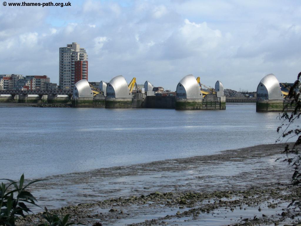
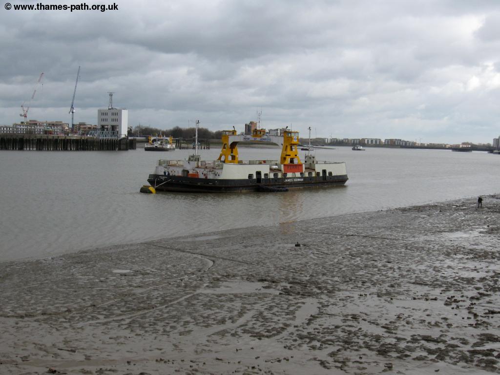
Keep to the path beside the river until you come right up to the barrier. Here it appears as if the path goes to the right but in fact you turn left down a few steps and then take the subway right under part of the control building for the barrier. This subway shows the full length of the Thames Path National Trail and show how the rivers height changes along it's course and also lists the main towns and locks along the river. On emerging from the tunnel you are in a little park on the other side of the barrier. Here the path briefly leaves the river so turn south along the signed path (also for the Green Chain walk). Cross the track and keep going on the footpath signed to the south past a car park on the right. Keep to this path all the way until you meet the A206, the busy main road in the area. Turn left and follow the pavement beside the road. You pass a parade of shops and come to a roundabout. Here you take the second exit left into Ruston Road. Follow this road and take the left fork on the road (still Ruston Road) into a housing estate. At the end of the road turn left into Harlinger Street and at the end of the road turn right. At the end turn right again and then left as soon as you can to reach the banks of the Thames once more. From here to Erith the path is very very easy to follow since it follows without interruption the banks of the Thames all the way to Erith. You continue past the modern flats to the road leading to the Woolwich Ferry. Once east of Tower Bridge crossing of the Thames are far fewer in number. Here is the only vehicle ferry over the Thames and it makes regular crossings to North Woolwich on the other side of the river.
 |
 |
| The Woolwich ferry | The Woolwich tunnel |
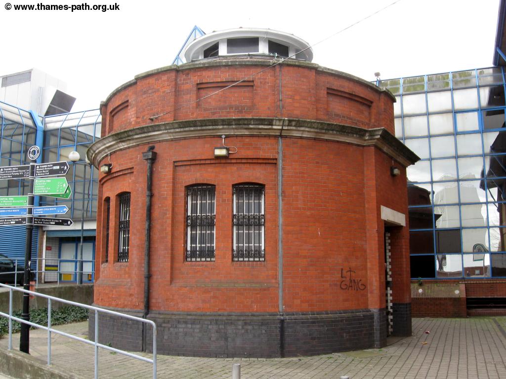
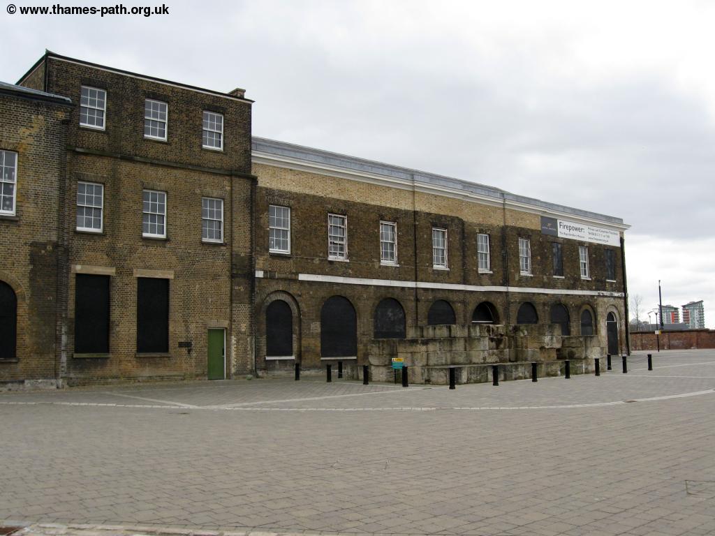
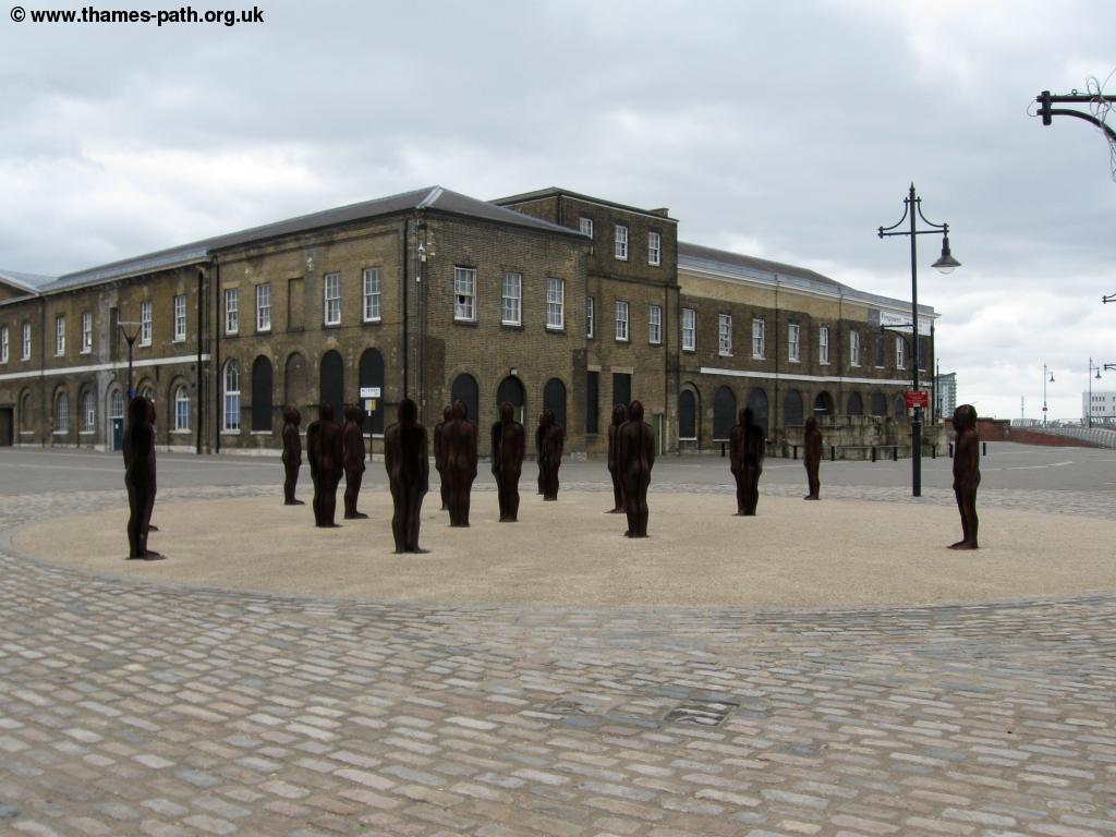
Cross the road with care and go straight on along the path through the hospital into Glass Yard where you turn left to rejoin the river. Turn right with the river to your left. You pass the 80s built leisure centre and then the entrance to the Woolwich Foot tunnel. This foot tunnel opened in 1912 and connects the south bank to the north. The tunnel is accessed via stairs or a lift in this attractive brick building. Continue past this tunnel and round a little creek. Return to the banks of the river keep going east past the car park for the leisure centre on the right. You pass an old jetty on the left and now enter the historic Woolwich Arsenal. This huge complex carried out arms building and research for the army from 1695 through to 1967. It now contains the Firepower museum and many of the rest of the attractive buildings have been converted for residential use. It is an interesting and historic area and there are information signs along the river path here.
 |
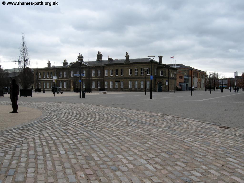 |
| Woolwich Royal Arsenal | Woolwich Royal Arsenal |
 |
 |
| Woolwich Royal Arsenal | Modern flats at Woolwich Royal Arsenal |
Keep going beside the river past the various attractive buildings and on to where some more modern flats have been built. This still claim to the be the Royal Arsenal Woolwich but in comparison to the old buildings they are rather ugly. Keep going past the numerous modern blocks of flats and around another little creek. You pass broadwater on the right and soon enter Thamesmead. This is a very large housing estate built over a number of years from the 1960s to the present day. The water front is mostly dominated by the larger blocks whilst further back are smaller buildings. This large estate continues to expand, but in comparison to the rest of the Thames water front in London homes here are still relatively affordable, as the area has poor public transport links for access to central London with the nearest station, Abbey Wood being a couple of miles away.
 |
 |
| The Thames at Thamesmead | The Thames at Thamesmead |
 |
|
| The Thames at Thamesmead |
After a while you come a slightly older part of the estate where the path becomes a bit more rural, becoming a gravel path rather than tarmac and a thin strip of trees on either side. Keep going until the houses end and you have some scrub land on the right. It seems likely this will be developed at some point in the future to expand Thames mead. Crossings in this part of London are limited and there were plans to build a new bridge over the Thames here (the Thames Gateway bridge), but these appear to have been shelved now. Continue to the point of Tripcoick Ness where there is a red navigation light.
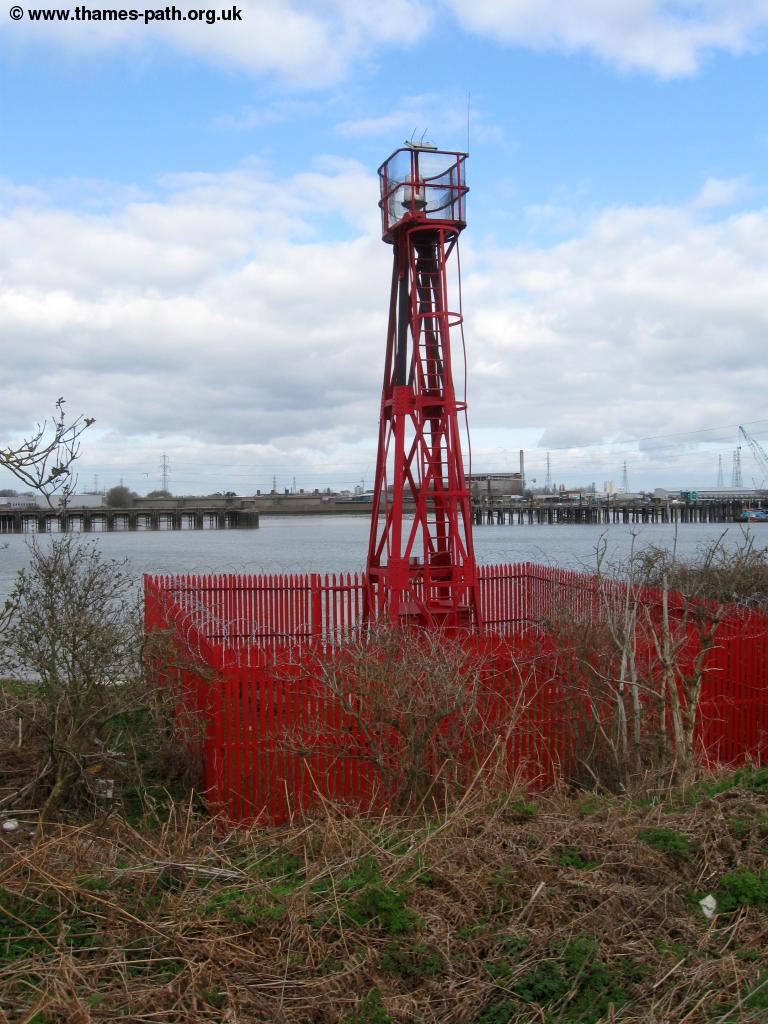 |
 |
| Tripcock Ness | The Thames at Thamesmead |
 |
 |
| The Thames at Thamesmead | The Thames at Thamesmead |
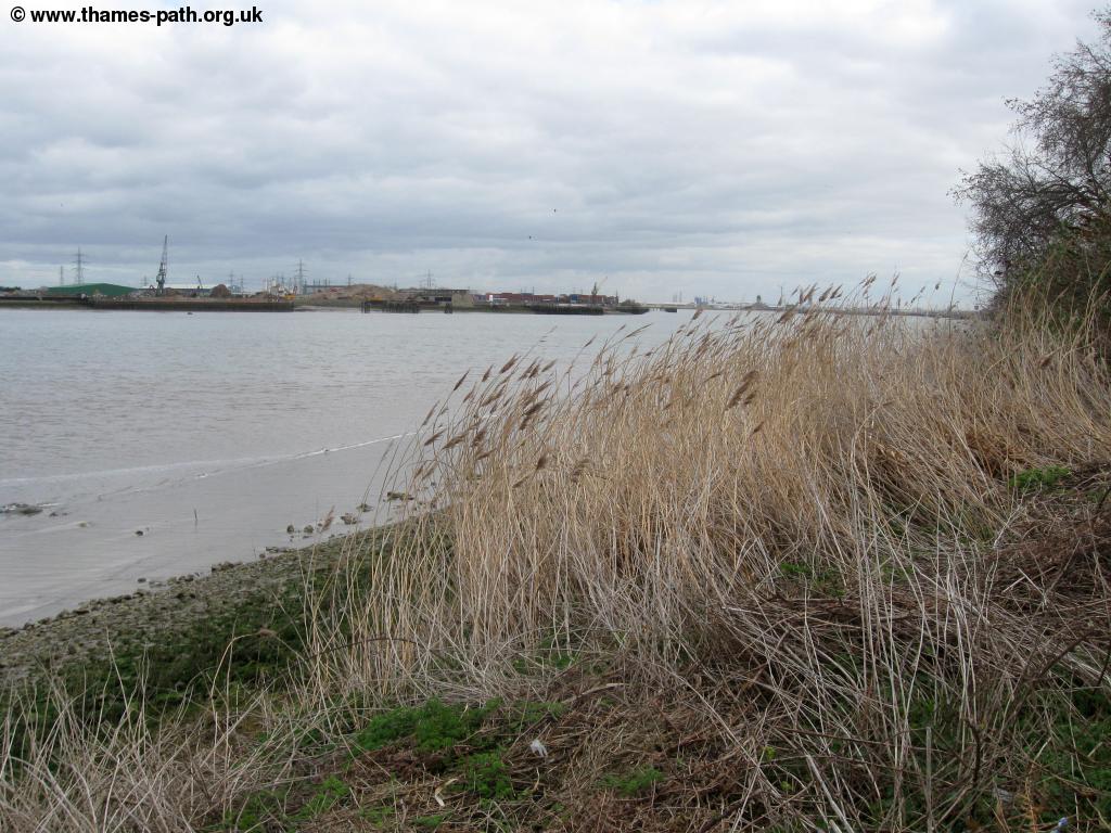
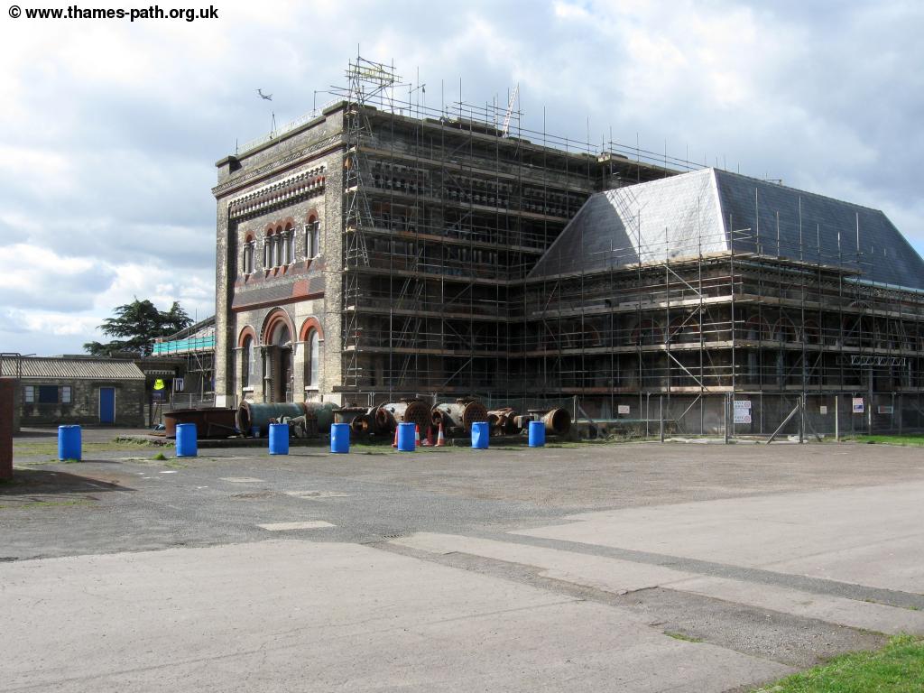
Keep tot he path to the right here as soon the houses of Thamesmead continue to the right. Keep going east past more parts of Thamesmead where in places you have a choice of an upper or lower path. Soon the houses end and you continue past a driving range and golf course to the right. The path ahead now enters a large area of industry that continues most of the way into Erith. Firstly we come to the old Crossness Pumping station. This was built as part of the development of London's sewer systems and operated from 1865 until the 1950s. The engines used to pump sewage directly into the Thames at high tide, the idea being the tide would then carry the sewage out to sea as the river level reduced in the city centre. The huge steam-powered beam engines within the house have since been restored by a trust and are sometimes operated and open to the public. This is still the sight of an active sewage works, as the information signs tell you and your nose will also tell you!
 |
| Crossness |
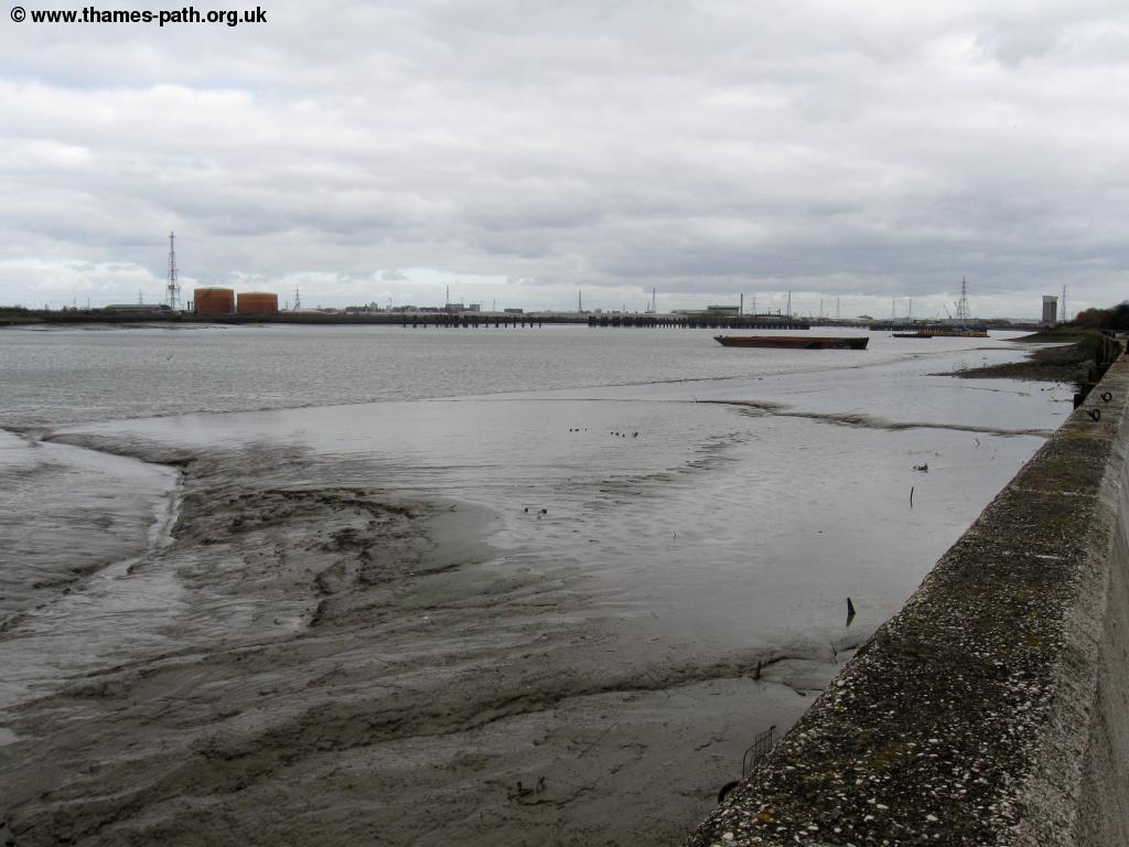
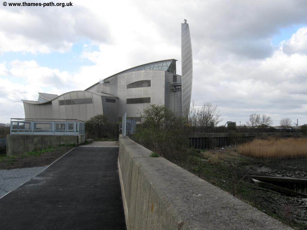
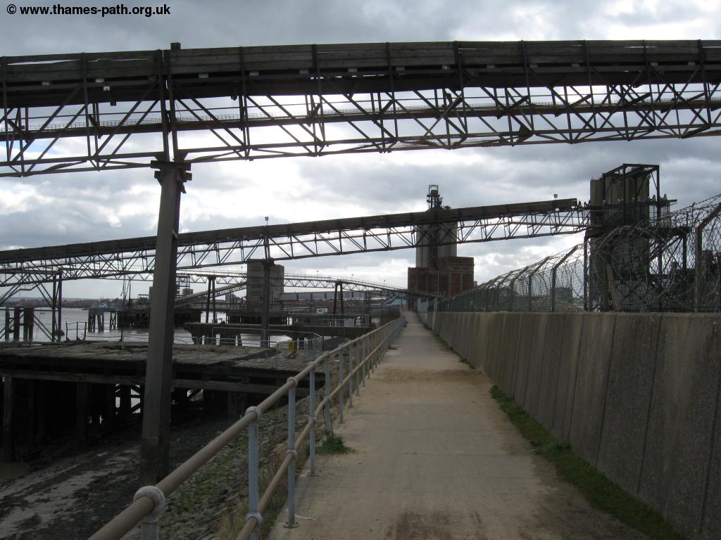
You pass the modern day sewage works. Beyond the sewage works you come to a very modern and unusual building which is the Crossness sludge incinerator, a more modern way of dealing with the sewage. East of there you now enter a very industrial landscape. If walking here on a weekday when the industry is operating it is likely to be very noisy but equally quite an interesting walk. This continues for around 2 miles and as you approach Erith you'll be passing under some large conveyers as well and some jetties on the left.
 |
 |
| Crossness | Crossness Sludge incinerator |
 |
 |
| Near Erith | Industry near Erith |
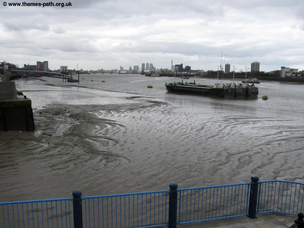
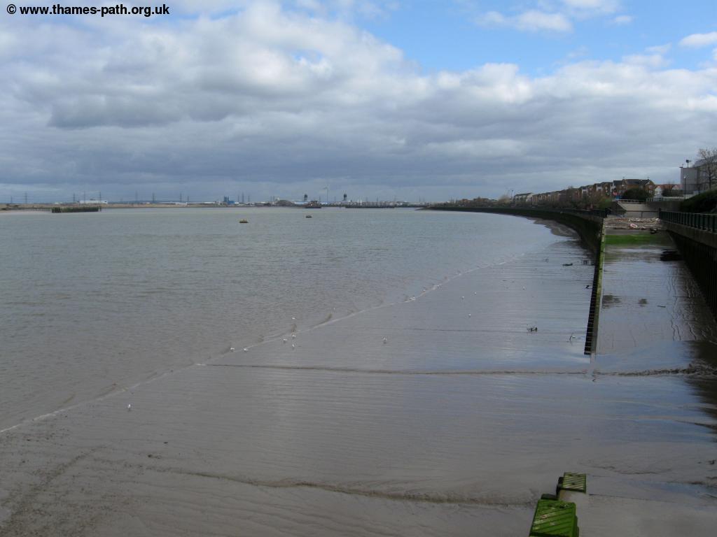
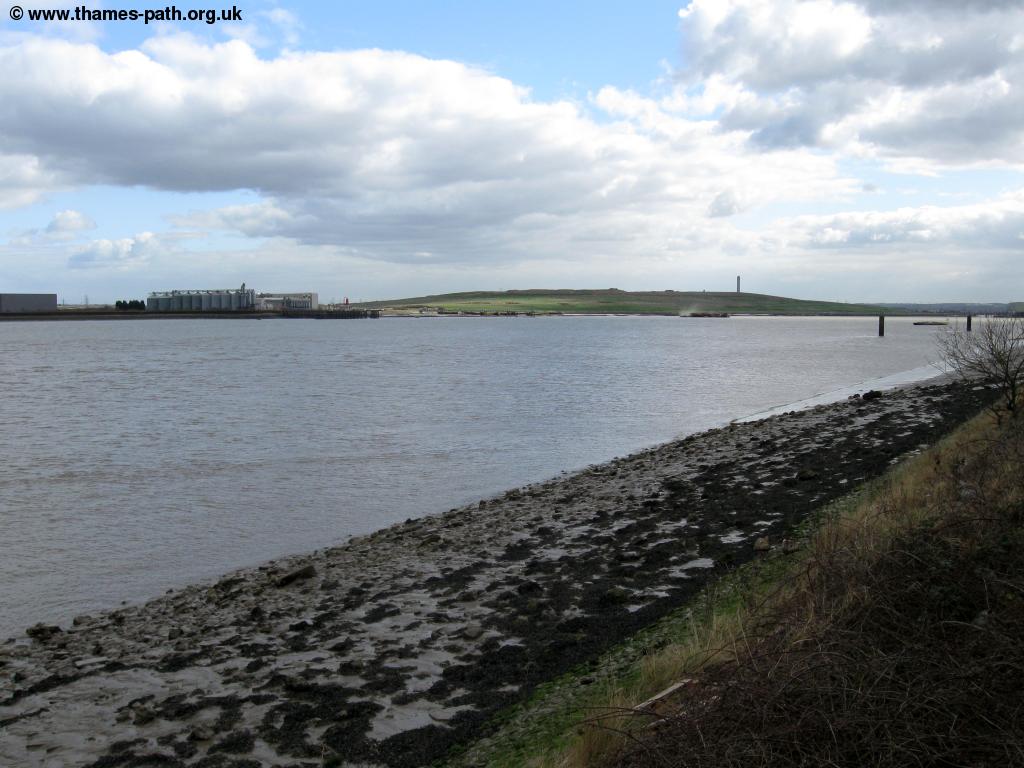
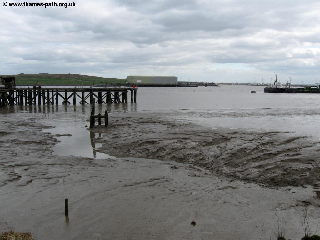
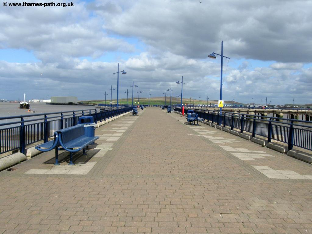
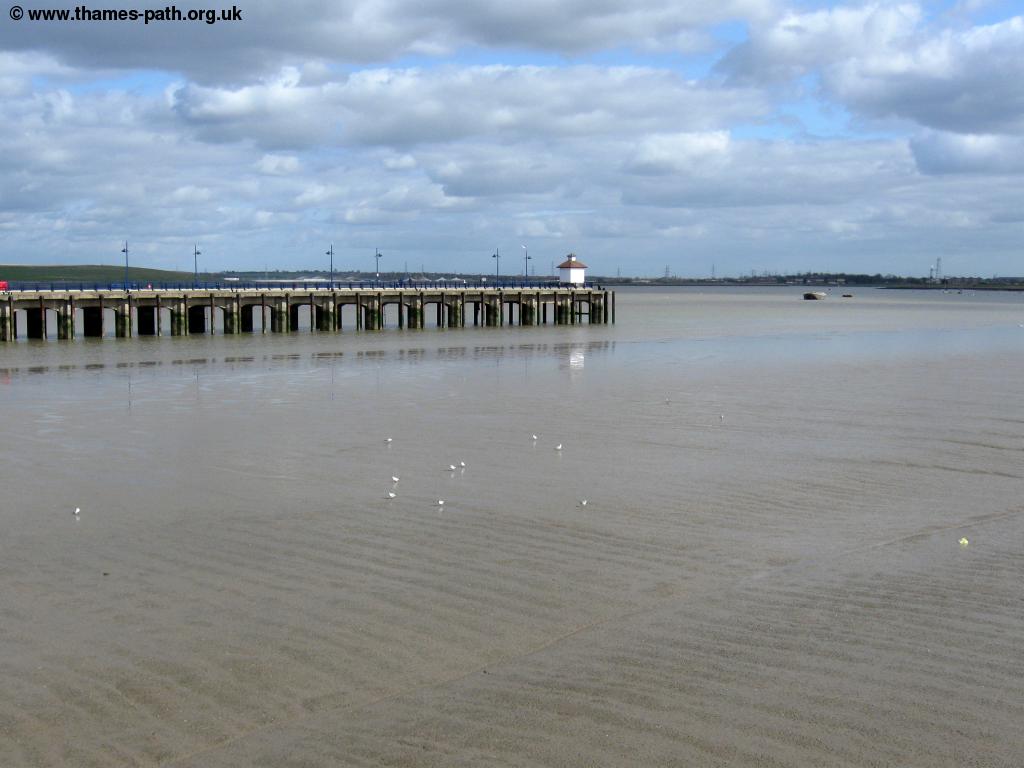
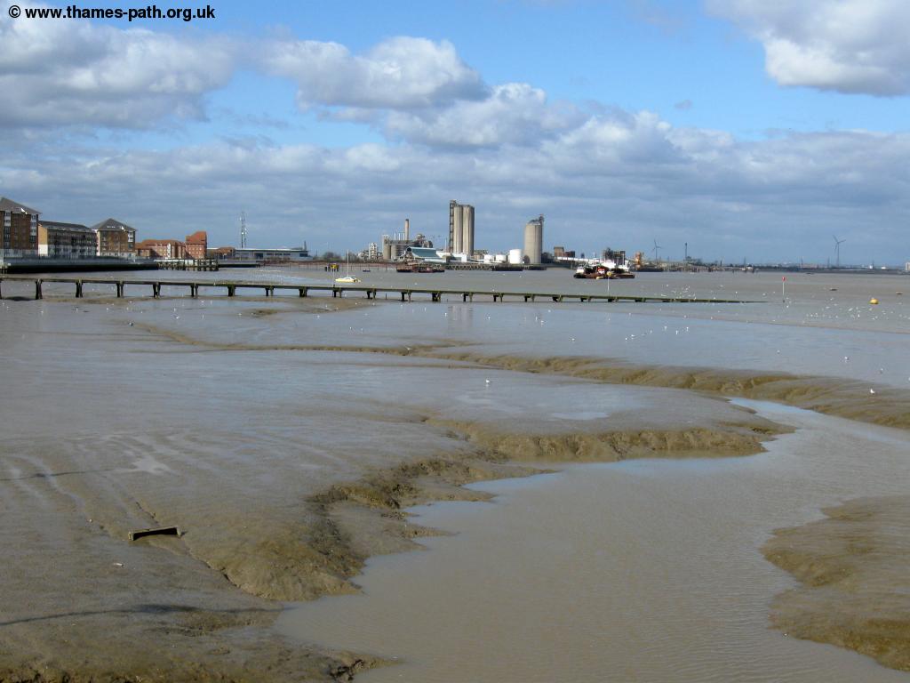
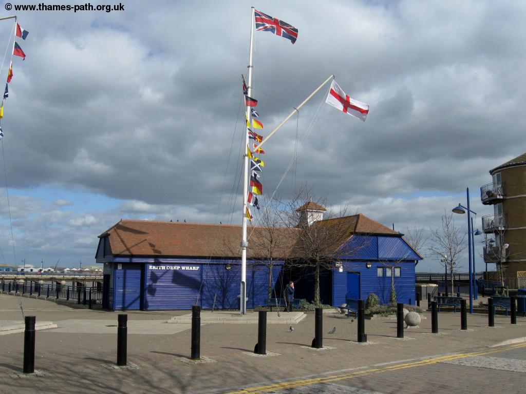
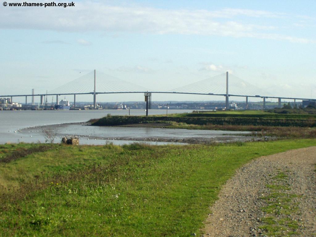
Thankfully soon the noise of the industry gives way to the residential property in Erith. Follow the river side path in front of the houses until you come to the pedestrian pier adjacent to the Morrison's super market. This pier is a more modern building of the original pier which was constructed as part of grand plans to turn Erith into a small resort, with the pier and pier hotel. Given the huge amounts of mud here it was never a success, the hotel later demolished and this more modern pier replacing the original. Unusually it is owned and maintained by the Morrison's supermarket nearby and is popular with fisherman and worth a walk along to enjoy the views of the Thames estuary. To the east the marshes can be seen with the next Thames crossing the QE2 bridge linking the M25 clearly visibly beyond.
 |
 |
| Erith | Erith Pier |
 |
 |
| Erith Pier | Erith |
 |
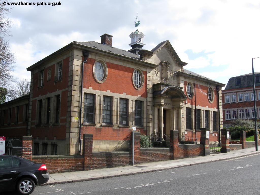 |
| Erith | Erith library |
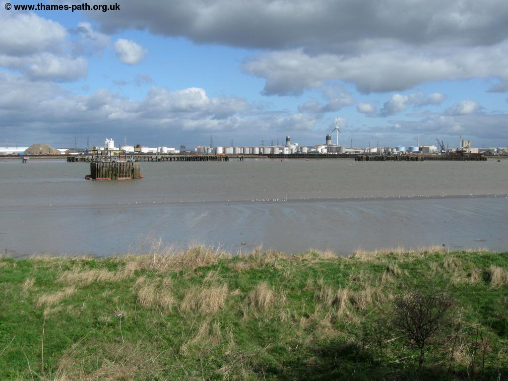
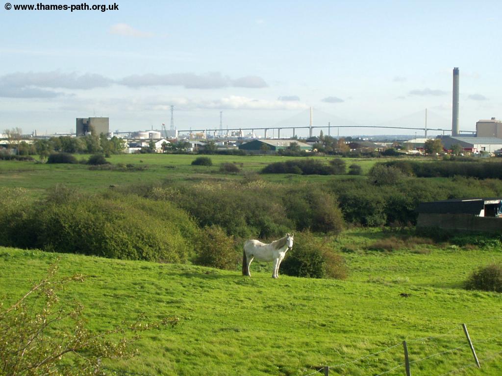
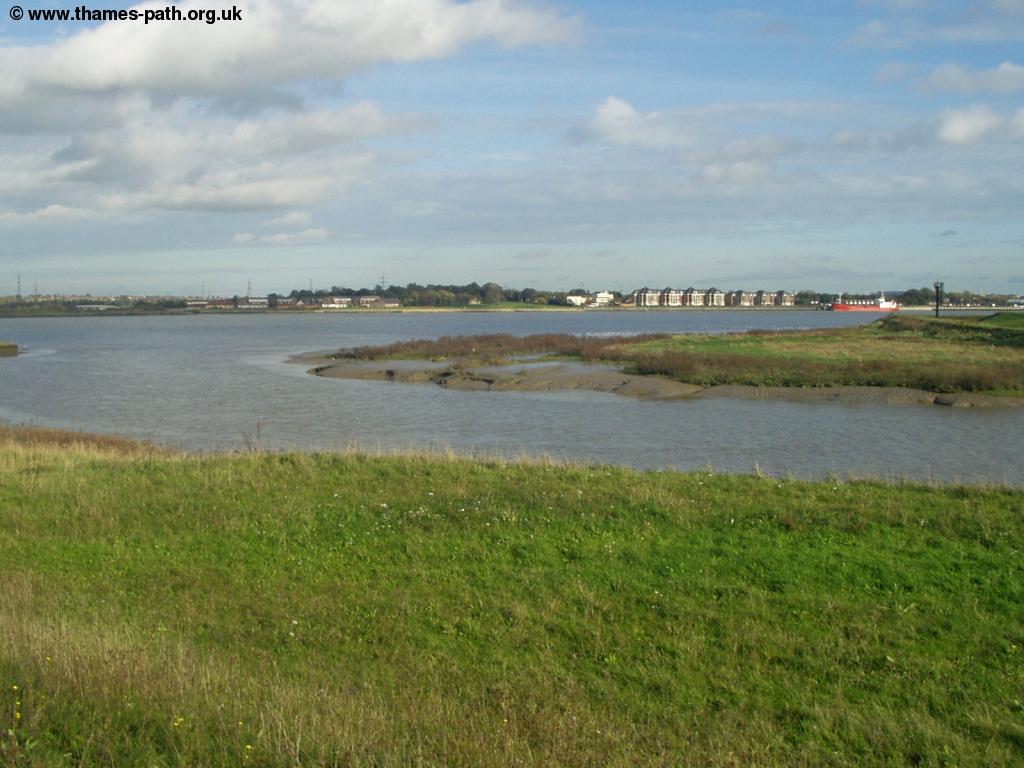
Continue on the path until you reach the end of the riverside walkway and turn right up the road then turn left. This road starts off residential but then becomes industrial, mostly concrete works and scrap metal as far as I could tell. I walked the path at the weekend so much of the industry was closed but I imagine on a weekday it will be worse. Soon however the industry ends and you follow the path (signed for Crayford Ness) to the left of one of the units and come out into the marshland. Here you can see the masts of the yachts at the nearby yacht club. Stick to the main gravel path as the path off to the left only goes to the yacht club. This path now goes across the marsh land now used for horse grazing. Ahead you can see the QE2 road bridge linking the M25 across the Thames with the traffic often barely noticeable, as the bridge is so high.
 |
 |
| Yacht club near Erith | Horse grazing with the QE2 bridge beyond |
 |
|
| The river near Crayford |
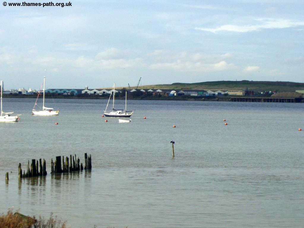
Continue along this riverside path as you come to Crayford Ness, with the revolving radar and the chimney of Dartford power station beyond. Here the Thames Path extension ends at the mouth of the river Darent. From here you have a choice to continue on the London LOOP ahead into Crayford or re-trace your steps back to Erith. The London LOOP is another long distance path that encircles London and takes a loop beginning from Erith and ending at Coldharbour point on the other side of the Thames.
 |
 |
| The River Darent mouth and QE2 bridge | The River Darent at Crayford Ness |
Getting Back
Whether you choose to return to Erith or continue to Crayford are regular trains from both stations back to Charlton and on to London Charing Cross or London Canon Street. All trains from Erith and Crayford are operated by South Eastern Trains. Trains also go east to Dartford where you can connect with trains to the Medway towns.
Links
Every effort is made to ensure the accuracy of information on this site, but liability will not be assumed in the event of any inaccuracies. Use of the information on this site is at your own risk. If you find any errors, please use the link below. The text and photographs on this web site are all Copyright © and may not be reproduced without prior permission.