Windsor to Bourne End
Windsor to Bourne End | |
| Upstream: Bourne End to Henley-on-Thames | Back to Main Page | Downstream: Staines to Windsor |
Introduction
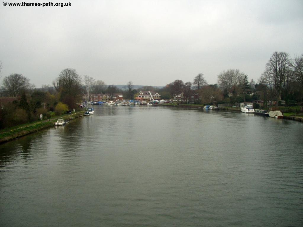
This walk heads away from Windsor and it's dominating Castle out to open fields alongside the Thames and Windsor Racecourse. After several miles of open countryside the Thames comes into Bray and on into Maidenhead, with it's many large houses. Beyond Maidenhead, cliffs line the North Bank of the river as the Thames Path heads briefly away from the river into the attractive village of Cookham, then continues through meadows into Bourne End.
Getting to the Start
There are two stations in Windsor, both are fairly grand, especially the central station. Windsor & Eton Riverside station is at the bottom of the high street, near the river and has trains every 30 minutes from London Waterloo, via Richmond, Twickenham and Staines, taking around 50 minutes, operated by South West Trains.
Windsor & Eton Central station is right opposite the castle (around 5 minutes walk to the river), but trains seem to be it's secondary purpose today - the single platform is right at the back of the building. The line is the end of a branch line from Slough with trains running every 30 minutes operated by First Great Western Link. Slough has frequent fast trains from London Paddington station, with the journey from London Paddington to Windsor taking from just 25 minutes, including the change at Slough.
Green Line Coaches run coaches approximately every hour from London Victoria Coach Station to Windsor, via Kensington, Hammersmith & Slough and on to Ascot and Bracknell. First Beeline run frequent buses from Slough, Heathrow Airport, Reading, Winnerish, Wokingham and Bracknell to Windsor.
If you're travelling by car, Windsor is just off junction 6 of the M4 motorway. It is also on the A308 and A332. The best car park to use is at Windsor & Eton Riverside station (in Thames Side). Other car parks which usually have space are in Romney Lock Road, next to the railway line and off King Edward VII Avenue (on the right-hand side as you head towards Datchet).
The Walk
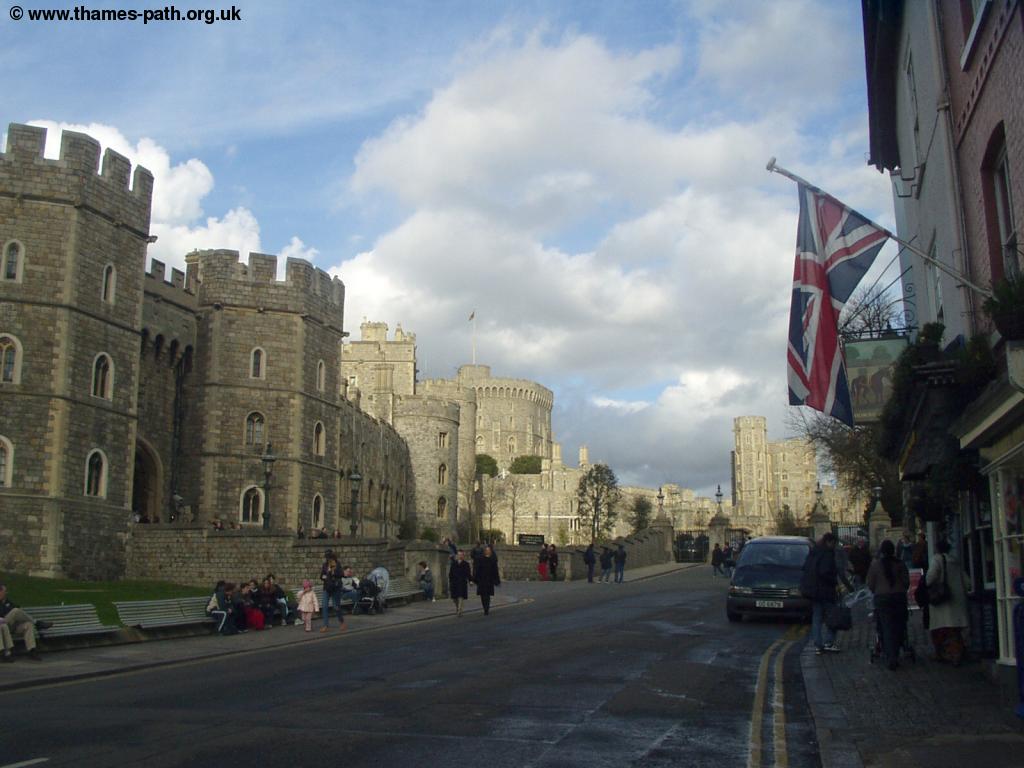
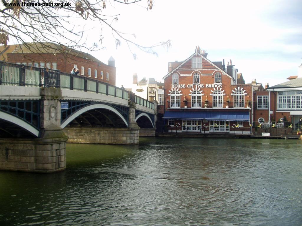
Windsor is a lovely town that is worth spending time looking around. The castle is open to the public most days (although sometimes the State Apartments are closed). The town also has a large range of shops and restaurants, the attractive Guildhall and Crooked House. Across the bridge is Eton, with it's famous College. The Thames Path crosses the river on Windsor Bridge, continuing on the Eton side of the bridge.
 |
 |
| Windsor Castle | Eton College |
 |
 |
| The river at Windsor | Windsor Bridge |
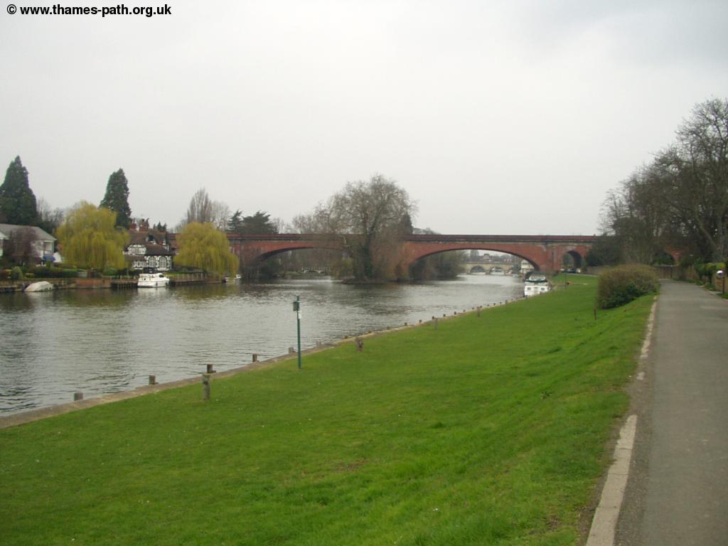
Once across the bridge take the first road on the left (Brocas Street), the path starts at the end of the road, where it opens out onto a meadow (The Brocas). Here are there are grand views back to the castle, towering over the town. The path continues through the meadow as you approach the attractive Windsor Railway bridge, carrying the line from Windsor into Slough.
 |
 |
| The Thames and Windsor Viaduct | Windsor Railway Bridge |
Once under the railway bridge you pass over two small bridges in quick succession over a small brook. This brook comes back out into the Thames a little further up, making this part of the path an island. Ahead is the unattractive concrete bridge (known as Elizabeth Bridge) that carries the A332 across the river.
 |
 |
| Elizabeth Bridge | The Brook |
Once under the bridge The Thames turns to the right, the attractive wooden bridge ahead crosses the same brook that was crossed earlier.
 |
 |
| Looking back to Elizabeth Bridge | The Wooden Bridge ahead |
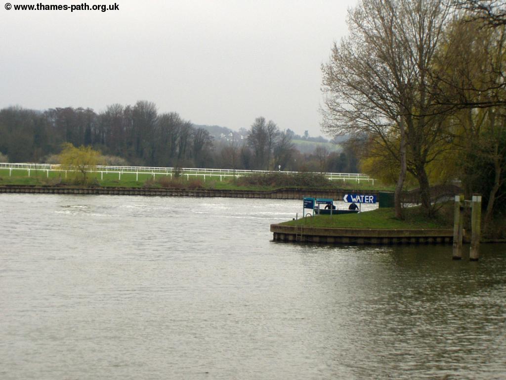
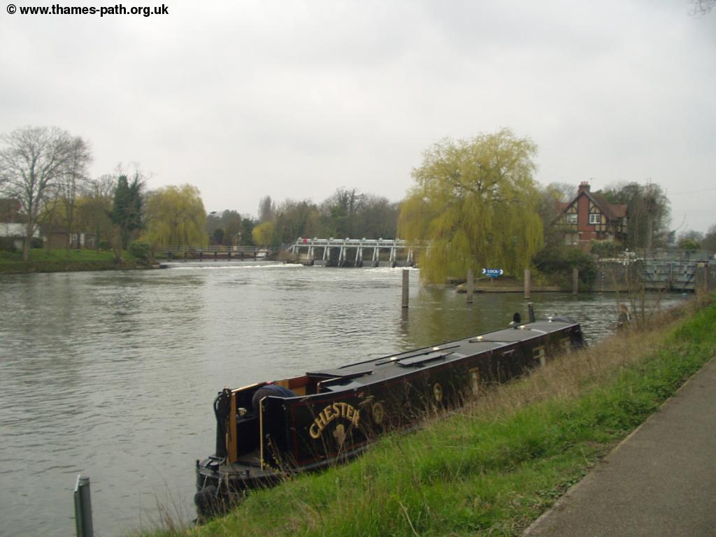
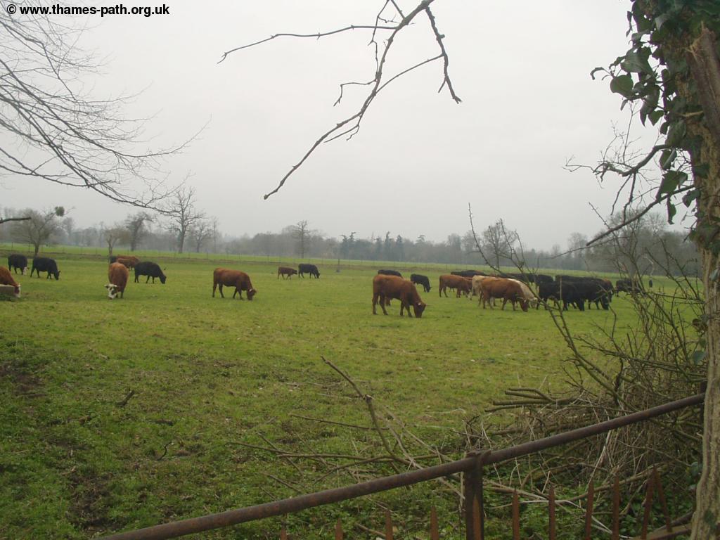
The Thames path now runs to countryside running next to a large meadow, with Windsor Racecourse across the river. Soon you cross another small bridge over Boveney Brook, which flows rapidly into the Thames. Ahead is Boveney Lock, the helpful sign Water next to the Lock entrance reminds you what that wet stuff is!
 |
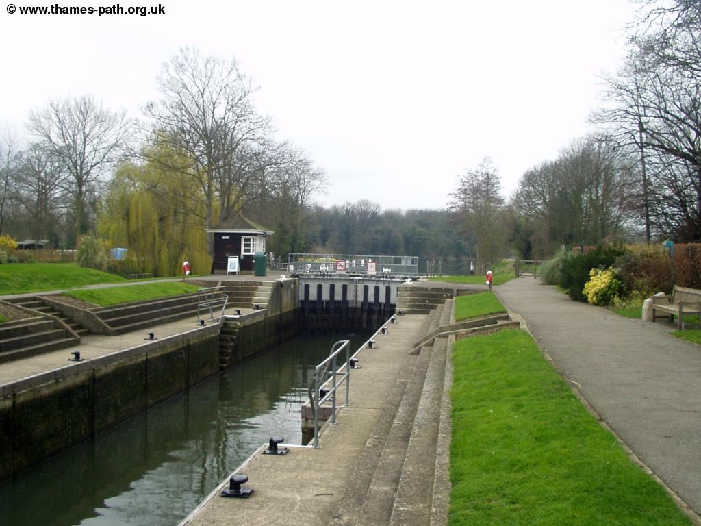 |
| Entrance to Boveney Lock - note the helpful sign. Windsor Racecourse is behind | Boveney Lock |
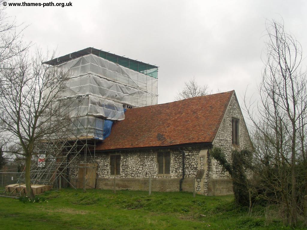
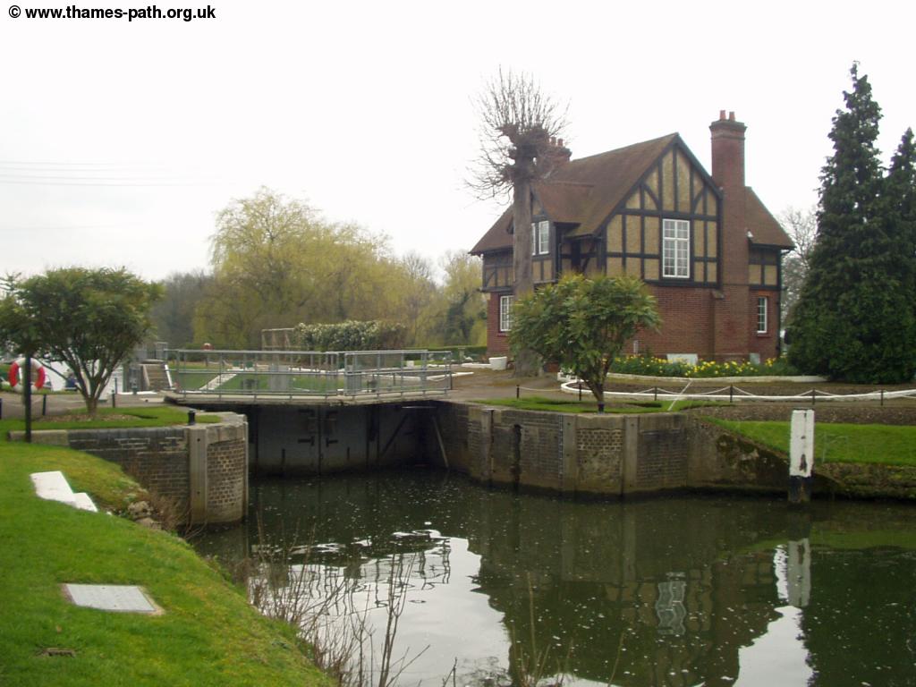
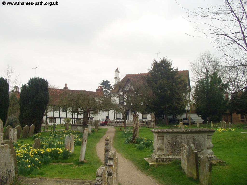
Beyond the lock the Thames returns to peaceful fields, with the racecourse across the river. Soon you come to an attractive church, St Mary Magdalene, alone by the river, but close to the small hamlet of Boveney. The Church is currently closed as it is undergoing major repair work, mainly to the wooden tower.
 |
| St Mary Magdalene Church, Boveney |
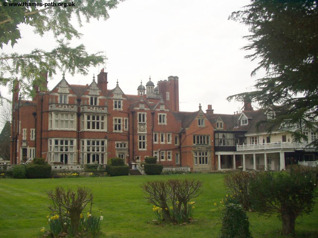
Beyond the church there is another "kink" in the Thames, known as Ruddles Pool, once round the corner there is a mobile home park across the river and then Windsor Mariner. Soon on the left you see the unusual building of Oakley Court, now a Hotel, complete with a tower.
 |
| Oakley Court |
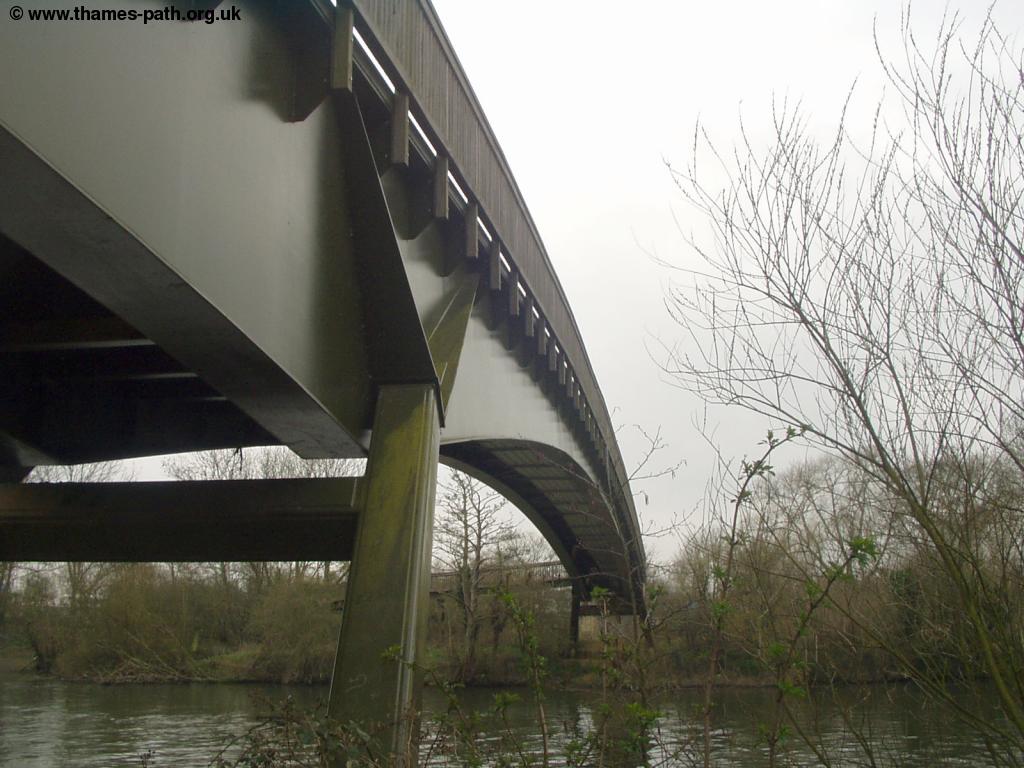
Beyond this impressive building, the Thames returns to relatively open countryside for a while before you come to the small footbridge, Summerleaze Bridge, which carries a conveyor belt for gravel workings and was opened in 1996. The bridge is oddly not shown on any maps that I have seen (information courtesy of Frances Caroll) . Soon The Thames Path goes along the bottom of gardens of the large houses of Dorney Reach to the right. Clearly the residents do not approve of the path, one owner has even erected a sign saying "No Stopping Right of Way Only" on the wall at the end of their garden. Soon you come to the M4 motorway bridge ahead - not as bad as some of the motorway bridges, but not what I'd describe as attractive, however it is the last motorway bridge over the Thames.
 |
 |
| Summerleaze Footbridge | The M4 bridge |
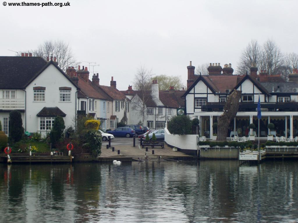
Once under the motorway you soon come to Bray Lock, on the outskirts of Bray. The village itself is very attractive and is home to many celebrities, although due to flooding some of these properties are apparently now uninsurable.
 |
 |
| Approaching Bray Lock | Bray Lock |
 |
 |
| Bray Lock | Bray |
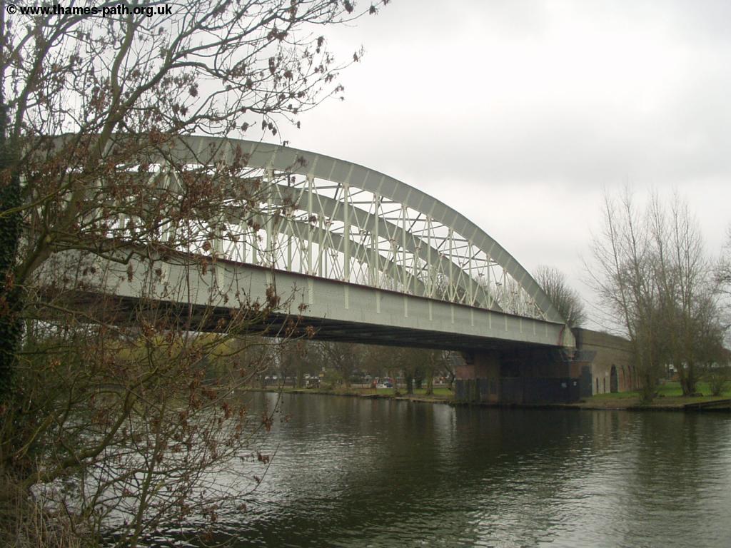
Although there are many large properties on the other side of the river, the right hand side where The Thames Path is remains undeveloped until the outskirts of Maidenhead. As you round the corner towards Maidenhead, the twin bridges can be seen. The nearest and highest bridge carries the Great Western Railway into London, the second bridge carries the A4.
On the outskirts of Maidenhead the path soon becomes a narrow road for the large houses on the left. The Thames Path appears to cut across the gardens of some of these houses.
 |
 |
| Approaching Maidenhead with the double bridges ahead. | Maidenhead Rail Bridge |
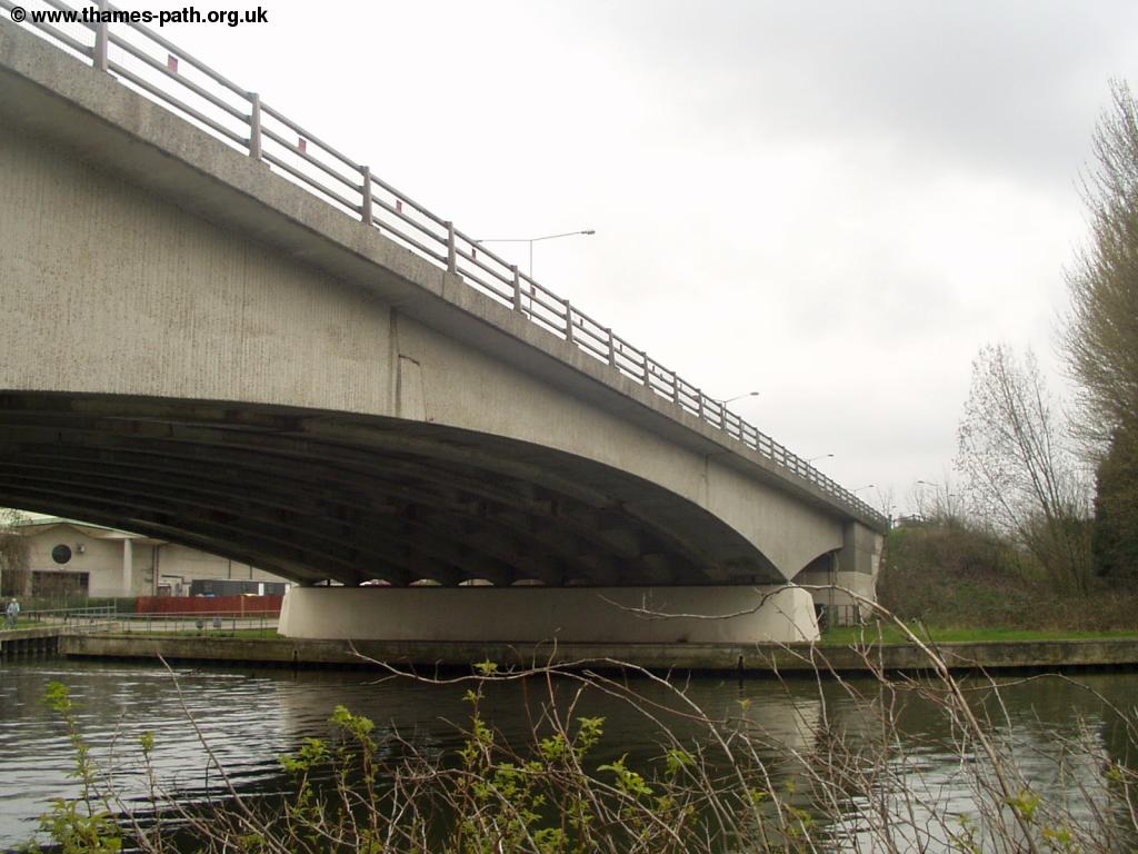
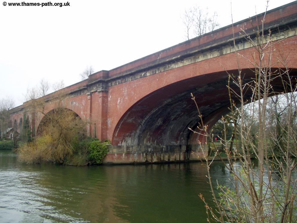
Soon you pass under the railway bridge, which dates from 1838 and was designed by Isambard Kingdom Brunel. The plaque on the bridge states that the brick arches are the widest and flattest in the world - at the time, many thought such a bridge would be impossible. Today trains continue to roar across this bridge at speeds of up to 125mph.
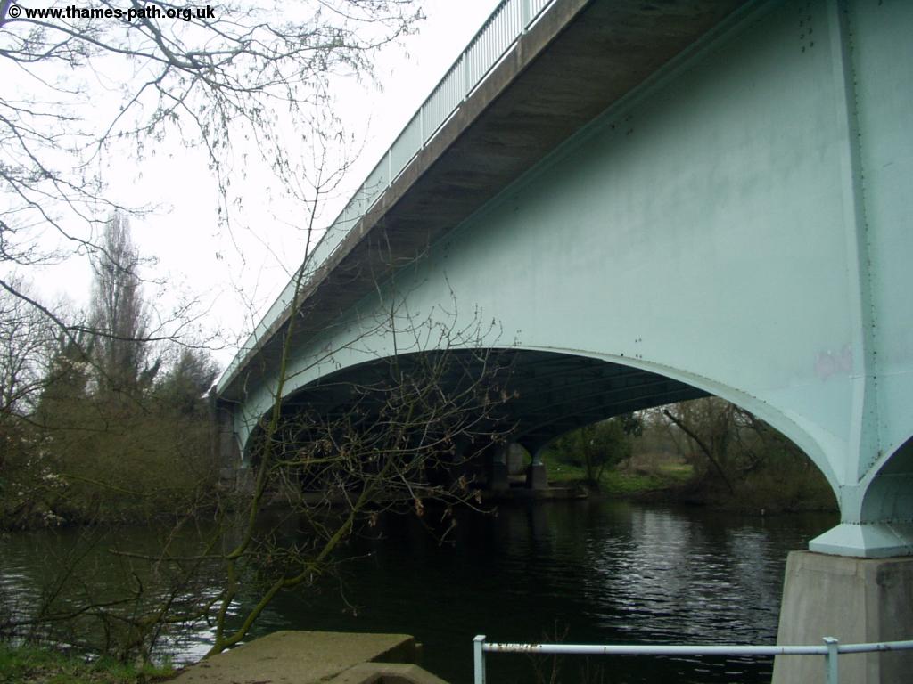
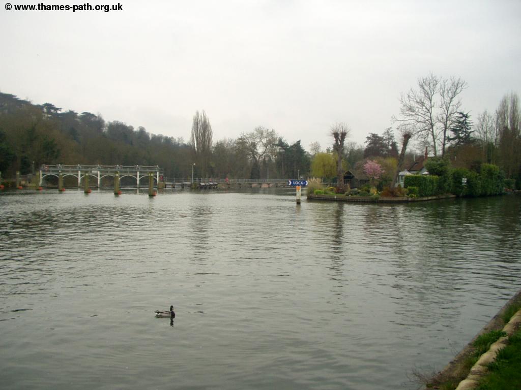
Once under the rail bridge, you pass more large houses on the left and get a good view of the attractive road bridge ahead. This bridge was built in 1777 and now carries The Thames Path, which crosses to the other bank here (as well as the A4 into the centre of Maidenhead).
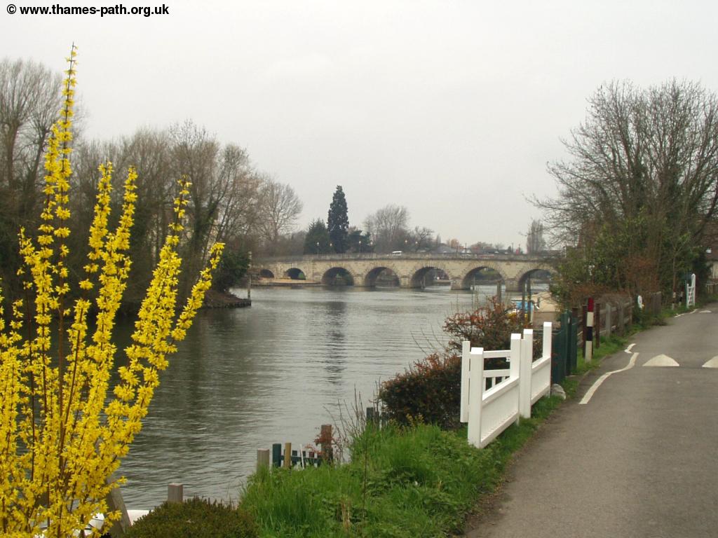 |
 |
| Approaching Maidenhead Road Bridge | Maidenhead Road Bridge |
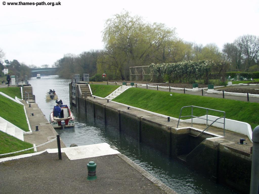
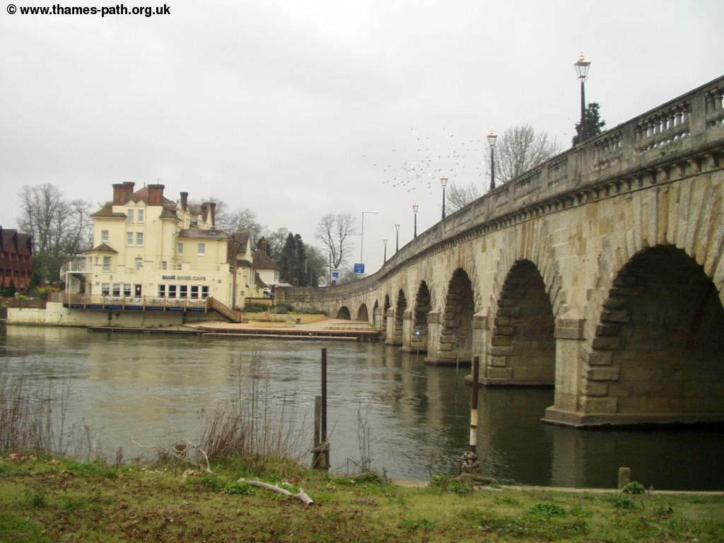
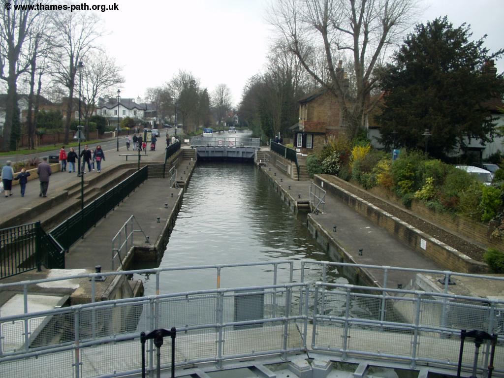
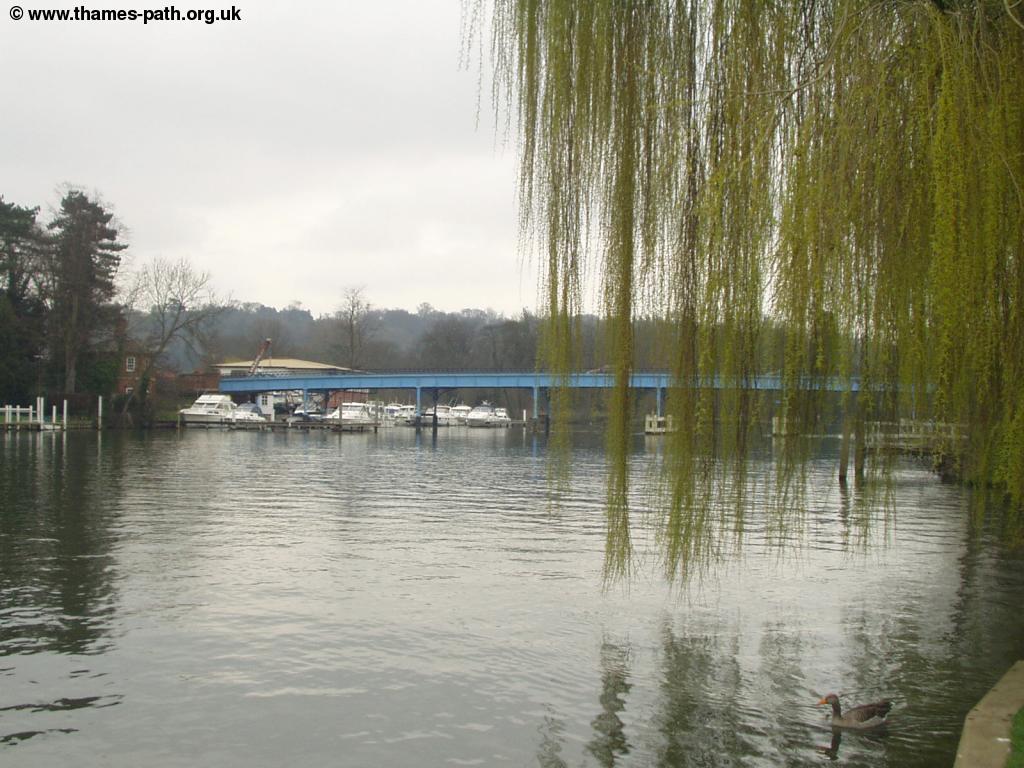
Once across the bridge the Thames Path follows the pavement alongside the busy Ray Mead Road. This part of the path is surprisingly busy, probably the busiest section of the path yet since London. The other side of the river is surprisingly undeveloped. The path continues next to the road all the way to Ray Mill Island, an attractive spot. The house on the island (now a bar and restaurant) was the house of Richard Dimbleby. The island itself is now a public garden and there is another lock here, called Boulters Lock.
 |
 |
| Boulters Lock | Looking back to Boulters Lock & Weir |
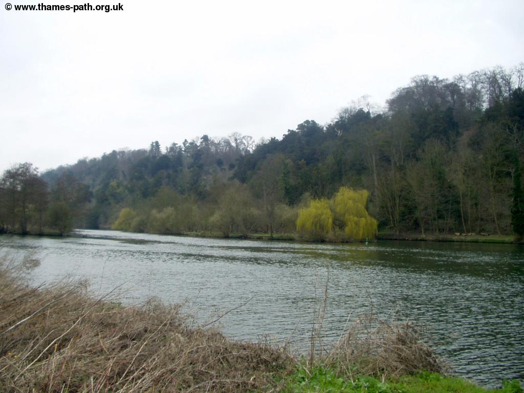
At the lock the Thames Path leaves the road and is once again peaceful. Some very large houses line the bank to the left. The bank on the other side of the river rises very quickly, forming cliffs, as this part of the path is now on the edge of the Chiltern Hills. Soon the buildings on the left give way to open fields, an odd contrast to the high cliffs across the river.
 |
 |
| One of the large houses next to the river | The River North of Maidenhead |
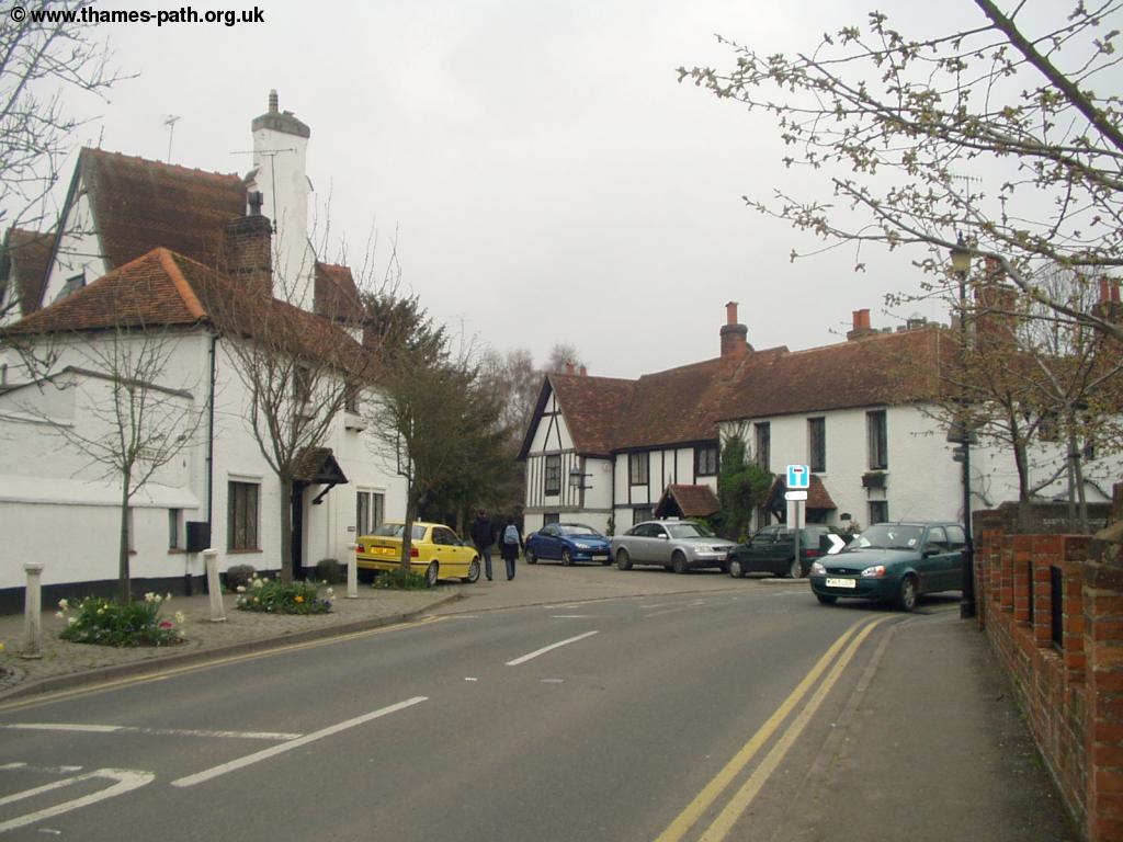
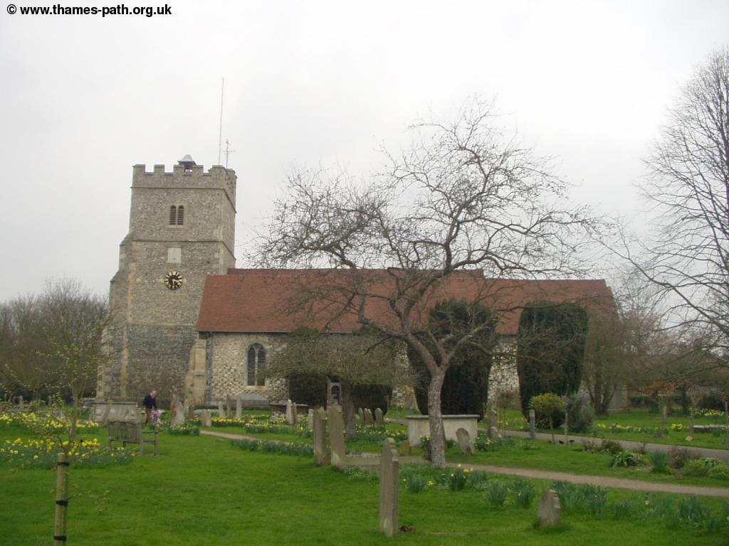
Soon the Cliveden Estate, now owned by the National Trust, can be seen across the river. Just after this point the path heads briefly away from the river, to cross Lulle Brook, into Cookham. Cookham is an attractive village and it would be worth looking around even if the Thames Path didn't run through it. The path soon becomes Mill Lane and when this gets to the main road (Sutton Road), turn right. This road crosses the High Street, head slightly left here, through the lovely Church Yard, rejoining the river behind the Church, just to the left of Cookham Bridge.
 |
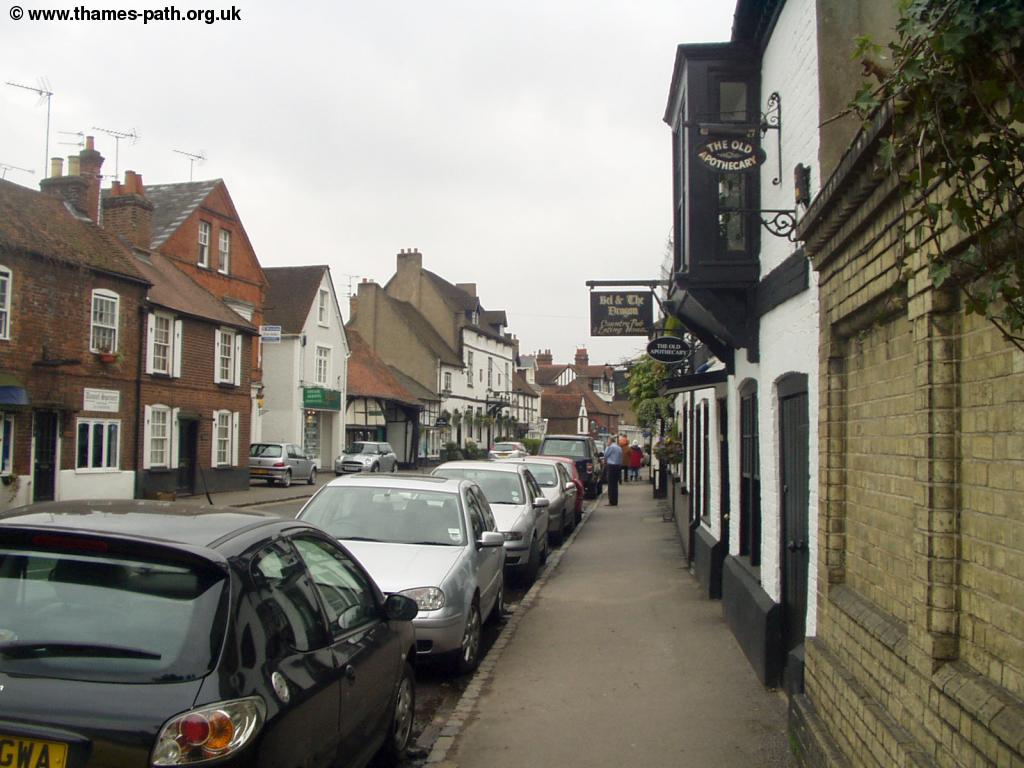 |
| Fields by the Thames, south of Cookham | Cookham High Street |
 |
 |
| Cookham High Street | Cookham |
 |
 |
| Cookham Church | Cookham |
 |
|
| Cookham Bridge |
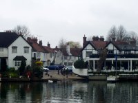
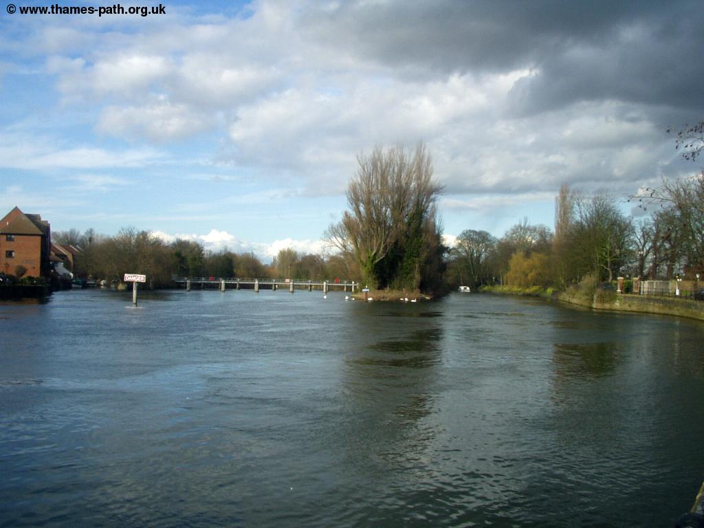
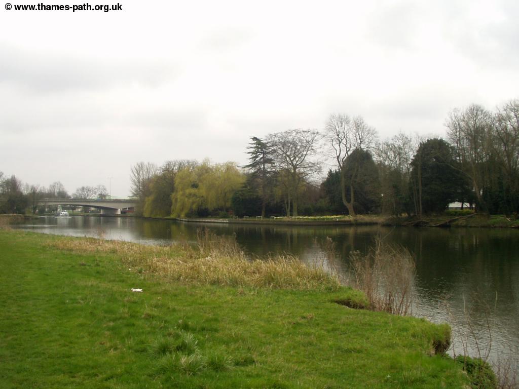
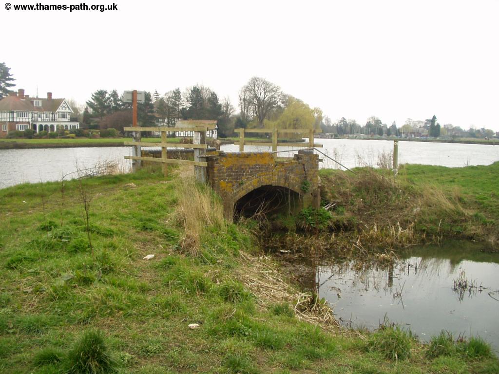
The Thames Path emerges from the Church yard at the edge of the village and the path now continues through attractive meadows all the way into Bourne End. The North side of the river is lined with houses all the way, but the South side of the river, where the path is, is undeveloped. Soon you see Bourne End Railway bridge ahead, which is looking in a sorry state. The Thames Path crosses this bridge, as there is a footpath adjacent to the railway line.
 |
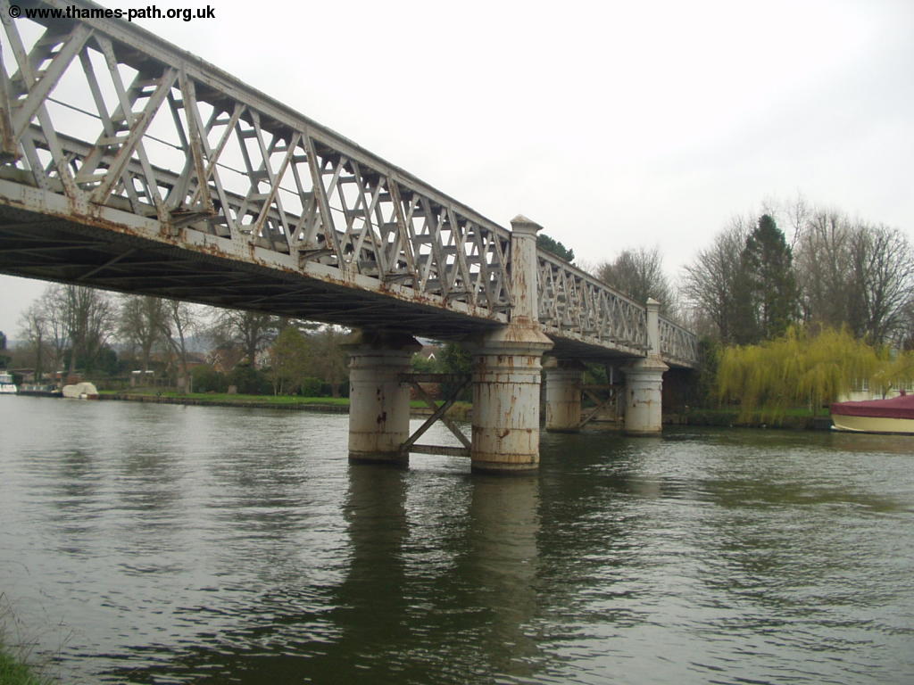 |
| An odd little bridge between Cookham and Bourne End | Rusting Bourne End Railway bridge |
 |
 |
| The Thames from Bourne End bridge | Bourne End Church |
Getting Back
If you're returning to Windsor or London, then the quickest way is by train from Bourne End Station, although it does normally involve changing trains (twice for Windsor, once for London). The station can be found by going under the bridge (once you've crossed it) and following the path, which emerges into Camden Place. When this emerges onto the main road (Hedsor Road), turn left until you get to the station. The station is an odd station, being a terminal station at the end of two branch lines, one from the main line at Maidenhead, the other from Marlow. Trains typically run hourly from Bourne End to Maidenhead with the train starting from Marlow and reversing at Bourne End to get to Maidenhead. At peak times on weekdays the service runs more frequently, with a few through trains to Slough and London, and a shuttle service between Bourne End and Marlow. From Maidenhead there are frequent trains to London Paddington, as well as Ealing Broadway (for London Underground) and Reading (for longer distance trains), with the journey from Bourne End to London typically taking around 50 minutes. For Windsor you need to change at Maidenhead and Slough, with the journey typically taking 40 - 50 minutes to Windsor & Eton Central. All of these services are operated by First Great Western.
Another option if you're returning to London and have a long wait for a train at Bourne End is to get a bus to Beaconsfield or High Wycombe, which typically run at least every 30 minutes. From High Wycombe there are frequent trains into London Marylebone, operated by Chiltern Railways, taking around 40 minutes.
Links
The following web sites provide information on the area.
Every effort is made to ensure the accuracy of information on this site, but liability will not be assumed in the event of any inaccuracies. Use of the information on this site is at your own risk. If you find any errors, please use the link below. The text and photographs on this web site are all Copyright © and may not be reproduced without prior permission