Hampton Court to Staines |
| Upstream: Staines to Windsor | Back to Main Page | Downstream: Richmond to Hampton Court |
Introduction
The Thames becomes considerably more rural beyond Hampton Court, passing through the last of the London suburbs and out into the towns of Surrey. Here the houses become larger, the bridges fewer and the gaps between towns more noticeable. The path passes several locks and weirs on this section of the path and even includes a ferry crossing.
Getting to the Start
Hampton Court has a station, at the end of a branch line from Surbiton and London Waterloo. It has trains every 30 minutes from London Waterloo, stopping at all the stations in between (with the exception of Queenstown Road). From London Waterloo the journey takes around 35 minutes. If you're coming from the west or south, there are frequent services from Basingstoke, Farnborough, Woking and Guildford to Surbiton, where you change for the line to Hampton Court. Hampton Court station is in London Travelcard Zone 6.
Hampton Court also has regular bus services. Bus are very regular (generally at least every 10 minutes) from Kingston. There are also buses from a variety of other destinations.
Finally if you are travelling by car, there is a fairly large car park at Hampton Court Station.
The Walk
This walk starts from Hampton Court Palace, one of the Royal Palaces. Now open to the public the palace and it's grounds are well-worth a visit, as it's famous maze. The Thames path from Kingston to Hampton Court is on the North Bank of the river, but it continues for the next part of the path on the South Bank, on the opposite side of the river from the Palace.
 |
 |
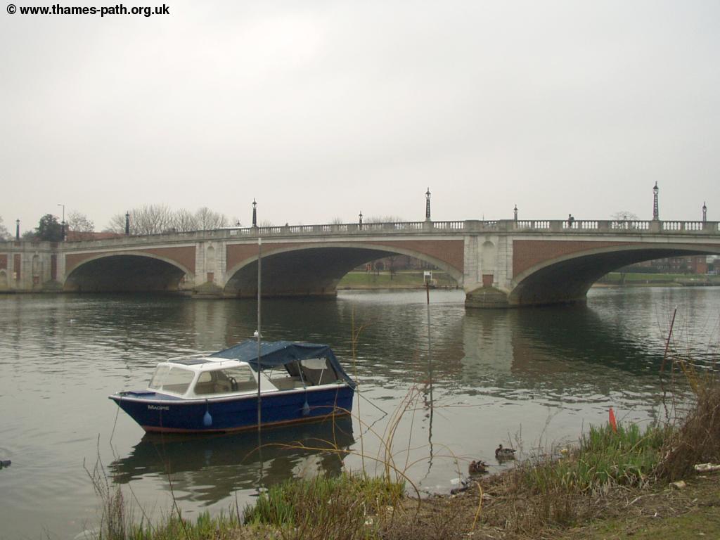
| Hampton Court Bridge | Hampton Court Palace & Bridge |
Very soon after leaving Hampton Court you come to the second lock on the Thames, Molesey Lock, where there is a weir, on both sides of Ash Island, passing Molesey Boat Club on the left.
 |
| Molesey Weir |
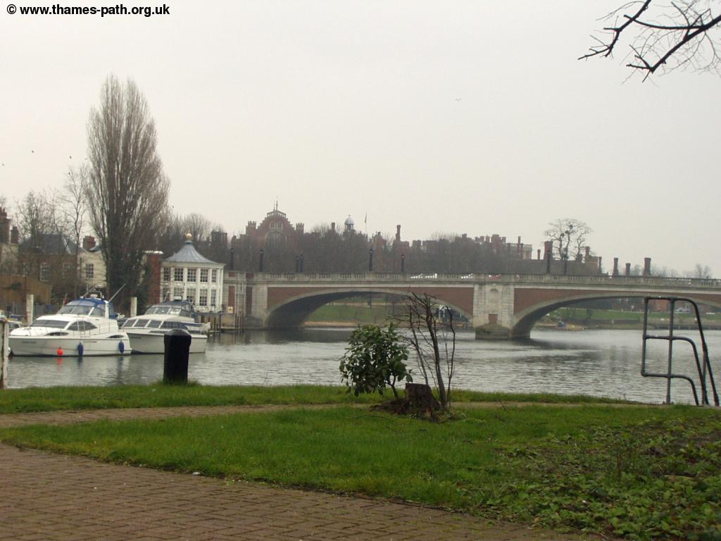
Beyond the Weir, it's back into more open countryside with Hurst Park to the left and the many houseboats at Tagg's Island to the right. This island is accessed from a bridge on the north side of the river. As you approach the small island of Garricks Ait ahead you get good views to Hampton across the river, with the skyline dominated by it's large and attractive church, which dates from 1831.
 |
 |
| Approaching Hampton | Hampton Church |
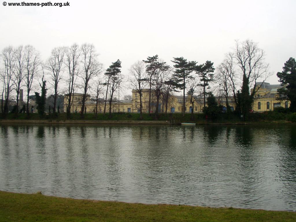
Beyond Hampton the large building of the water works can be seen across the river. On the South side of the river, the Thames path runs adjacent to the large Molesey Reservoirs on the left (hence the wall), which has several other large reservoirs behind it. On the north bank there are more reservoirs, this time known as Stain Hill Reservoirs. As the edge of the reservoir is well above the height of the river you can't see a lot to the left along this part of the path.
 |
 |
| The Water Works across the river | The path towards Sunbury |
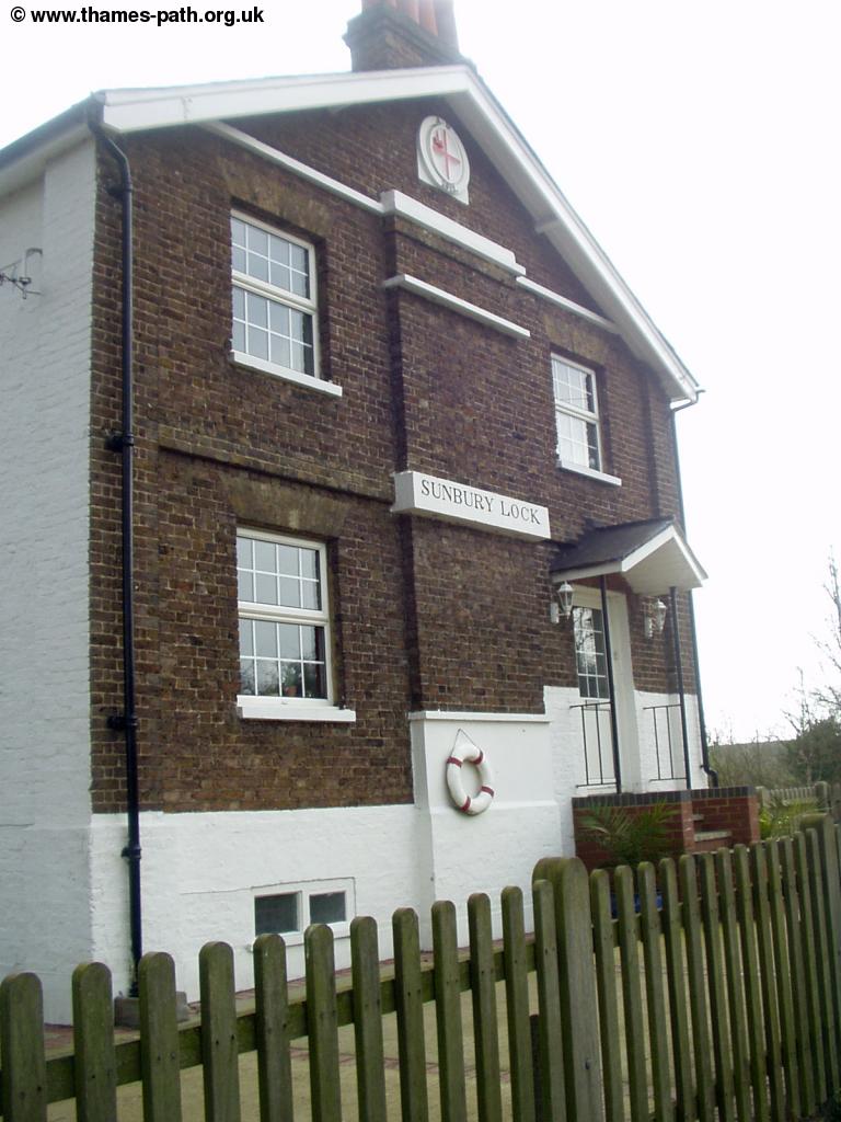
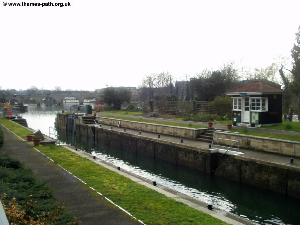
Once past the last of the reservoirs on the left the path comes into Sunbury, although most of the town is across the river on the north bank. The most obvious feature of Sunbury will be another lock ahead - this time Sunbury Lock which again has a weir.
 |
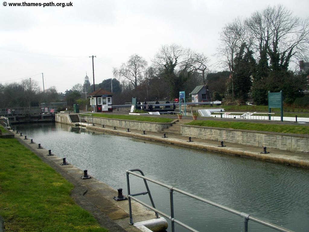 |
| Sunbury Lock | Sunbury Lock |
 |
|
| The Lock Keepers Cottage |
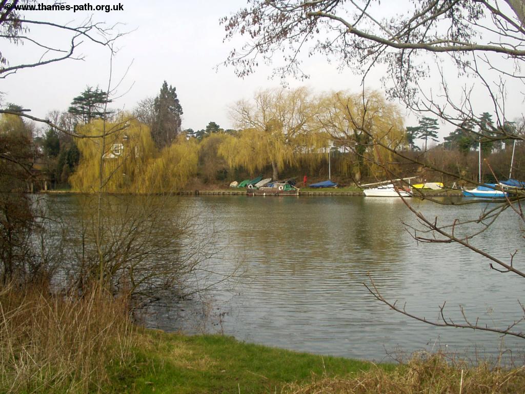
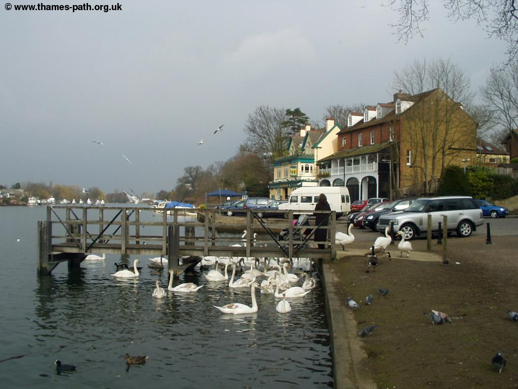
The path continues from Sunbury Lock, past the gas works, sports ground and oil terminal until you get to The Anglers Pub on the banks of the river, there is a small pier here too, which is popular for feeding swans from. The section of the Thames from Hampton Court to Chertsey seems to have far more wildlife than previous sections, mostly swans and geese. This part of the path is going through the northern part of Walton-on-Thames and you soon come to Walton Sailing Club where there is a bridge over the entrance to the mariner.
 |
 |
| The Anglers | Near Walton Sailing Club |
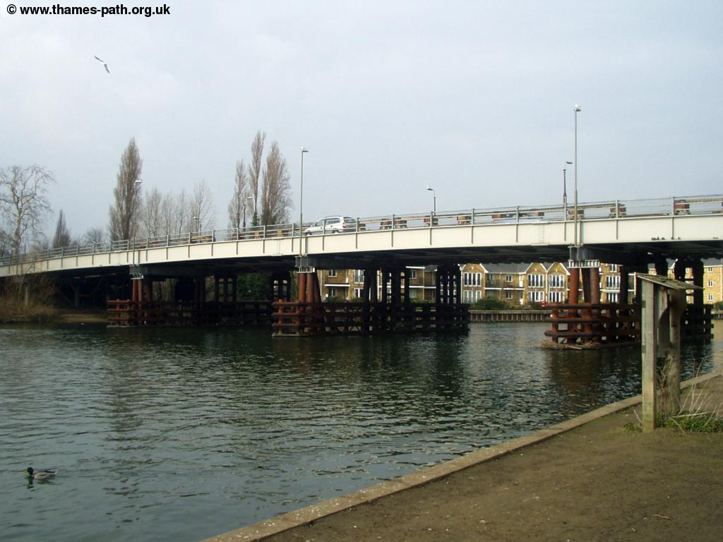
Once across the bridge to the mariner you come to Walton Bridge, a low metal bridge, probably the ugliest bridge on the river so far! There is good news on the horizon though, Surrey County Council is planning to replace this horrible bridge, and a planning application for the new bridge was submitted on 15th December 2003 so hopefully the current bridge won't be there for much longer!
 |
| Walton Bridge |
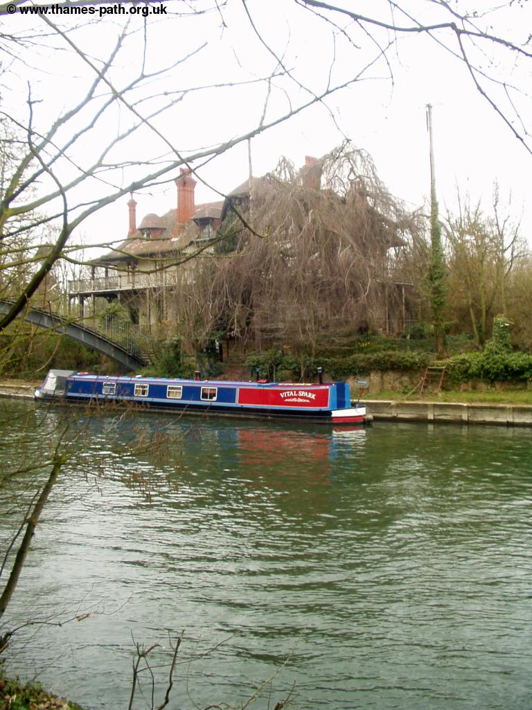
Across the bridge is the town of Shepperton, but the official Thames Path continues on the South side of the bank, and involves a ferry crossing in about a mile or so. If for any reason the ferry is not running (call 01932 254844 to check) you have to cross Walton Bridge. Continuing on the south side of the river, after the bridge you're walking next to meadows again, although there is a road right next to the path. Soon there is another choice of routes! The official route continues straight on, on Desborough Cut, but the old course of the Thames goes round the island, on a more twisty path. There is a towpath all the way, so if you want to walk this part of the path cross the small bridge onto the island (there is another bridge back over Desborough Cut at the other end).
 |
| The bridge onto Desborough Island |
Continuing on the official path is pleasant, with trees lining both banks, although the road remains close by to the left. Soon you get to the second bridge over from Desborough Island, where the alternative path rejoins the main path. Soon you get to another small island, known as D'Oyly Carte Island, with an attractive house connected by a small footbridge to the south bank of the Thames. This island was named after Richard D'Oyly Carte who lived there from the 1880s onwards and was the produce of the Gilbert and Sullivan opera's as well as the owner of the Savoy Hotel and Savoy Theatre in London. This was his residential home although he planned to turn it into a country hotel but was refused a licence. (Information courtesy of Andy and Julie).
 |
| D'Oyly Carte Island |
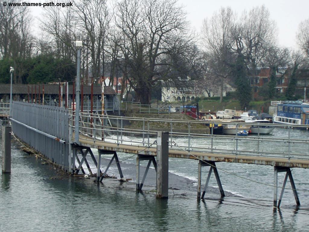
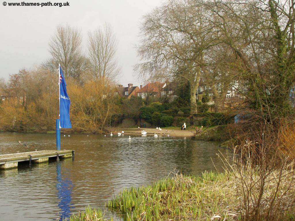
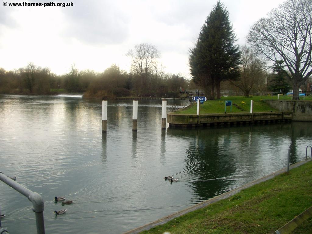
After passing the island you soon come to the ferry crossing, where the Thames Path crosses the river again. The small ferry runs every 15 minutes 7 days a week, from 8:00am until 17:30 (with a later start at weekends). To summon the ferry you have to ring a bell, which you must only ring on the hour, at quarter past, half-past and quarter to the hour. The crossing costs £1 for adult foot passengers. Bikes can also be taken on the ferry for an extra charge. To confirm the ferry is running, call 01932 254844. The ferry stops by Shepperton Lock on the other bank of the river and on the other side of the Lock, the River Wey joins the Thames.
 |
 |
| Shepperton Lock | The Thames by Shepperton Lock |
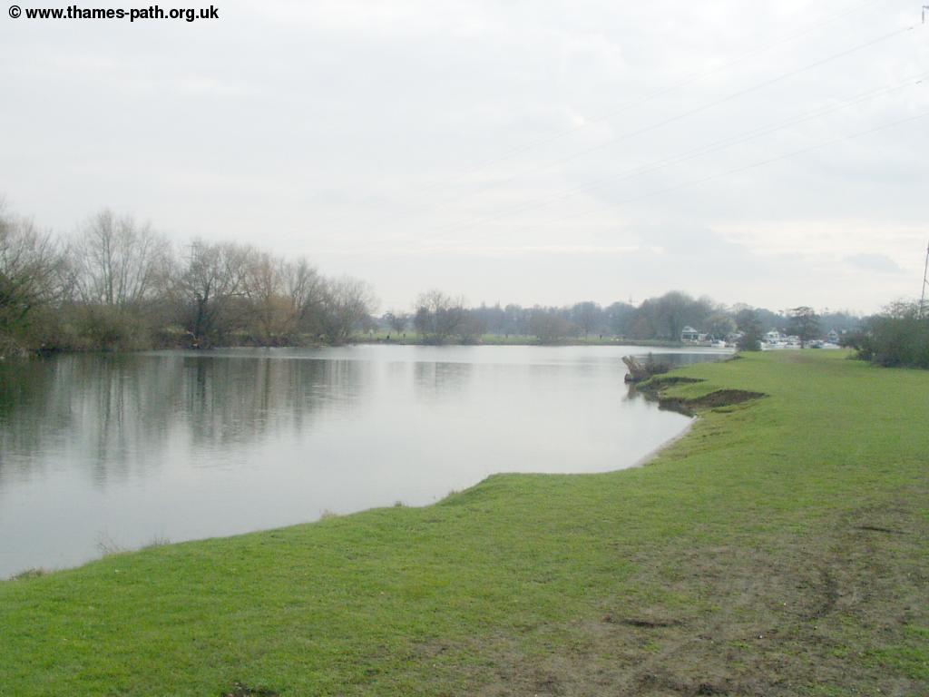
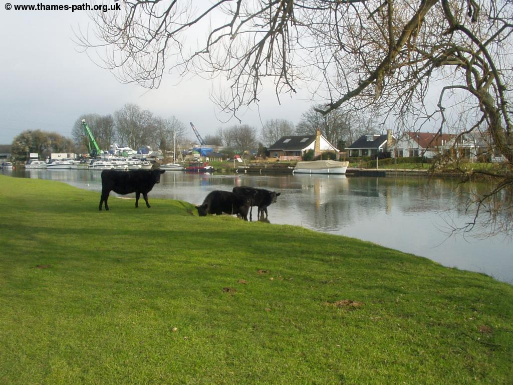
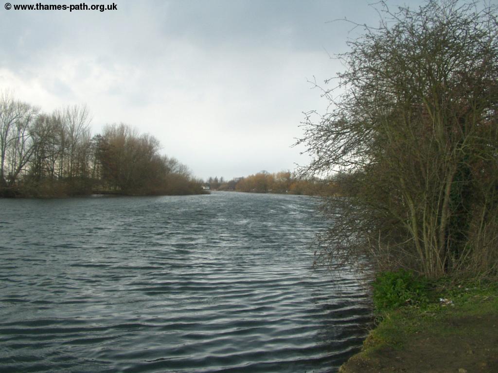
From Shepperton Lock, the path passes next to a small community of houses adjacent to the river, which is lined with willow trees. Soon the houses end to be replaced with large meadows, the first time the Thames has felt truly rural. Although there is the noise of traffic on the nearby road, it is otherwise a rural landscape. As I approached Chertsey bridge there were cattle grazing in the meadow and even drinking from the river.
 |
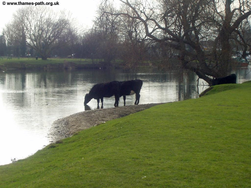 |
| The Thames between Shepperton & Weybridge< | Cattle drinking from the Thames near Chertsey |
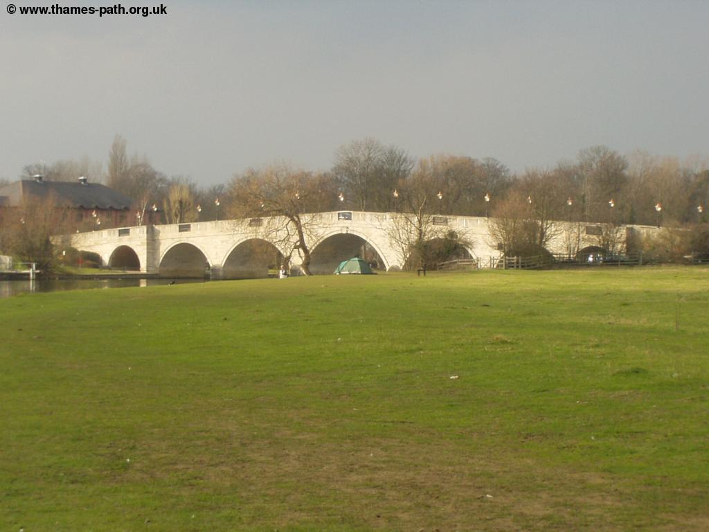
Soon the buildings that mark the edge of Chertsey can be seen, though oddly there is almost no development across the other side of the river. Chertsey bridge is an elegant bridge, and is certainly a lot better than Walton bridge!
 |
 |
| Cattle near Chertsey Bridge | Approaching Chertsey Bridge |
 |
 |
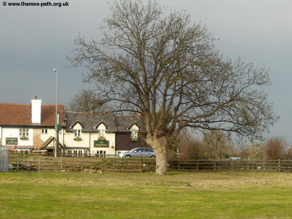
| The Kingfisher, Chertsey | Chertsey Bridge |
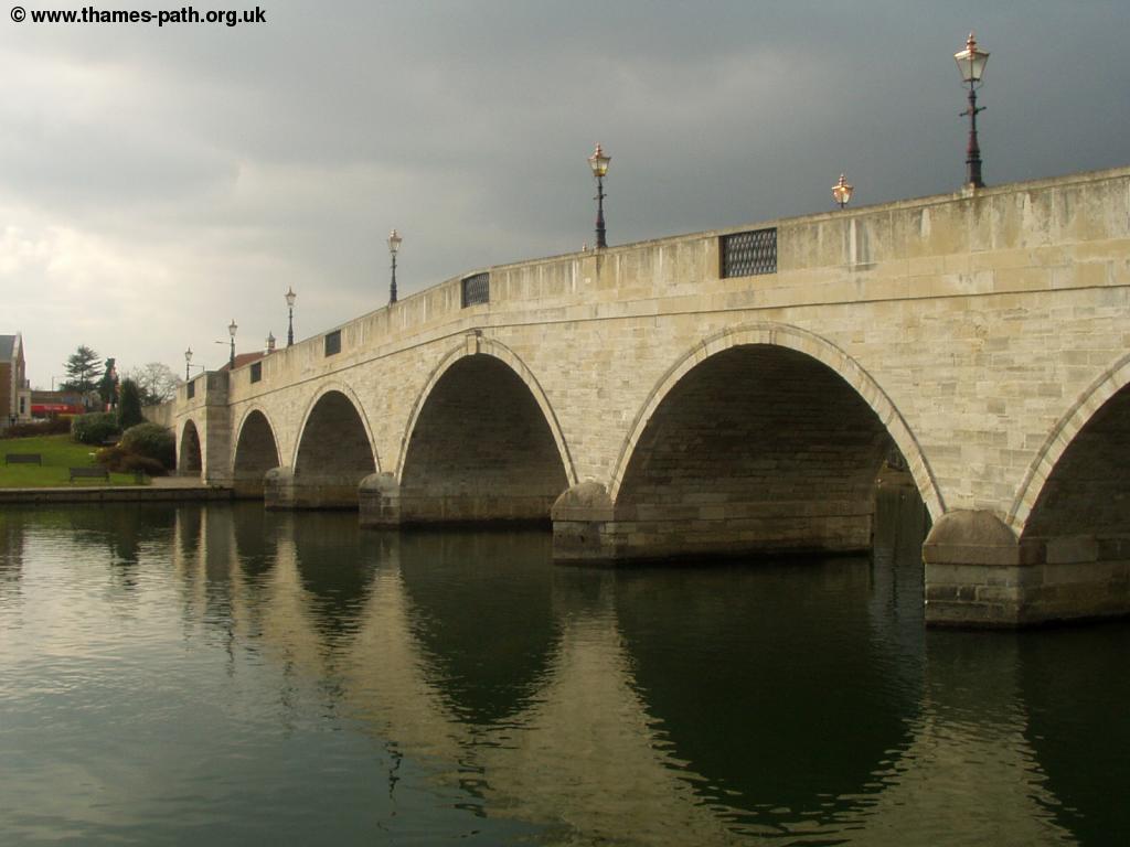
Just beyond Chertsey bridge is Chertsey lock and weir.
 |
| Chertsey Lock |
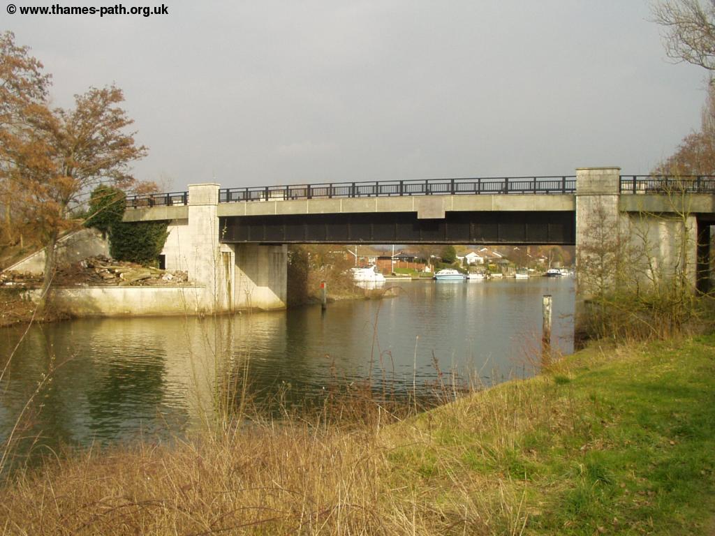
Shortly after the Lock the Thames goes under the M3 motorway on an ugly concrete and metal bridge, but beyond it, the Thames takes on a rural feel again.
 |
| The river north of Chertsey |
After passing a small reservoir to the right, the Thames path comes to Laleham Park, a large open space, part of which is a camp site! Soon the path is lined with houses again and another Lock approaches, this time Penton Hook Lock. The island can be accessed from the bridge over the Lock and has become a nature reserve.
 |
| Penton Hook Lock |
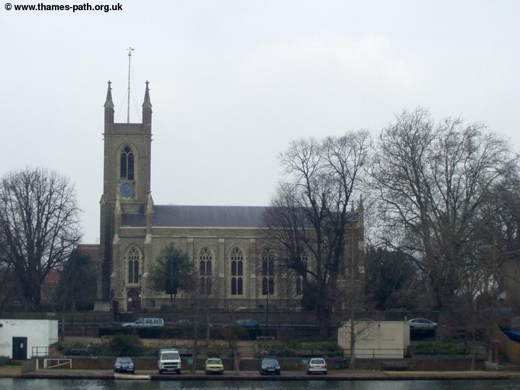
The houses continue next to the path all the way into Staines, making it difficult to find where Laleham ends and Staines begins. There is an interesting mix of architectural styles here, as hardly any houses seem to be the same. Soon the houses begin to give way to low-rise blocks of flats as the path comes into Staines, passing the attractive church on the right.
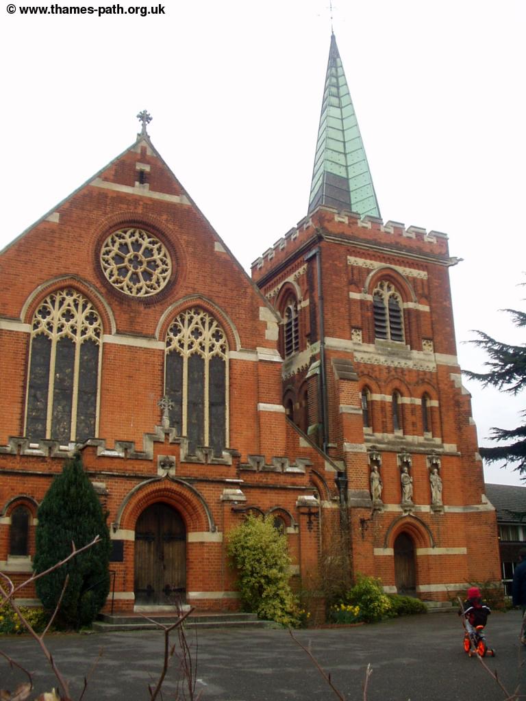 |
| St Peters Church Staines |
Getting Back
There is a station in Staines, which is well connected with lines running to the North, West, South and East! To get to the station leave the Thames path just before you pass under the railway bridge, walk through the small public garden next to the river, onto the main road (Laleham Road). Turn back away from the bridge and turn left down Gresham Road. As the road starts to turn to the right there is the footbridge which takes you into the station.
Staines has 6 trains per hour to London Waterloo, operated by South West Trains, which run via Ashford, Feltham, Twickenham and Richmond. Trains also run west from Staines to Reading every 30 minutes via Ascot, Bracknell and Wokingham. To the north, there are trains to Windsor & Eton every 30 minutes and to the south, trains to Weybridge (via Virginia Water & Chertsey) every 30 minutes.
To return to Hampton Court, bus service 216, operated by London United, runs 3 times per hour back to Hampton Court. Buses also run regularly from Staines to Heathrow Airport, where there are connections with National Express coach services. If you're returning to Hampton Court by train, you need to change at Weybridge & Surbiton or at Clapham Junction.
Links
The following web sites provide information on the area.
Every effort is made to ensure the accuracy of information on this site, but liability will not be assumed in the event of any inaccuracies. Use of the information on this site is at your own risk. If you find any errors, please use the link below. The text and photographs on this web site are all Copyright © and may not be reproduced without prior permission